2011 Bethabara Rd Hayesville, NC 28904
Estimated Value: $380,000 - $643,136
2
Beds
3
Baths
1,862
Sq Ft
$273/Sq Ft
Est. Value
About This Home
This home is located at 2011 Bethabara Rd, Hayesville, NC 28904 and is currently estimated at $507,534, approximately $272 per square foot. 2011 Bethabara Rd is a home with nearby schools including Hayesville Elementary School, Hayesville Middle School, and Hayesville High School.
Ownership History
Date
Name
Owned For
Owner Type
Purchase Details
Closed on
Sep 26, 2024
Sold by
Bussolari Thomas and Bussolari Barbara
Bought by
Bussolari Thomas Guy and Bussolari Amanda
Current Estimated Value
Purchase Details
Closed on
Jun 25, 2015
Sold by
Bussolari Thomas G and Bussolari Barbara R
Bought by
Bussolari Thomas and Bussolari Barbara
Purchase Details
Closed on
Jul 17, 2012
Sold by
Bussolari Thomas G and Bussolari Barbara R
Bought by
Bussolari Thomas G and Bussolari Barbara R
Create a Home Valuation Report for This Property
The Home Valuation Report is an in-depth analysis detailing your home's value as well as a comparison with similar homes in the area
Home Values in the Area
Average Home Value in this Area
Purchase History
| Date | Buyer | Sale Price | Title Company |
|---|---|---|---|
| Bussolari Thomas Guy | -- | None Listed On Document | |
| Bussolari Lee Ann | -- | None Listed On Document | |
| Bussolari Thomas Guy | -- | None Listed On Document | |
| Bussolari Thomas | -- | None Available | |
| Bussolari Thomas G | -- | None Available |
Source: Public Records
Tax History
| Year | Tax Paid | Tax Assessment Tax Assessment Total Assessment is a certain percentage of the fair market value that is determined by local assessors to be the total taxable value of land and additions on the property. | Land | Improvement |
|---|---|---|---|---|
| 2025 | $1,981 | $349,200 | $173,100 | $176,100 |
| 2024 | $1,981 | $625,300 | $234,600 | $390,700 |
| 2023 | $7 | $458,200 | $234,600 | $223,600 |
| 2022 | $2,506 | $533,200 | $234,600 | $298,600 |
| 2021 | $2,515 | $535,200 | $234,600 | $300,600 |
| 2020 | $2,515 | $535,200 | $234,600 | $300,600 |
| 2019 | $2,515 | $535,200 | $234,600 | $300,600 |
| 2018 | $2,515 | $535,200 | $234,600 | $300,600 |
Source: Public Records
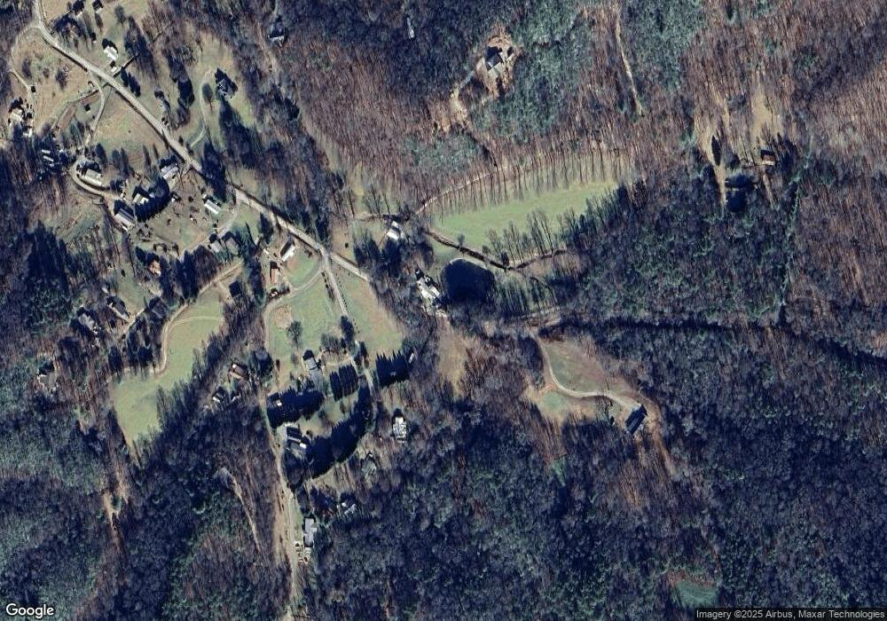
Map
Nearby Homes
- 0000 Bethabara View
- 0 Bethabara View Unit 11
- 102 Hideaway Cove
- 78 Hideaway Cove
- 00 Blue Ridge Heights Dr
- #61 Shiloh
- 770 Geisky Creek Rd
- 1 Gabriel Ridge
- 4 Gabriel Ridge
- Lot 58M Ridges Overlook
- Lot 37M Ridges Overlook
- 39M 40M Ridges Overlook
- 3 Gabriel Ridge
- 2 Gabriel Ridge
- 9.12-AC Mission Hill Rd
- Lot 5J Eagle Fork Trail
- Lot 32 Shiloh Trail
- Lot 21 Skyview Overlook
- Lot 23 Skyview Overlook
- Lot 38 Skyview @ Wildlife Acres
- 10 Forest Cove Trail
- 2042 Bethabara Rd
- 137 Forest Cove Trail
- 82 Forest Cove Trail
- 1884 Bethabara Rd
- 151 Forest Cove Trail
- 200 Forest Cove Trail
- 12 Forest Cove Trail
- 12 Ledford Dr
- 19 Ledford Dr
- 191 Forest Cove Trail Unit 10
- 191 Forest Cove Trail
- 202 Sally Gap Trail
- 233 Forest Cove Trail
- 233 Forest Cove Trail Unit 9
- 99 Ledford Dr
- 66 Ledford Dr
- 1805 Bethabara Rd
- 246 Forest Cove Trail
- 1722 Bethabara Rd
Your Personal Tour Guide
Ask me questions while you tour the home.