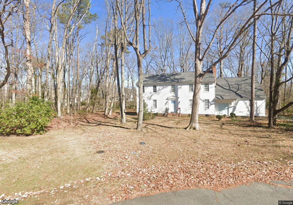
2011 Brancaster Ct Midlothian, VA 23113
Salisbury NeighborhoodEstimated Value: $565,629 - $654,000
4
Beds
3
Baths
2,376
Sq Ft
$256/Sq Ft
Est. Value
About This Home
This home is located at 2011 Brancaster Ct, Midlothian, VA 23113 and is currently estimated at $608,907, approximately $256 per square foot. 2011 Brancaster Ct is a home located in Chesterfield County with nearby schools including Bettie Weaver Elementary School, Midlothian Middle School, and Midlothian High School.
Ownership History
Date
Name
Owned For
Owner Type
Purchase Details
Closed on
Mar 20, 2002
Bought by
Ross John
Current Estimated Value
Home Financials for this Owner
Home Financials are based on the most recent Mortgage that was taken out on this home.
Original Mortgage
$100,000
Outstanding Balance
$41,332
Interest Rate
6.91%
Mortgage Type
New Conventional
Estimated Equity
$567,575
Create a Home Valuation Report for This Property
The Home Valuation Report is an in-depth analysis detailing your home's value as well as a comparison with similar homes in the area
Home Values in the Area
Average Home Value in this Area
Purchase History
| Date | Buyer | Sale Price | Title Company |
|---|---|---|---|
| Ross John | -- | -- |
Source: Public Records
Mortgage History
| Date | Status | Borrower | Loan Amount |
|---|---|---|---|
| Open | Ross John | $100,000 |
Source: Public Records
Tax History
| Year | Tax Paid | Tax Assessment Tax Assessment Total Assessment is a certain percentage of the fair market value that is determined by local assessors to be the total taxable value of land and additions on the property. | Land | Improvement |
|---|---|---|---|---|
| 2025 | $4,517 | $504,700 | $135,000 | $369,700 |
| 2024 | $4,517 | $487,700 | $122,000 | $365,700 |
| 2023 | $3,999 | $439,400 | $107,000 | $332,400 |
| 2022 | $3,920 | $426,100 | $104,000 | $322,100 |
| 2021 | $3,801 | $397,500 | $102,000 | $295,500 |
| 2020 | $3,671 | $386,400 | $102,000 | $284,400 |
| 2019 | $3,493 | $367,700 | $101,000 | $266,700 |
| 2018 | $3,493 | $367,700 | $101,000 | $266,700 |
| 2017 | $3,376 | $351,700 | $100,000 | $251,700 |
| 2016 | $3,337 | $347,600 | $96,000 | $251,600 |
| 2015 | $3,298 | $343,500 | $96,000 | $247,500 |
| 2014 | $3,165 | $329,700 | $96,000 | $233,700 |
Source: Public Records
Map
Nearby Homes
- 13607 Danwoods Rd
- 1434 Sycamore Mews Cir
- 1480 Railroad Ave
- 1510 Sycamore Square Dr Unit 1510
- 1522 Sycamore Square Dr
- 1860 Glamorgan Ln
- 2303 Bream Dr
- 008 Flying Cloud Aly Unit 8
- 00 Flying Cloud Aly Unit 9
- 0009 Flying Cloud Aly Unit 50
- 1303 Ewing Park Loop
- 14321 Heathland Terrace
- 14420 Michaux Village Dr
- 1303 Staffordshire Ct
- 103 This Way
- 109 This Way
- 201 That Way
- 127 This Way
- 207 That Way
- 213 That Way
- 2010 Brancaster Ct
- 2020 Castlebridge Rd
- 2010 Castlebridge Rd
- 13640 Thorngate Rd
- 13620 Thorngate Rd
- 2030 Castlebridge Rd
- 13700 Thorngate Rd
- 13711 Elmstead Rd
- 2000 Castlebridge Rd
- 13721 Elmstead Rd
- 2040 Castlebridge Rd
- 13710 Thorngate Rd
- 2011 Castlebridge Rd
- 13731 Elmstead Rd
- 2001 Castlebridge Rd
- 2021 Castlebridge Rd
- 13641 Thorngate Rd
- 13631 Thorngate Rd
- 13621 Thorngate Rd
- 13701 Thorngate Rd
Your Personal Tour Guide
Ask me questions while you tour the home.