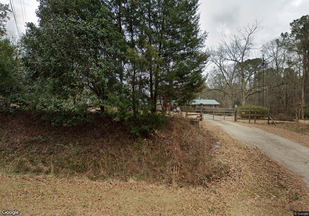
2011 Brownlee Rd Jackson, GA 30233
Estimated Value: $384,000 - $526,841
Studio
2
Baths
1,644
Sq Ft
$278/Sq Ft
Est. Value
About This Home
This home is located at 2011 Brownlee Rd, Jackson, GA 30233 and is currently estimated at $456,960, approximately $277 per square foot. 2011 Brownlee Rd is a home located in Butts County with nearby schools including Jackson High School.
Ownership History
Date
Name
Owned For
Owner Type
Purchase Details
Closed on
Jun 5, 2007
Sold by
Gardner Phelix M
Bought by
North Casey S
Current Estimated Value
Home Financials for this Owner
Home Financials are based on the most recent Mortgage that was taken out on this home.
Original Mortgage
$265,000
Outstanding Balance
$158,991
Interest Rate
6.1%
Mortgage Type
New Conventional
Estimated Equity
$297,969
Create a Home Valuation Report for This Property
The Home Valuation Report is an in-depth analysis detailing your home's value as well as a comparison with similar homes in the area
Home Values in the Area
Average Home Value in this Area
Purchase History
| Date | Buyer | Sale Price | Title Company |
|---|---|---|---|
| North Casey S | $265,000 | -- |
Source: Public Records
Mortgage History
| Date | Status | Borrower | Loan Amount |
|---|---|---|---|
| Open | North Casey S | $265,000 |
Source: Public Records
Tax History Compared to Growth
Tax History
| Year | Tax Paid | Tax Assessment Tax Assessment Total Assessment is a certain percentage of the fair market value that is determined by local assessors to be the total taxable value of land and additions on the property. | Land | Improvement |
|---|---|---|---|---|
| 2025 | $3,209 | $193,904 | $62,348 | $131,556 |
| 2024 | $3,209 | $193,904 | $62,348 | $131,556 |
| 2023 | $3,371 | $182,728 | $62,348 | $120,380 |
| 2022 | $3,578 | $133,879 | $47,960 | $85,919 |
| 2021 | $3,818 | $133,441 | $47,960 | $85,481 |
| 2020 | $3,466 | $116,895 | $47,960 | $68,935 |
| 2019 | $3,360 | $117,195 | $47,960 | $69,235 |
| 2018 | $2,978 | $99,870 | $47,960 | $51,910 |
| 2017 | $2,873 | $94,773 | $47,960 | $46,813 |
| 2016 | $1,541 | $94,773 | $47,960 | $46,813 |
| 2015 | $1,511 | $94,773 | $47,960 | $46,813 |
| 2014 | $1,515 | $91,868 | $47,960 | $43,908 |
Source: Public Records
Map
Nearby Homes
- 3528 Highway 42 S
- 738 Teagle Rd
- 1919 Highway 36 W
- 245 Brooks Rd
- 160 Aaron Ct
- 3036 High Falls Rd
- 0 Highway 42 S Unit 10520658
- Hemingway Plan at The Woodlands Preserve
- Mira II Plan at The Woodlands Preserve
- Walker Plan at The Woodlands Preserve
- Sinclair Plan at The Woodlands Preserve
- Adrian Plan at The Woodlands Preserve
- Avery Plan at The Woodlands Preserve
- Shiloh Plan at The Woodlands Preserve
- Harding Plan at The Woodlands Preserve
- 131 Post Oak Dr Unit 209
- 135 Post Oak Dr Unit 207
- 139 Post Oak Dr Unit 202
- 135 Post Oak Dr
- 139 Post Oak Dr
- 2007 Brownlee Rd
- 1988 Brownlee Rd
- 0 Mountain View Rd Unit 7259225
- 0 Mountain View Rd Unit M171594
- 0 Mountain View Rd Unit 10193268
- 170 Mountain View Rd
- 2108 Brownlee Rd
- 200 Mountain View Rd
- 1960 Brownlee Rd
- 1920 Brownlee Rd
- 2144 Brownlee Rd
- 230 Mountain View Rd
- 2150 Brownlee Rd
- 2151 Brownlee Rd
- 2161 Brownlee Rd Unit D
- 2161 Brownlee Rd
- 2161 Brownlee Rd Unit A
- 2161 Brownlee Rd Unit C
- 2156 Brownlee Rd
- 000 Brownlee Rd