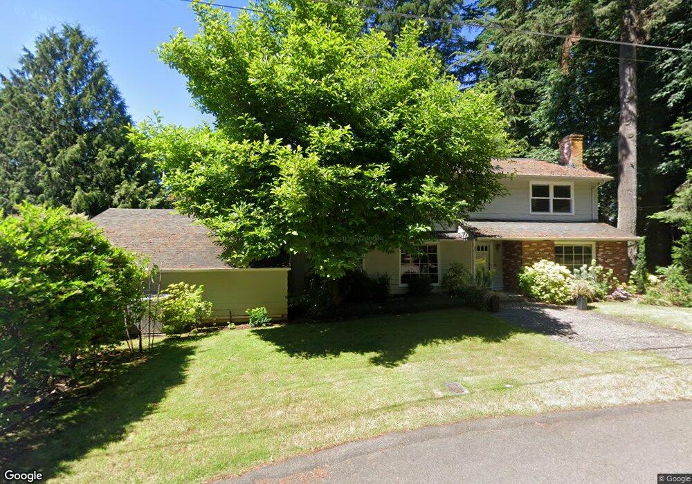
2011 Cedar Ct Lake Oswego, OR 97034
Palisades NeighborhoodEstimated Value: $908,000 - $1,902,000
4
Beds
3
Baths
3,008
Sq Ft
$404/Sq Ft
Est. Value
About This Home
This home is located at 2011 Cedar Ct, Lake Oswego, OR 97034 and is currently estimated at $1,215,522, approximately $404 per square foot. 2011 Cedar Ct is a home located in Clackamas County with nearby schools including Hallinan Elementary School, Lakeridge Middle School, and Lakeridge High School.
Ownership History
Date
Name
Owned For
Owner Type
Purchase Details
Closed on
Jun 18, 2016
Sold by
Shia Mark L and Shia Elisabeth E
Bought by
Shia Mark L and Shia Elisabeth E
Current Estimated Value
Purchase Details
Closed on
Jun 16, 2003
Sold by
Shia Mark L and Shia Elisabeth E
Bought by
Shia Mark L and Shia Elisabeth E
Home Financials for this Owner
Home Financials are based on the most recent Mortgage that was taken out on this home.
Original Mortgage
$190,000
Interest Rate
5.53%
Mortgage Type
Purchase Money Mortgage
Create a Home Valuation Report for This Property
The Home Valuation Report is an in-depth analysis detailing your home's value as well as a comparison with similar homes in the area
Home Values in the Area
Average Home Value in this Area
Purchase History
| Date | Buyer | Sale Price | Title Company |
|---|---|---|---|
| Shia Mark L | -- | None Available | |
| Shia Mark L | -- | Stewart Title |
Source: Public Records
Mortgage History
| Date | Status | Borrower | Loan Amount |
|---|---|---|---|
| Closed | Shia Mark L | $190,000 |
Source: Public Records
Tax History
| Year | Tax Paid | Tax Assessment Tax Assessment Total Assessment is a certain percentage of the fair market value that is determined by local assessors to be the total taxable value of land and additions on the property. | Land | Improvement |
|---|---|---|---|---|
| 2025 | $9,984 | $519,888 | -- | -- |
| 2024 | $9,718 | $504,746 | -- | -- |
| 2023 | $9,718 | $490,045 | $0 | $0 |
| 2022 | $9,152 | $475,772 | $0 | $0 |
| 2021 | $8,453 | $461,915 | $0 | $0 |
| 2020 | $8,241 | $448,462 | $0 | $0 |
| 2019 | $8,038 | $435,400 | $0 | $0 |
| 2018 | $7,644 | $422,718 | $0 | $0 |
| 2017 | $7,376 | $410,406 | $0 | $0 |
| 2016 | $6,715 | $398,452 | $0 | $0 |
Source: Public Records
Map
Nearby Homes
- 1847 Woodland Terrace
- 1721 Highland Dr
- 2815 Arrowhead Ct
- 2240 Summit Ct
- 2627 Park Rd
- 2764 Glen Haven Rd
- 1464 Greentree Cir
- 2164 Summit Dr
- 1471 Greentree Cir
- 1224 Tyndall Ct
- 17706 Treetop Way
- 1093 Tyndall Ct
- 1592 View Lake Ct
- 3012 Lakeview Blvd
- 16871 Greenbrier Rd
- 17035 Westview Dr
- 16840 Alder Cir
- 17920 Meadowlark Ln
- 17288 Blue Heron Rd
- 16181 Parelius Cir
- 2021 Cedar Ct
- 2031 Cedar Ct
- 2002 Cedar Ct
- 2025 Cedar Ct
- 1835 Cedar Ct
- 2041 Cedar Ct
- 2062 Cedar Ct
- 1900 Cedar Ct
- 1949 Cedar Ct
- 1825 Cedar Ct
- 1837 Cedar Ct
- 2555 S Shore Blvd
- 0 S Shore Blvd
- 16640 Fir Ln
- 1895 Cedar Ct
- 2050 Southshore Blvd
- 2050 S Shore Blvd
- 16672 Fir Ln
- 1931 Park Forest Ct
- 1931 Park Forestrelist
Your Personal Tour Guide
Ask me questions while you tour the home.