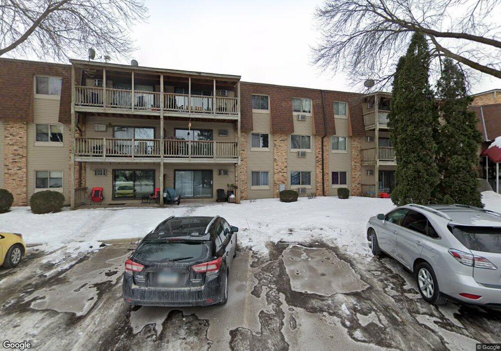
2011 E 122nd St Unit D16 Burnsville, MN 55337
Estimated Value: $111,814 - $166,000
2
Beds
2
Baths
1,010
Sq Ft
$125/Sq Ft
Est. Value
About This Home
This home is located at 2011 E 122nd St Unit D16, Burnsville, MN 55337 and is currently estimated at $126,454, approximately $125 per square foot. 2011 E 122nd St Unit D16 is a home located in Dakota County with nearby schools including William Byrne Elementary School, Burnsville High School, and Gateway STEM Academy.
Ownership History
Date
Name
Owned For
Owner Type
Purchase Details
Closed on
Jul 29, 2008
Sold by
Federal National Mortgage Association
Bought by
Lapage Jason
Current Estimated Value
Home Financials for this Owner
Home Financials are based on the most recent Mortgage that was taken out on this home.
Original Mortgage
$72,800
Interest Rate
6.5%
Mortgage Type
FHA
Purchase Details
Closed on
Sep 27, 2002
Sold by
Lindsey Deborah Ann and Lindsey Lambert Leonani
Bought by
Rawana Melissa
Purchase Details
Closed on
Jul 24, 1992
Sold by
Tcf
Bought by
Lindsey Deborah Ann and Lindsey Lamert L
Create a Home Valuation Report for This Property
The Home Valuation Report is an in-depth analysis detailing your home's value as well as a comparison with similar homes in the area
Home Values in the Area
Average Home Value in this Area
Purchase History
| Date | Buyer | Sale Price | Title Company |
|---|---|---|---|
| Lapage Jason | $74,000 | -- | |
| Rawana Melissa | $105,000 | -- | |
| Lindsey Deborah Ann | $32,000 | -- |
Source: Public Records
Mortgage History
| Date | Status | Borrower | Loan Amount |
|---|---|---|---|
| Previous Owner | Lapage Jason | $72,800 | |
| Closed | Lindsey Deborah Ann | -- |
Source: Public Records
Tax History
| Year | Tax Paid | Tax Assessment Tax Assessment Total Assessment is a certain percentage of the fair market value that is determined by local assessors to be the total taxable value of land and additions on the property. | Land | Improvement |
|---|---|---|---|---|
| 2024 | $1,092 | $122,700 | $12,000 | $110,700 |
| 2023 | $1,092 | $124,100 | $12,500 | $111,600 |
| 2022 | $914 | $121,400 | $12,200 | $109,200 |
| 2021 | $884 | $107,500 | $10,800 | $96,700 |
| 2020 | $806 | $100,800 | $10,200 | $90,600 |
| 2019 | $656 | $91,500 | $9,200 | $82,300 |
| 2018 | $637 | $77,100 | $7,800 | $69,300 |
| 2017 | $539 | $72,500 | $7,300 | $65,200 |
| 2016 | $527 | $61,300 | $6,200 | $55,100 |
| 2015 | $423 | $34,500 | $3,480 | $31,020 |
| 2014 | -- | $28,620 | $2,880 | $25,740 |
| 2013 | -- | $22,920 | $2,340 | $20,580 |
Source: Public Records
Map
Nearby Homes
- 2005 E 122nd St Unit A7
- 2005 E 122nd St Unit A14
- 2011 E 122nd St Unit D24
- 2007 E 122nd St Unit B15
- 12210 Oak Leaf Cir
- 12222 Oak Leaf Cir
- 12238 Oak Leaf Cir
- 2305 E 122nd St
- 2301 E 121st St
- 12209 24th Ave S
- 12265 17th Ave S
- 2400 E 125th St
- 1705 Riverwood Dr
- 2309 Horizon Rd
- 1651 Riverwood Dr Unit 115
- 2200 Horizon Rd
- 1800 Riverwood Dr Unit 318
- 1800 Riverwood Dr Unit 323
- 165 Birnamwood Dr
- 11900 Highland View Cir
- 2011 E 122nd St Unit D23
- 2011 E 122nd St Unit D22
- 2011 E 122nd St Unit D21
- 2011 E 122nd St Unit D20
- 2011 E 122nd St Unit D19
- 2011 E 122nd St Unit C18
- 2011 E 122nd St Unit D17
- 2011 E 122nd St Unit D15
- 2011 E 122nd St Unit D14
- 2011 E 122nd St Unit D13
- 2011 E 122nd St Unit D11
- 2011 E 122nd St Unit D10
- 2011 E 122nd St Unit D9
- 2011 E 122nd St Unit D8
- 2011 E 122nd St Unit D7
- 2011 E 122nd St Unit D6
- 2011 E 122nd St Unit D5
- 2011 E 122nd St Unit D3
- 2011 E 122nd St Unit D2
- 2011 E 122nd St Unit D1
Your Personal Tour Guide
Ask me questions while you tour the home.