Estimated Value: $202,000 - $215,000
4
Beds
2
Baths
1,793
Sq Ft
$116/Sq Ft
Est. Value
About This Home
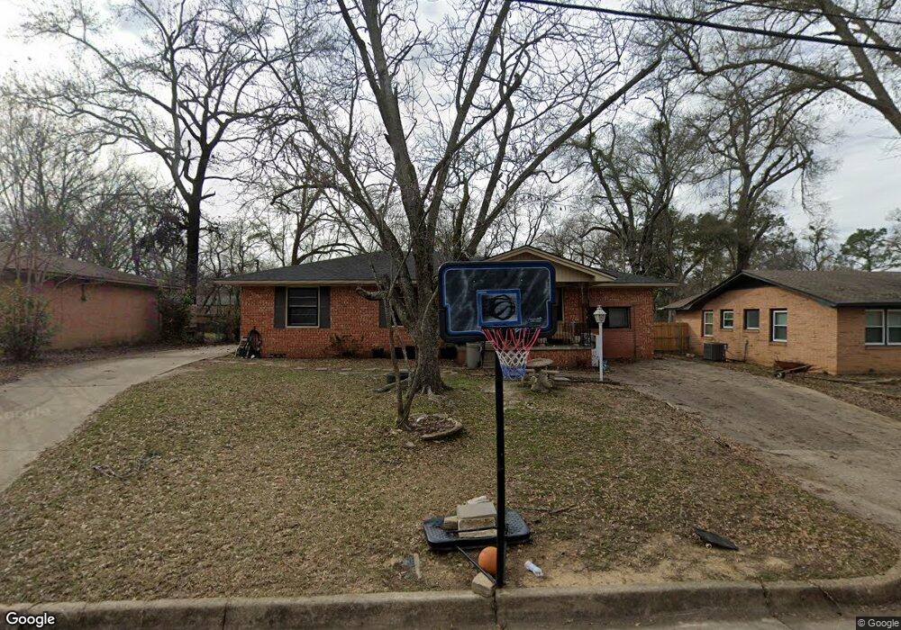
This home is located at 2011 Glenbrook Dr, Tyler, TX 75701 and is currently estimated at $207,433, approximately $115 per square foot. 2011 Glenbrook Dr is a home located in Smith County with nearby schools including Clarkston Elementary School, Hubbard Middle School, and Tyler Legacy High School.
Ownership History
Date
Name
Owned For
Owner Type
Purchase Details
Closed on
Nov 25, 2014
Sold by
Czurak Steven and Czurak Tracy
Bought by
Dupoint Llc
Current Estimated Value
Purchase Details
Closed on
Apr 27, 2005
Sold by
Pessink Brenda Jean and Pessink Bruce
Bought by
Czurak Steven and Czurak Tracy
Home Financials for this Owner
Home Financials are based on the most recent Mortgage that was taken out on this home.
Original Mortgage
$15,000
Interest Rate
6.03%
Mortgage Type
Stand Alone Second
Create a Home Valuation Report for This Property
The Home Valuation Report is an in-depth analysis detailing your home's value as well as a comparison with similar homes in the area
Purchase History
| Date | Buyer | Sale Price | Title Company |
|---|---|---|---|
| Dupoint Llc | -- | None Available | |
| Czurak Steven | -- | None Available |
Source: Public Records
Mortgage History
| Date | Status | Borrower | Loan Amount |
|---|---|---|---|
| Previous Owner | Czurak Steven | $15,000 | |
| Previous Owner | Czurak Steven | $60,000 |
Source: Public Records
Tax History
| Year | Tax Paid | Tax Assessment Tax Assessment Total Assessment is a certain percentage of the fair market value that is determined by local assessors to be the total taxable value of land and additions on the property. | Land | Improvement |
|---|---|---|---|---|
| 2025 | $2,665 | $156,627 | $30,626 | $126,001 |
| 2024 | $2,862 | $168,234 | $35,099 | $133,135 |
| 2023 | $2,595 | $148,863 | $35,099 | $113,764 |
| 2022 | $2,848 | $145,390 | $26,909 | $118,481 |
| 2021 | $1,866 | $88,954 | $10,638 | $78,316 |
| 2020 | $1,903 | $88,954 | $10,638 | $78,316 |
| 2019 | $1,923 | $87,924 | $10,638 | $77,286 |
| 2018 | $1,847 | $84,934 | $7,880 | $77,054 |
| 2017 | $1,941 | $90,905 | $7,880 | $83,025 |
| 2016 | $1,997 | $93,553 | $7,880 | $85,673 |
| 2015 | $2,352 | $93,787 | $7,880 | $85,907 |
| 2014 | $2,352 | $110,680 | $7,880 | $102,800 |
Source: Public Records
Map
Nearby Homes
- 2216 Pleasant Dr
- 2408 Hunter St
- 2811 Rollingwood Dr
- 2103 Crestwood Dr
- 2812 Meadowlark Ln
- 2110 Crestwood Dr
- 1920 McDonald Rd
- 2301 McDonald Rd
- 2304 Crestwood Dr
- 3000 Brookdale Dr
- 2927 Meadow Brook Trail
- 2909 Meadowlark Ln
- 2015 E 5th St
- 2922 Meadowlark Ln
- 1913 Parkway Place
- 2931 Meadow Brook Trail
- 2200 Airline Dr
- 2019 Woodhaven Dr
- 2308 Lingner Dr
- 2010 McDonald Rd
- 2011 2011 Glenbrook
- 2007 Glenbrook Dr
- 2017 Glenbrook Dr
- 2010 S Boldt Ave
- 2000 S Boldt Ave
- 2000 2000 Boldt
- 2010 2010 Boldt Ave
- 2010 2010 S Boldt Ave
- 2025 2025 Glenbrook
- 2025 Glenbrook Dr
- 2016 S Boldt Ave
- 2010 Glenbrook Dr
- 2016 2016 S Boldt Ave
- 2016 Glenbrook Dr
- 2006 Glenbrook Dr
- 2506 2506 Marilyn
- 2022 2022 Glenbrook
- 2002 Glenbrook Dr
- 2022 Glenbrook Dr
- 2101 2101 Glenbrook
Your Personal Tour Guide
Ask me questions while you tour the home.