Estimated Value: $356,000
7
Beds
2
Baths
2,764
Sq Ft
$129/Sq Ft
Est. Value
About This Home
This home is located at 2011 Gordon Rd NW, Dover, OH 44622 and is currently estimated at $356,000, approximately $128 per square foot. 2011 Gordon Rd NW is a home located in Tuscarawas County with nearby schools including Dover High School, Tuscarawas Central Catholic Elementary School, and Stony Point School.
Ownership History
Date
Name
Owned For
Owner Type
Purchase Details
Closed on
Jan 11, 2007
Sold by
Houston Robert S and Houston April
Bought by
Houston Robert S and Houston April
Current Estimated Value
Home Financials for this Owner
Home Financials are based on the most recent Mortgage that was taken out on this home.
Original Mortgage
$150,000
Outstanding Balance
$87,802
Interest Rate
6.21%
Mortgage Type
New Conventional
Estimated Equity
$268,198
Purchase Details
Closed on
Sep 8, 1987
Sold by
Grafe Alcide D and Grafe Helen L
Bought by
Houston Robert S & April
Create a Home Valuation Report for This Property
The Home Valuation Report is an in-depth analysis detailing your home's value as well as a comparison with similar homes in the area
Home Values in the Area
Average Home Value in this Area
Purchase History
| Date | Buyer | Sale Price | Title Company |
|---|---|---|---|
| Houston Robert S | -- | Tusc Title | |
| Houston Robert S & April | $40,000 | -- |
Source: Public Records
Mortgage History
| Date | Status | Borrower | Loan Amount |
|---|---|---|---|
| Open | Houston Robert S | $150,000 |
Source: Public Records
Tax History
| Year | Tax Paid | Tax Assessment Tax Assessment Total Assessment is a certain percentage of the fair market value that is determined by local assessors to be the total taxable value of land and additions on the property. | Land | Improvement |
|---|---|---|---|---|
| 2024 | $3,056 | $120,390 | $62,830 | $57,560 |
| 2023 | $3,056 | $343,960 | $179,500 | $164,460 |
| 2022 | $3,087 | $120,386 | $62,825 | $57,561 |
| 2021 | $2,911 | $101,931 | $51,667 | $50,264 |
| 2020 | $2,911 | $101,931 | $51,667 | $50,264 |
| 2019 | $2,934 | $101,931 | $51,667 | $50,264 |
| 2018 | $2,676 | $85,040 | $43,110 | $41,930 |
| 2017 | $2,676 | $85,040 | $43,110 | $41,930 |
| 2016 | $2,681 | $85,040 | $43,110 | $41,930 |
| 2014 | $2,477 | $81,520 | $43,090 | $38,430 |
| 2013 | $2,476 | $81,520 | $43,090 | $38,430 |
Source: Public Records
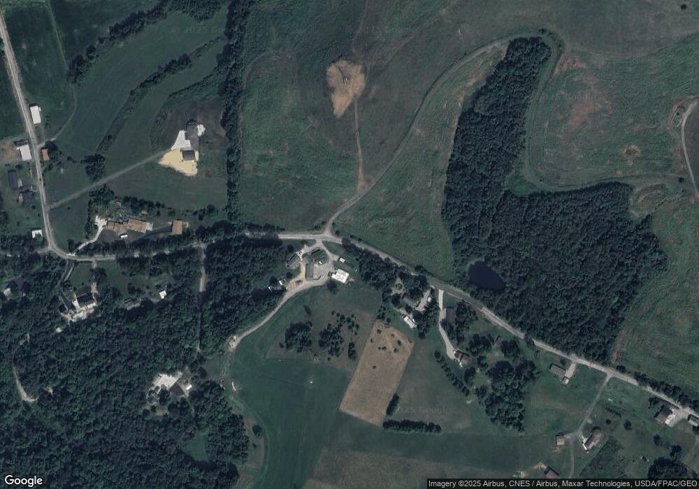
Map
Nearby Homes
- 3336 Broad Run Dairy Rd NW
- 4022 State Route 516 NW
- 4584 State Route 516 NW
- 4029 Minard Rd NW
- 3967 Crooked Run Rd NW
- 0 Swonger Rd Unit 5161457
- 0 Swonger Rd Unit 5161456
- 3156 Josephine St NW
- 1814 Saltwell Rd NW
- 1220 Chestnut St
- 0 Ohio Ave Unit 5188259
- 0 W Ohio Ave
- 107 W 21st St
- 334 W 4th St
- 3030 N Wooster Ave
- 715 N Walnut St
- 1202 N Wooster Ave
- 201 E 12th St
- 3265 Yorkview Rd SW
- 2815 Race St
- 2020 Gordon Rd NW
- 2117 Gordon Rd NW
- 2136 Gordon Rd NW
- 1935 Gordon Rd NW
- 1894 Gordon Rd NW
- 1844 Gordon Rd NW
- 2165 Gordon Rd NW
- 2140 Gordon Rd NW
- 4901 Old Route 39 NW
- 4885 Old Route 39 NW
- 1883 Gordon Rd NW
- 1851 Gordon Rd NW
- 2183 Gordon Rd NW
- 4653 Old Route 39 NW
- 1849 Gordon Rd NW
- 4647 Old Route 39 NW
- 4815 Old Route 39 NW
- 4869 Old Route 39 NW
- 2228 Gordon Rd NW
- 4815 Old Route 39 NW
Your Personal Tour Guide
Ask me questions while you tour the home.