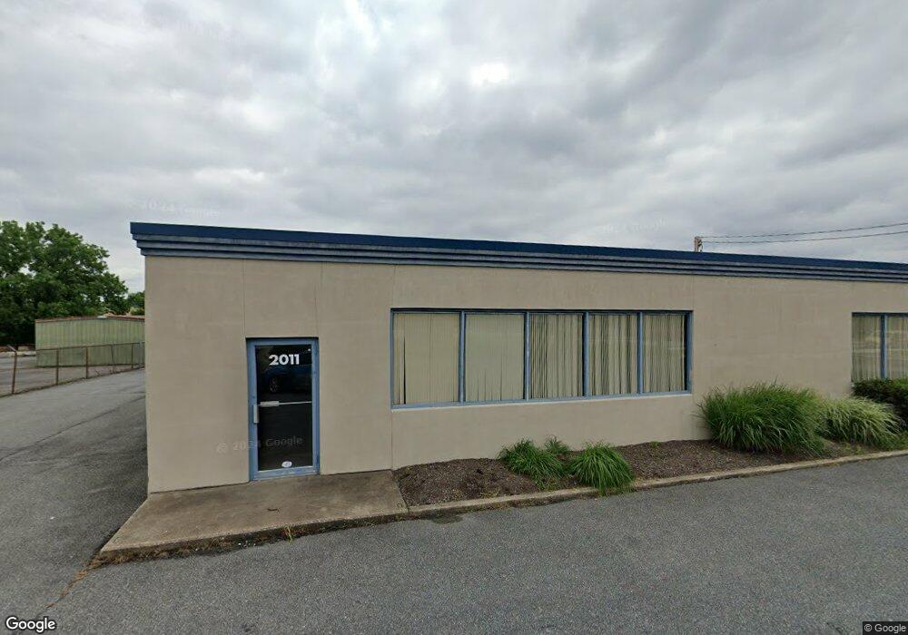
2011 Greenspring Dr Timonium, MD 21093
Estimated Value: $2,997,066
--
Bed
--
Bath
12,740
Sq Ft
$235/Sq Ft
Est. Value
About This Home
This home is located at 2011 Greenspring Dr, Timonium, MD 21093 and is currently estimated at $2,997,066, approximately $235 per square foot. 2011 Greenspring Dr is a home located in Baltimore County with nearby schools including Lutherville Laboratory, Ridgely Middle, and Towson High Law & Public Policy.
Ownership History
Date
Name
Owned For
Owner Type
Purchase Details
Closed on
Jun 20, 2024
Sold by
Wiser Llc
Bought by
Gwynn Junction Llc
Current Estimated Value
Purchase Details
Closed on
Mar 22, 2000
Sold by
Paddington L L C
Bought by
Wiser Llc
Purchase Details
Closed on
Jan 18, 1995
Sold by
Cuddeback Carol S
Bought by
Paddington L L C
Home Financials for this Owner
Home Financials are based on the most recent Mortgage that was taken out on this home.
Original Mortgage
$584,000
Interest Rate
9.16%
Mortgage Type
Commercial
Create a Home Valuation Report for This Property
The Home Valuation Report is an in-depth analysis detailing your home's value as well as a comparison with similar homes in the area
Home Values in the Area
Average Home Value in this Area
Purchase History
| Date | Buyer | Sale Price | Title Company |
|---|---|---|---|
| Gwynn Junction Llc | $2,900,000 | Fidelity National Title | |
| Gwynn Junction Llc | $2,900,000 | Fidelity National Title | |
| Wiser Llc | $930,000 | -- | |
| Paddington L L C | $575,000 | -- |
Source: Public Records
Mortgage History
| Date | Status | Borrower | Loan Amount |
|---|---|---|---|
| Previous Owner | Paddington L L C | $584,000 |
Source: Public Records
Tax History Compared to Growth
Tax History
| Year | Tax Paid | Tax Assessment Tax Assessment Total Assessment is a certain percentage of the fair market value that is determined by local assessors to be the total taxable value of land and additions on the property. | Land | Improvement |
|---|---|---|---|---|
| 2025 | $23,198 | $1,895,100 | $750,700 | $1,144,400 |
| 2024 | $23,198 | $1,840,233 | $0 | $0 |
| 2023 | $11,297 | $1,785,367 | $0 | $0 |
| 2022 | $21,699 | $1,730,500 | $750,700 | $979,800 |
| 2021 | $20,770 | $1,687,933 | $0 | $0 |
| 2020 | $20,770 | $1,645,367 | $0 | $0 |
| 2019 | $20,206 | $1,602,800 | $750,700 | $852,100 |
| 2018 | $20,163 | $1,602,800 | $750,700 | $852,100 |
| 2017 | $20,068 | $1,602,800 | $0 | $0 |
| 2016 | $18,773 | $1,608,800 | $0 | $0 |
| 2015 | $18,773 | $1,577,800 | $0 | $0 |
| 2014 | $18,773 | $1,546,700 | $0 | $0 |
Source: Public Records
Map
Nearby Homes
- 14 Evans Ave
- 21 Oakway Rd
- 220 W Timonium Rd
- 903 Morris Ave
- 260 Hunters Ridge Rd
- 264 Hunters Ridge Rd
- 225 Quaker Ridge Rd
- 233 W Timonium Rd
- 27 Edgemoor Rd
- 74 Northwood Dr
- 8634 Springvale Dr
- 116 Greenmeadow Dr
- 1607 Greenspring Dr
- 2201 Westridge Rd
- 116 Gorsuch Rd
- 5 Bedwell Ct
- 308 Morris Ave
- 141 Hollow Brook Rd
- 2108 Eastridge Rd
- 28 Abbey Bridge Ct
- 2021 Greenspring Dr
- 2015 Greenspring Dr
- 1967 Greenspring Dr
- 1965 Greenspring Dr
- 2026 Greenspring Dr
- 2025 Greenspring Dr
- 2032 Greenspring Dr
- 1957 Greenspring Dr
- 1955 Greenspring Dr
- 1966 Greenspring Dr
- 2001 Greenspring Dr
- 0 Greenspring Dr
- 21 W Aylesbury Rd
- 2033 Greenspring Dr
- 15 W Aylesbury Rd
- 1953 Greenspring Dr
- 2034 Greenspring Dr
- 2004 Greenspring Dr
- 1947 Greenspring Dr
- 1941 Greenspring Dr