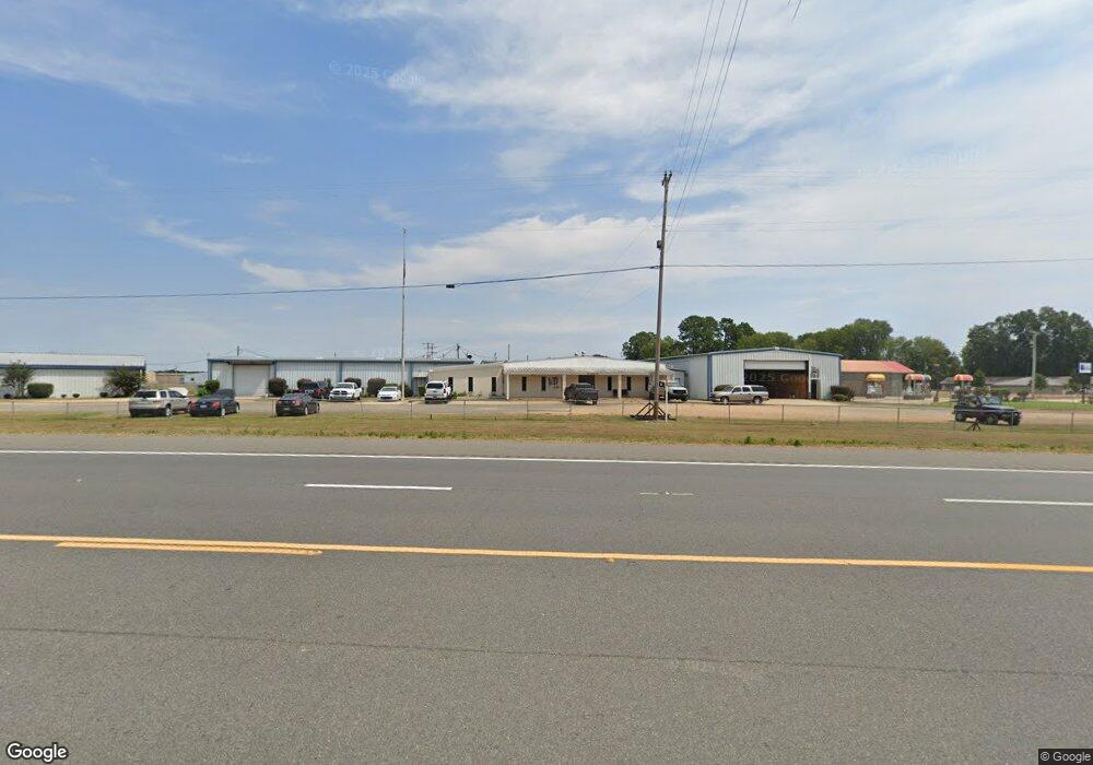
2011 Highway 79 N Camden, AR 71701
Estimated Value: $362,090
Studio
--
Bath
24,360
Sq Ft
$15/Sq Ft
Est. Value
About This Home
This home is located at 2011 Highway 79 N, Camden, AR 71701 and is currently priced at $362,090, approximately $14 per square foot. 2011 Highway 79 N is a home located in Ouachita County with nearby schools including Harmony Grove Elementary School, Sparkman Elementary School, and Sparkman K-12 School.
Ownership History
Date
Name
Owned For
Owner Type
Purchase Details
Closed on
Dec 21, 2023
Sold by
Darrell Walker And Susan Walker Living T
Bought by
Shine Shop Inc
Current Estimated Value
Home Financials for this Owner
Home Financials are based on the most recent Mortgage that was taken out on this home.
Original Mortgage
$446,000
Outstanding Balance
$172,610
Interest Rate
7.44%
Mortgage Type
New Conventional
Purchase Details
Closed on
Oct 16, 2000
Bought by
Walker Darrell and Walker Susan
Purchase Details
Closed on
Oct 14, 1997
Bought by
Med Properties Inc
Purchase Details
Closed on
Nov 20, 1995
Bought by
Snyder Jimmy & Frances Trust Agr
Create a Home Valuation Report for This Property
The Home Valuation Report is an in-depth analysis detailing your home's value as well as a comparison with similar homes in the area
Purchase History
| Date | Buyer | Sale Price | Title Company |
|---|---|---|---|
| Shine Shop Inc | $360,000 | First American Title | |
| Walker Darrell | $120,000 | -- | |
| Med Properties Inc | -- | -- | |
| Snyder Jimmy & Frances Trust Agr | -- | -- |
Source: Public Records
Mortgage History
| Date | Status | Borrower | Loan Amount |
|---|---|---|---|
| Open | Shine Shop Inc | $446,000 |
Source: Public Records
Tax History
| Year | Tax Paid | Tax Assessment Tax Assessment Total Assessment is a certain percentage of the fair market value that is determined by local assessors to be the total taxable value of land and additions on the property. | Land | Improvement |
|---|---|---|---|---|
| 2025 | $6,996 | $195,430 | $4,870 | $190,560 |
| 2024 | $6,360 | $117,350 | $4,470 | $112,880 |
| 2023 | $6,618 | $122,110 | $4,470 | $117,640 |
| 2022 | $6,618 | $122,110 | $4,470 | $117,640 |
| 2021 | $6,618 | $122,110 | $4,470 | $117,640 |
| 2020 | $6,618 | $145,030 | $1,200 | $143,830 |
| 2019 | $7,861 | $145,030 | $1,200 | $143,830 |
| 2018 | $7,861 | $145,030 | $1,200 | $143,830 |
| 2017 | $7,861 | $145,030 | $1,200 | $143,830 |
| 2016 | $7,861 | $145,030 | $1,200 | $143,830 |
| 2015 | $6,721 | $145,030 | $1,200 | $143,830 |
| 2014 | $6,110 | $125,725 | $1,200 | $124,525 |
Source: Public Records
Map
Nearby Homes
- 127 Highway 278b E
- 2020 Highway 79 N
- 133 Highway 278 E
- 139 Highway 278b E
- 2517 Highway 79 N
- 2104 Highway 79 N
- 2088 Highway 79 N
- 125 U S 278
- 2115 Highway 79 N
- 2108 Highway 79 N
- 175 Highway 278 E
- 181 Highway 278 E
- 181 Highway 278 E Unit A
- 2112 Highway 79 N
- 2124 Highway 79 N
- 2136 Highway 79 N
- 701 Ouachita 44
- 126 Ouachita 45
- 111 Ouachita 286
- 235 Highway 278 E
Your Personal Tour Guide
Ask me questions while you tour the home.