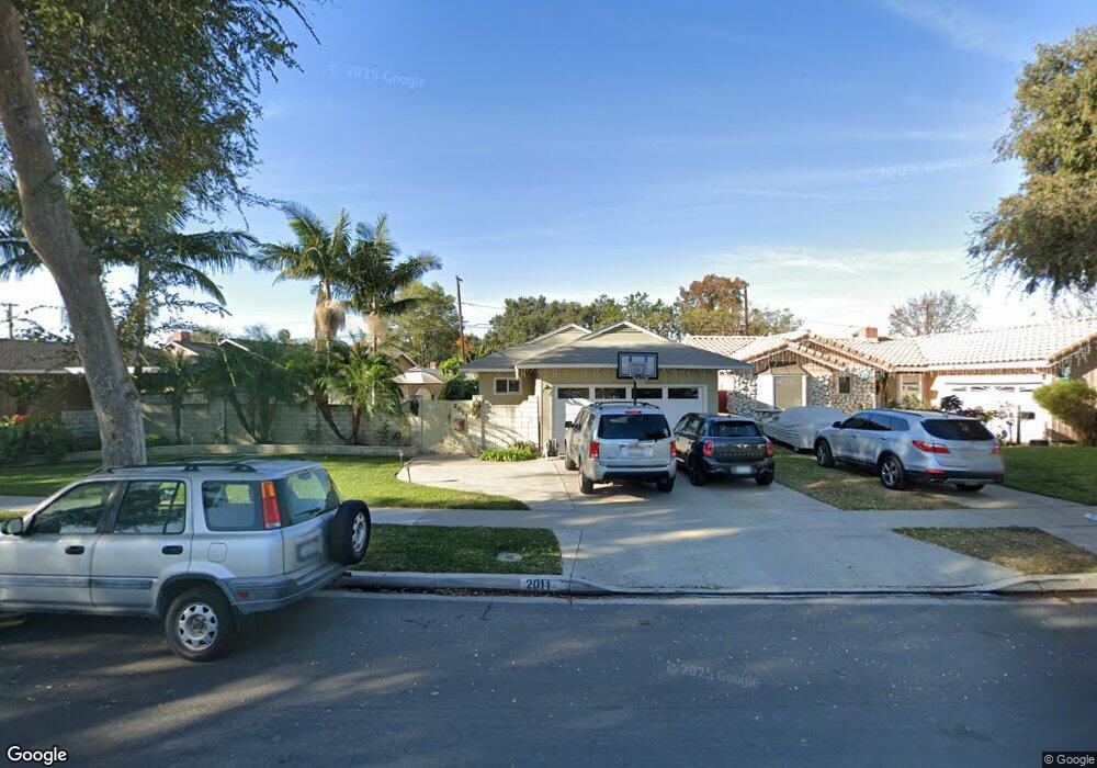
2011 Josie Ave Long Beach, CA 90815
Los Altos South NeighborhoodEstimated Value: $1,044,234 - $1,217,000
4
Beds
2
Baths
1,353
Sq Ft
$822/Sq Ft
Est. Value
About This Home
This home is located at 2011 Josie Ave, Long Beach, CA 90815 and is currently estimated at $1,112,059, approximately $821 per square foot. 2011 Josie Ave is a home located in Los Angeles County with nearby schools including Tincher Preparatory School, Woodrow Wilson High School, and Los Altos Grace Schools.
Ownership History
Date
Name
Owned For
Owner Type
Purchase Details
Closed on
Jun 1, 2000
Sold by
Wood Daniel
Bought by
Pachal Tom and Pachal Beth
Current Estimated Value
Home Financials for this Owner
Home Financials are based on the most recent Mortgage that was taken out on this home.
Original Mortgage
$224,000
Outstanding Balance
$80,824
Interest Rate
8.55%
Estimated Equity
$1,031,235
Create a Home Valuation Report for This Property
The Home Valuation Report is an in-depth analysis detailing your home's value as well as a comparison with similar homes in the area
Home Values in the Area
Average Home Value in this Area
Purchase History
| Date | Buyer | Sale Price | Title Company |
|---|---|---|---|
| Pachal Tom | $280,000 | Southland Title Corporation |
Source: Public Records
Mortgage History
| Date | Status | Borrower | Loan Amount |
|---|---|---|---|
| Open | Pachal Tom | $224,000 |
Source: Public Records
Tax History
| Year | Tax Paid | Tax Assessment Tax Assessment Total Assessment is a certain percentage of the fair market value that is determined by local assessors to be the total taxable value of land and additions on the property. | Land | Improvement |
|---|---|---|---|---|
| 2025 | $5,479 | $421,892 | $337,523 | $84,369 |
| 2024 | $5,479 | $413,620 | $330,905 | $82,715 |
| 2023 | $5,393 | $405,511 | $324,417 | $81,094 |
| 2022 | $5,071 | $397,560 | $318,056 | $79,504 |
| 2021 | $4,973 | $389,766 | $311,820 | $77,946 |
| 2019 | $4,899 | $378,207 | $302,572 | $75,635 |
| 2018 | $4,699 | $370,792 | $296,640 | $74,152 |
| 2016 | $4,317 | $356,396 | $285,122 | $71,274 |
| 2015 | $4,144 | $351,044 | $280,840 | $70,204 |
| 2014 | $4,116 | $344,168 | $275,339 | $68,829 |
Source: Public Records
Map
Nearby Homes
- 2050 Josie Ave
- 1881 Hackett Ave
- 1821 Ostrom Ave
- 6200 E Fairbrook St
- 1837 N Studebaker Rd
- 2334 Iroquois Ave
- 2154 N Studebaker Rd
- 6915 E Stearns St
- 1875 Mcnab Ave
- 2154 Lees Ave
- 6976 E El Cedral St
- 2280 Gondar Ave
- 6841 E Bacarro St
- 2024 Shipway Ave
- 1030 Palo Verde Ave
- 1840 Lave Ave
- 1016 Palo Verde Ave
- 6911 E 10th St
- 2660 Gondar Ave
- 2715 Petaluma Ave
- 2001 Josie Ave
- 2021 Josie Ave
- 2031 Josie Ave
- 2000 Iroquois Ave
- 1981 Josie Ave
- 2010 Iroquois Ave
- 1980 Iroquois Ave
- 2010 Josie Ave
- 2020 Josie Ave
- 2000 Josie Ave
- 1971 Josie Ave
- 2030 Josie Ave
- 2040 Josie Ave
- 1980 Josie Ave
- 1970 Iroquois Ave
- 6466 E Bayard St
- 1961 Josie Ave
- 1970 Josie Ave
- 6457 E Madera St
- 1960 Iroquois Ave
Your Personal Tour Guide
Ask me questions while you tour the home.