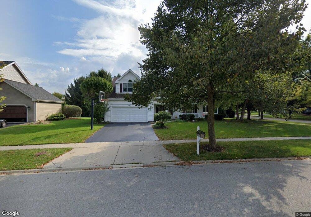
2011 Kittridge Dr West Dundee, IL 60118
Estimated Value: $435,058 - $504,000
4
Beds
--
Bath
2,683
Sq Ft
$180/Sq Ft
Est. Value
About This Home
This home is located at 2011 Kittridge Dr, West Dundee, IL 60118 and is currently estimated at $482,515, approximately $179 per square foot. 2011 Kittridge Dr is a home located in Kane County with nearby schools including Dundee Highlands Elementary School, Dundee Middle School, and West Prairie Middle School.
Ownership History
Date
Name
Owned For
Owner Type
Purchase Details
Closed on
Jan 9, 2000
Sold by
Calestini Gregg M and Calestini Angela G
Bought by
Pennel Paul E and Pennel Janet M
Current Estimated Value
Home Financials for this Owner
Home Financials are based on the most recent Mortgage that was taken out on this home.
Original Mortgage
$235,900
Interest Rate
7.6%
Create a Home Valuation Report for This Property
The Home Valuation Report is an in-depth analysis detailing your home's value as well as a comparison with similar homes in the area
Home Values in the Area
Average Home Value in this Area
Purchase History
| Date | Buyer | Sale Price | Title Company |
|---|---|---|---|
| Pennel Paul E | $262,500 | First American Title |
Source: Public Records
Mortgage History
| Date | Status | Borrower | Loan Amount |
|---|---|---|---|
| Previous Owner | Pennel Paul E | $235,900 |
Source: Public Records
Tax History Compared to Growth
Tax History
| Year | Tax Paid | Tax Assessment Tax Assessment Total Assessment is a certain percentage of the fair market value that is determined by local assessors to be the total taxable value of land and additions on the property. | Land | Improvement |
|---|---|---|---|---|
| 2024 | $10,186 | $132,963 | $26,492 | $106,471 |
| 2023 | $9,553 | $119,636 | $23,837 | $95,799 |
| 2022 | $9,384 | $112,514 | $23,837 | $88,677 |
| 2021 | $9,057 | $106,236 | $22,507 | $83,729 |
| 2020 | $8,891 | $103,848 | $22,001 | $81,847 |
| 2019 | $8,606 | $98,584 | $20,886 | $77,698 |
| 2018 | $9,045 | $100,843 | $20,472 | $80,371 |
| 2017 | $8,416 | $94,334 | $19,151 | $75,183 |
| 2016 | $8,835 | $93,819 | $23,811 | $70,008 |
| 2015 | -- | $87,912 | $22,312 | $65,600 |
| 2014 | -- | $85,484 | $21,696 | $63,788 |
| 2013 | -- | $86,226 | $22,360 | $63,866 |
Source: Public Records
Map
Nearby Homes
- 812 Lindsay Ln
- 822 Lindsay Ln
- 814 Lindsay Ln
- 816 Lindsay Ln
- 813 Lindsay Ln
- 825 Lindsay Ln
- 818 Lindsay Ln
- Marianne Plan at Hickory Glen
- Charlotte Plan at Hickory Glen
- 1023 Shagbark Ln
- 1031 Shagbark Ln
- 1715 W Main St
- 1601 Higgins Rd
- 215 Sharon Dr
- 325 Sharon Dr
- 104 Thorobred Ln
- 1 S Lincoln Ave
- 17N448 Il Route 31
- 2742 Connolly Ln
- 36W461 Binnie Rd
- 2005 Kittridge Dr
- 904 Pember Cir
- 901 Pember Cir
- 2001 Kittridge Dr
- 2016 Kittridge Dr
- 912 Pember Cir
- 2008 Kittridge Dr Unit 2
- 2006 Spaulding Ave
- 2028 Kittridge Dr Unit 2
- 2000 Spaulding Ave Unit 2
- 2014 Spaulding Ave
- 913 Pember Cir Unit 2
- 2002 Kittridge Dr
- 2034 Kittridge Dr
- 918 Pember Cir Unit 2
- 2024 Spaulding Ave
- 1013 Brewer Ct
- 1017 Tristram Ct
- 2027 Waterbury Ct Unit 2
- 1003 Brewer Ct