Estimated Value: $565,000 - $611,000
--
Bed
--
Bath
1,456
Sq Ft
$408/Sq Ft
Est. Value
About This Home
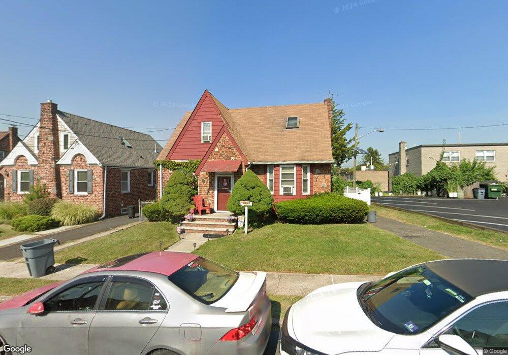
This home is located at 2011 Lentz Ave, Union, NJ 07083 and is currently estimated at $594,435, approximately $408 per square foot. 2011 Lentz Ave is a home located in Union County with nearby schools including Franklin Elementary School, Burnet Middle School, and Union High School.
Ownership History
Date
Name
Owned For
Owner Type
Purchase Details
Closed on
May 31, 2020
Sold by
Barletti James D
Bought by
Barletti James D and Diorio Lisa M
Current Estimated Value
Purchase Details
Closed on
May 22, 2009
Sold by
Diorio James and Diorio Lisa M
Bought by
Barletti James D
Home Financials for this Owner
Home Financials are based on the most recent Mortgage that was taken out on this home.
Original Mortgage
$299,475
Outstanding Balance
$189,419
Interest Rate
4.87%
Mortgage Type
FHA
Estimated Equity
$405,016
Purchase Details
Closed on
Jan 13, 2009
Sold by
Diorio James and Diorio Mary Anne
Bought by
Diorio James A and Diorio Lisa M
Create a Home Valuation Report for This Property
The Home Valuation Report is an in-depth analysis detailing your home's value as well as a comparison with similar homes in the area
Home Values in the Area
Average Home Value in this Area
Purchase History
| Date | Buyer | Sale Price | Title Company |
|---|---|---|---|
| Barletti James D | -- | None Available | |
| Barletti James D | $305,000 | None Available | |
| Diorio James A | -- | None Available |
Source: Public Records
Mortgage History
| Date | Status | Borrower | Loan Amount |
|---|---|---|---|
| Open | Barletti James D | $299,475 |
Source: Public Records
Tax History Compared to Growth
Tax History
| Year | Tax Paid | Tax Assessment Tax Assessment Total Assessment is a certain percentage of the fair market value that is determined by local assessors to be the total taxable value of land and additions on the property. | Land | Improvement |
|---|---|---|---|---|
| 2025 | $8,829 | $39,500 | $18,400 | $21,100 |
| 2024 | $8,559 | $39,500 | $18,400 | $21,100 |
| 2023 | $8,559 | $39,500 | $18,400 | $21,100 |
| 2022 | $8,262 | $39,500 | $18,400 | $21,100 |
| 2021 | $8,062 | $39,500 | $18,400 | $21,100 |
| 2020 | $7,901 | $39,500 | $18,400 | $21,100 |
| 2019 | $7,795 | $39,500 | $18,400 | $21,100 |
| 2018 | $7,662 | $39,500 | $18,400 | $21,100 |
| 2017 | $7,548 | $39,500 | $18,400 | $21,100 |
| 2016 | $7,364 | $39,500 | $18,400 | $21,100 |
| 2015 | $6,992 | $39,500 | $18,400 | $21,100 |
| 2014 | $6,830 | $39,500 | $18,400 | $21,100 |
Source: Public Records
Map
Nearby Homes
- 2021 Tyler St
- 2010 Gless Ave
- 1287 Oxford Ln
- 1871 Pilgrim Way
- 1249 Plane St
- 2144 Tyler St
- 2112 Gless Ave
- 1244 Grandview Ave
- 1263 Coolidge Ave
- 1396 Orange Ave
- 1893 Arbor Ln
- 1239 Victor Ave
- 1231 Glenn Ave
- 1084 Pine Ave
- 1265 Shetland Dr
- 1848 Portsmouth Way
- 152 Glenwood Ct
- 2220 Morrison Ave
- 2225 Stecher Ave
- 1035 Pine Ave
- 2015 Lentz Ave
- 2019 Lentz Ave
- 2008 Kay Ave
- 1300 Stuyvesant Ave
- 1292 Stuyvesant Ave
- 2010 Kay Ave
- 2021 Lentz Ave
- 2012 Kay Ave
- 2012 Lentz Ave
- 2008 Lentz Ave
- 2016 Kay Ave
- 2014 Lentz Ave
- 1286 Stuyvesant Ave Unit 1286
- 2025 Lentz Ave
- 2018 Kay Ave
- 2018 Lentz Ave
- 2029 Lentz Ave
- 2020 Kay Ave
- 2020 Lentz Ave
- 1299 Stuyvesant Ave