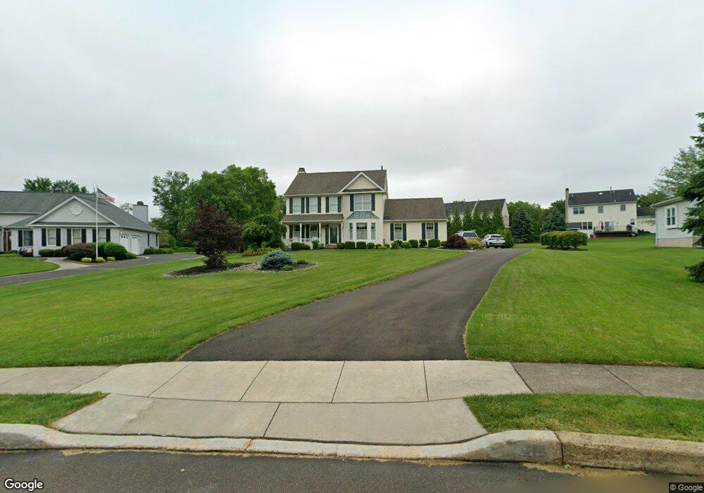
2011 Mulberry Ln Warrington, PA 18976
Estimated Value: $702,000 - $841,000
4
Beds
3
Baths
2,397
Sq Ft
$327/Sq Ft
Est. Value
About This Home
This home is located at 2011 Mulberry Ln, Warrington, PA 18976 and is currently estimated at $783,642, approximately $326 per square foot. 2011 Mulberry Ln is a home located in Bucks County with nearby schools including Barclay Elementary School, Tamanend Middle School, and Central Bucks High School - South.
Ownership History
Date
Name
Owned For
Owner Type
Purchase Details
Closed on
Nov 29, 1991
Sold by
Robinwood Farm Inc
Bought by
Coyne Michael A and Coyne Elizabeth D
Current Estimated Value
Create a Home Valuation Report for This Property
The Home Valuation Report is an in-depth analysis detailing your home's value as well as a comparison with similar homes in the area
Home Values in the Area
Average Home Value in this Area
Purchase History
| Date | Buyer | Sale Price | Title Company |
|---|---|---|---|
| Coyne Michael A | $195,400 | -- |
Source: Public Records
Tax History Compared to Growth
Tax History
| Year | Tax Paid | Tax Assessment Tax Assessment Total Assessment is a certain percentage of the fair market value that is determined by local assessors to be the total taxable value of land and additions on the property. | Land | Improvement |
|---|---|---|---|---|
| 2025 | $7,443 | $43,600 | $12,360 | $31,240 |
| 2024 | $7,443 | $42,760 | $12,360 | $30,400 |
| 2023 | $7,207 | $42,760 | $12,360 | $30,400 |
| 2022 | $7,126 | $42,760 | $12,360 | $30,400 |
| 2021 | $7,047 | $42,760 | $12,360 | $30,400 |
| 2020 | $7,047 | $42,760 | $12,360 | $30,400 |
| 2019 | $7,004 | $42,760 | $12,360 | $30,400 |
| 2018 | $7,004 | $42,760 | $12,360 | $30,400 |
| 2017 | $6,951 | $42,760 | $12,360 | $30,400 |
| 2016 | $6,951 | $42,760 | $12,360 | $30,400 |
| 2015 | -- | $42,760 | $12,360 | $30,400 |
| 2014 | -- | $42,760 | $12,360 | $30,400 |
Source: Public Records
Map
Nearby Homes
- 1656 S Ash Cir
- 1447 Bentley Dr
- 2226 Orchard Hill Cir
- 2158 Green Ridge Dr
- 1402 Valley View
- 1877 Brook Ln
- 1917 Brook Ln
- Kingswood Plan at Breton Hill
- Mayweather Plan at Breton Hill
- Cloverfield Plan at Breton Hill
- Raintree Plan at Breton Hill
- Rollins Plan at Breton Hill
- 0 W Bristol Rd
- 2234 Evin Dr
- 2302 MacIs Cir
- 110 Zircon Ct Unit 14
- 1620 Rockcress Dr
- 1618 Mayfield Cir
- 2018 Buckingham Dr
- 1105 Madison Cir
- 1991 Mulberry Ln
- 2021 Mulberry Ln
- 2012 Cedar Dr
- 2010 Cedar Dr
- 2014 Cedar Dr
- 1981 Mulberry Ln
- 2031 Mulberry Ln
- 2016 Cedar Dr
- 2012 Mulberry Ln
- 2008 Cedar Dr
- 1508 Huntly Dr
- 1510 Huntly Dr
- 1970 Mulberry Ln
- 1506 Huntly Dr
- 2041 Mulberry Ln
- 2011 Cedar Dr
- 2018 Cedar Dr
- 1971 Mulberry Ln
- 1979 Robinwood Dr
- 2006 Cedar Dr