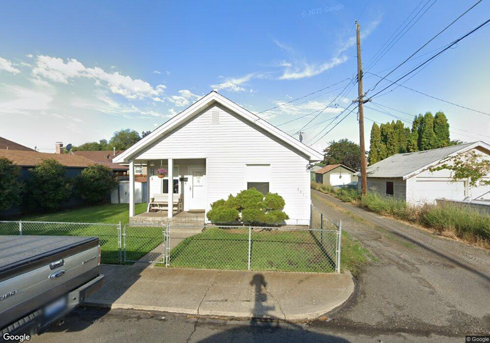
2011 N Cannon St Spokane, WA 99205
Emerson Garfield NeighborhoodEstimated Value: $183,000 - $245,000
2
Beds
1
Bath
714
Sq Ft
$295/Sq Ft
Est. Value
About This Home
This home is located at 2011 N Cannon St, Spokane, WA 99205 and is currently estimated at $210,543, approximately $294 per square foot. 2011 N Cannon St is a home located in Spokane County with nearby schools including Audubon Elementary School, North Central High School, and Glover Middle School.
Ownership History
Date
Name
Owned For
Owner Type
Purchase Details
Closed on
Jun 24, 1999
Sold by
Thomas George T
Bought by
Deuser Jerry H and Deuser Teresa J
Current Estimated Value
Home Financials for this Owner
Home Financials are based on the most recent Mortgage that was taken out on this home.
Original Mortgage
$42,300
Outstanding Balance
$11,294
Interest Rate
7.2%
Mortgage Type
Purchase Money Mortgage
Estimated Equity
$199,249
Create a Home Valuation Report for This Property
The Home Valuation Report is an in-depth analysis detailing your home's value as well as a comparison with similar homes in the area
Home Values in the Area
Average Home Value in this Area
Purchase History
| Date | Buyer | Sale Price | Title Company |
|---|---|---|---|
| Deuser Jerry H | $42,300 | First American Title Ins |
Source: Public Records
Mortgage History
| Date | Status | Borrower | Loan Amount |
|---|---|---|---|
| Open | Deuser Jerry H | $42,300 |
Source: Public Records
Tax History Compared to Growth
Tax History
| Year | Tax Paid | Tax Assessment Tax Assessment Total Assessment is a certain percentage of the fair market value that is determined by local assessors to be the total taxable value of land and additions on the property. | Land | Improvement |
|---|---|---|---|---|
| 2025 | $12 | $170,300 | $54,000 | $116,300 |
| 2024 | $12 | $169,100 | $49,500 | $119,600 |
| 2023 | $12 | $174,400 | $45,000 | $129,400 |
| 2022 | $12 | $169,900 | $36,000 | $133,900 |
| 2021 | $12 | $94,700 | $16,200 | $78,500 |
| 2020 | $12 | $86,850 | $14,850 | $72,000 |
| 2019 | $7 | $78,450 | $13,050 | $65,400 |
| 2018 | $7 | $71,500 | $11,700 | $59,800 |
| 2017 | $7 | $58,300 | $11,700 | $46,600 |
| 2016 | $7 | $54,500 | $11,700 | $42,800 |
| 2015 | $60 | $56,700 | $11,700 | $45,000 |
| 2014 | -- | $57,800 | $11,700 | $46,100 |
| 2013 | -- | $0 | $0 | $0 |
Source: Public Records
Map
Nearby Homes
- 2010 W Indiana Ave
- 2015 W Mansfield Ave
- 2118 N Hemlock St
- 2015 W Nora Ave
- 2017 W Nora Ave
- 1723 W Shannon Ave
- 2013 W Nora Ave
- 2013 W Nora Ave Unit 2015 & 2017
- 1812 W Nora Ave
- 2009 W Carlisle Ave
- 1716 N Pettet Dr Unit 2
- 1707 W Mansfield Ave
- 1708 W Mansfield Ave
- 1808 W Augusta Ave
- 1747 N West Point Rd
- 1804 W Augusta Ave
- 1728 W Spofford Ave
- 1727 W Spofford Ave
- 1529 W Nora Ave
- 1609 W Augusta Ave
- 2004 W Shannon Ave
- 2008 W Shannon Ave
- 2003 W Knox Ave
- 2014 W Shannon Ave
- 2010 N Cannon St
- 2007 W Knox Ave
- 2010 N N Cannon St
- 1928 W Shannon Ave
- 2015 W Knox Ave
- 2016 N Cannon St
- 2018 W Shannon Ave
- 1924 W Shannon Ave
- 2019 W Knox Ave
- 1923 W Knox Ave
- 2024 W Shannon Ave
- 1918 W Shannon Ave
- 2023 W Knox Ave
- 2003 W Shannon Ave
- 2007 W Shannon Ave
- 2028 W Shannon Ave