2011 N Highway 17 Unit 8806 Mount Pleasant, SC 29466
Six Mile NeighborhoodEstimated Value: $398,265 - $1,453,000
--
Bed
--
Bath
--
Sq Ft
131
Sq Ft Lot
About This Home
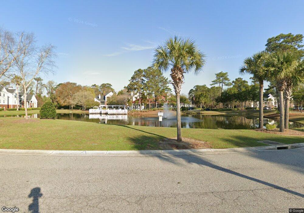
This home is located at 2011 N Highway 17 Unit 8806, Mount Pleasant, SC 29466 and is currently estimated at $786,422. 2011 N Highway 17 Unit 8806 is a home located in Charleston County with nearby schools including Mamie Whitesides Elementary School, Moultrie Middle School, and Wando High School.
Ownership History
Date
Name
Owned For
Owner Type
Purchase Details
Closed on
Jun 21, 2021
Sold by
David Ternberg
Bought by
Ternberg David and Salthouse Carolynn
Current Estimated Value
Purchase Details
Closed on
May 15, 2020
Sold by
Alewine William Sean
Bought by
Ternberg David
Home Financials for this Owner
Home Financials are based on the most recent Mortgage that was taken out on this home.
Original Mortgage
$129,000
Interest Rate
3.2%
Mortgage Type
New Conventional
Purchase Details
Closed on
Apr 27, 2006
Sold by
Montecito Palmetto Plantation Llc
Bought by
Gump Lyndon J and Gump Joyce R
Create a Home Valuation Report for This Property
The Home Valuation Report is an in-depth analysis detailing your home's value as well as a comparison with similar homes in the area
Home Values in the Area
Average Home Value in this Area
Purchase History
| Date | Buyer | Sale Price | Title Company |
|---|---|---|---|
| Ternberg David | -- | None Listed On Document | |
| Ternberg David | $190,000 | None Available | |
| Gump Lyndon J | $217,900 | None Available |
Source: Public Records
Mortgage History
| Date | Status | Borrower | Loan Amount |
|---|---|---|---|
| Previous Owner | Ternberg David | $129,000 |
Source: Public Records
Tax History Compared to Growth
Tax History
| Year | Tax Paid | Tax Assessment Tax Assessment Total Assessment is a certain percentage of the fair market value that is determined by local assessors to be the total taxable value of land and additions on the property. | Land | Improvement |
|---|---|---|---|---|
| 2024 | $85 | $180 | $0 | $0 |
| 2023 | $85 | $180 | $0 | $0 |
| 2022 | $72 | $180 | $0 | $0 |
| 2021 | $71 | $180 | $0 | $0 |
| 2020 | $55 | $110 | $0 | $0 |
| 2019 | $36 | $60 | $0 | $0 |
| 2017 | $36 | $60 | $0 | $0 |
| 2016 | $35 | $60 | $0 | $0 |
| 2015 | $36 | $60 | $0 | $0 |
| 2014 | $35 | $0 | $0 | $0 |
| 2011 | -- | $0 | $0 | $0 |
Source: Public Records
Map
Nearby Homes
- 2011 N Highway 17 Unit 2200h
- 2011 N Highway 17 Unit 1600N
- 2011 N Highway 17 Unit 2300l
- 2011 N Highway 17 Unit 2200 O
- 1717 Greystone Blvd Unit 13
- 1308 Ventura Place Unit F1308
- 1149 Monaco Dr
- 1603 Ventura Place
- 1205 Ventura Place Unit R1205
- 1233 Bridgeport Dr
- 1129 Yorktown Ct
- 1991 Armory Dr
- 1822 Falling Creek Cir
- 1972 Gray Battery Ct
- 1974 Armory Dr
- 1866 Montclair Dr Unit 1866C
- 1144 Club Terrace
- 1182 Welcome Dr
- 2173 Annie Laura Ln
- 0 Lucys Ln Unit 24029805
- 2011 N Highway 17 Unit 2200e
- 2011 N Highway 17 Unit 1900e
- 2011 N Highway 17 Unit 2100 O
- 2011 N Highway 17 Unit 2200 R
- 2011 N Highway 17 Unit 2100-T
- 2011 N Highway 17
- 2011 N Highway 17 Unit 2000K
- 2011 N Highway 17 Unit 8807
- 2011 N Highway 17 Unit 8805
- 2011 N Highway 17 Unit 8804
- 2011 N Highway 17 Unit 8803
- 2011 N Highway 17 Unit 8802
- 2011 N Highway 17 Unit 8801
- 2011 N Highway 17 Unit 8800
- 2011 N Highway 17 Unit 7710
- 2011 N Highway 17 Unit 7709
- 2011 N Highway 17 Unit 7708
- 2011 N Highway 17 Unit 7707
- 2011 N Highway 17 Unit 7706
- 2011 N Highway 17 Unit 7705