2011 Red Wing Way Hammonton, NJ 08037
Estimated Value: $197,172 - $300,000
--
Bed
--
Bath
924
Sq Ft
$258/Sq Ft
Est. Value
About This Home
This home is located at 2011 Red Wing Way, Hammonton, NJ 08037 and is currently estimated at $238,543, approximately $258 per square foot. 2011 Red Wing Way is a home located in Atlantic County with nearby schools including Joseph Shaner School, George L. Hess Educational Complex, and William Davies Middle School.
Ownership History
Date
Name
Owned For
Owner Type
Purchase Details
Closed on
Feb 12, 2021
Sold by
Cme Property Solutions Llc
Bought by
Anderson Alan G and Bain Florence A
Current Estimated Value
Home Financials for this Owner
Home Financials are based on the most recent Mortgage that was taken out on this home.
Original Mortgage
$162,626
Outstanding Balance
$145,526
Interest Rate
2.73%
Mortgage Type
New Conventional
Estimated Equity
$93,017
Purchase Details
Closed on
Nov 16, 2018
Sold by
Sack Richard J
Bought by
Cme Property Solutions Llc
Purchase Details
Closed on
Jan 24, 2018
Sold by
Sack Richard K
Bought by
Sack Richard J
Purchase Details
Closed on
Oct 10, 2017
Sold by
Sack Frederick P
Bought by
Sack Richard Karl
Purchase Details
Closed on
Feb 25, 1993
Sold by
Rocco Anthony M
Bought by
Sack Richard B and Sack Dorothy C
Create a Home Valuation Report for This Property
The Home Valuation Report is an in-depth analysis detailing your home's value as well as a comparison with similar homes in the area
Home Values in the Area
Average Home Value in this Area
Purchase History
| Date | Buyer | Sale Price | Title Company |
|---|---|---|---|
| Anderson Alan G | $161,000 | The Title Company | |
| Cme Property Solutions Llc | $52,000 | None Available | |
| Sack Richard J | -- | Madison Title Agency Llc | |
| Sack Richard Karl | -- | None Available | |
| Sack Richard B | $71,500 | -- | |
| Sack Dorthy C | $71,500 | -- |
Source: Public Records
Mortgage History
| Date | Status | Borrower | Loan Amount |
|---|---|---|---|
| Open | Anderson Alan G | $162,626 |
Source: Public Records
Tax History Compared to Growth
Tax History
| Year | Tax Paid | Tax Assessment Tax Assessment Total Assessment is a certain percentage of the fair market value that is determined by local assessors to be the total taxable value of land and additions on the property. | Land | Improvement |
|---|---|---|---|---|
| 2025 | $4,501 | $131,200 | $43,600 | $87,600 |
| 2024 | $4,501 | $131,200 | $43,600 | $87,600 |
| 2023 | $4,233 | $131,200 | $43,600 | $87,600 |
| 2022 | $4,233 | $131,200 | $43,600 | $87,600 |
| 2021 | $4,159 | $129,200 | $43,600 | $85,600 |
| 2020 | $4,159 | $129,200 | $43,600 | $85,600 |
| 2019 | $4,169 | $129,200 | $43,600 | $85,600 |
| 2018 | $3,773 | $129,200 | $43,600 | $85,600 |
| 2017 | $3,710 | $129,200 | $43,600 | $85,600 |
| 2016 | $3,599 | $129,200 | $43,600 | $85,600 |
| 2015 | $3,468 | $129,200 | $43,600 | $85,600 |
| 2014 | $3,470 | $141,600 | $50,400 | $91,200 |
Source: Public Records
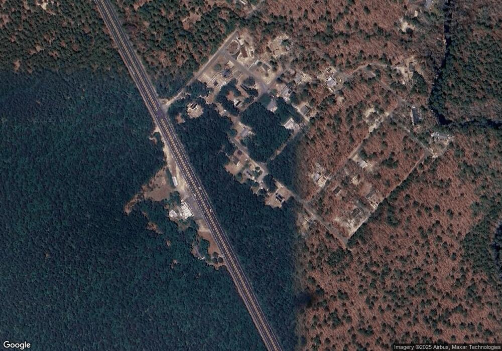
Map
Nearby Homes
- 2015 High Bank Rd
- 7640 Black Horse Pike
- 7684 E Black Horse Pike
- 7411 Black Horse Pike
- 7390 Black Horse Pike
- 1930 Mccall Ave
- 7351 Driftwood Ln
- 7417 3rd Ave
- 7415 3rd Ave
- 2216 Evergreen Dr
- 2212 Evergreen Dr
- 3117 N Pinewood Dr
- First 1st Ave
- 1601 Mccall Ave
- 7491 Smith Ave
- 7322 Black Horse Pike
- 1307 Black Horse Pike
- 1 Belmont Ave
- 7571 Strand Ave
- 1206 Black Horse Park
- 2013 Red Wing Way
- 2009 Red Wing Way
- 2015 Red Wing Way
- 2007 Red Wing Way
- 2002 Blue Fox Ln
- 2003 Blue Fox Ln
- 2003 Deer Track Ln
- 7492 Black Horse Pike
- 2006 Blue Fox Ln
- 2003 Red Wing Way
- 2005 Blue Fox Ln
- 2072 Skip Morgan Dr
- 2070 Skip Morgan Dr
- 2007 Lawrence Ln
- 2007 Bear Claw Ln
- 2068 Skip Morgan Dr
- 2008 Blue Fox Ln
- 2004 Deer Track Ln
- 2009 Deer Track Ln
- 2006 Deer Track Ln