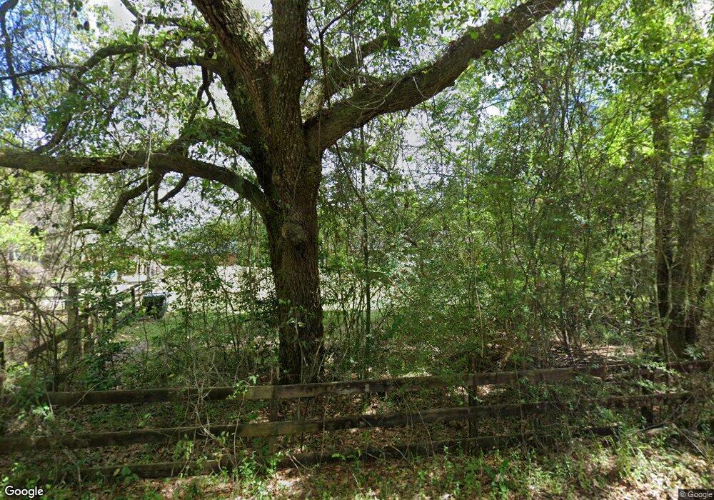
2011 Schmidt Ln E Mobile, AL 36695
Outer West Mobile NeighborhoodEstimated Value: $411,000 - $549,000
5
Beds
3
Baths
4,300
Sq Ft
$110/Sq Ft
Est. Value
About This Home
This home is located at 2011 Schmidt Ln E, Mobile, AL 36695 and is currently estimated at $470,891, approximately $109 per square foot. 2011 Schmidt Ln E is a home located in Mobile County with nearby schools including Hutchens Elementary School, Dawes Intermediate School, and Bernice J Causey Middle School.
Ownership History
Date
Name
Owned For
Owner Type
Purchase Details
Closed on
Feb 10, 2021
Sold by
Dueitt Adrianne D
Bought by
Dueitt Randall S
Current Estimated Value
Home Financials for this Owner
Home Financials are based on the most recent Mortgage that was taken out on this home.
Original Mortgage
$348,000
Outstanding Balance
$308,543
Interest Rate
2.6%
Mortgage Type
New Conventional
Estimated Equity
$162,348
Purchase Details
Closed on
Feb 15, 2007
Sold by
Hayhurst David T and Hayhurst Mari J
Bought by
Dueitt Randall S and Dueitt Adrianne D
Home Financials for this Owner
Home Financials are based on the most recent Mortgage that was taken out on this home.
Original Mortgage
$184,000
Interest Rate
6.16%
Mortgage Type
New Conventional
Create a Home Valuation Report for This Property
The Home Valuation Report is an in-depth analysis detailing your home's value as well as a comparison with similar homes in the area
Home Values in the Area
Average Home Value in this Area
Purchase History
| Date | Buyer | Sale Price | Title Company |
|---|---|---|---|
| Dueitt Randall S | $165,100 | Slt | |
| Dueitt Randall S | -- | Slt |
Source: Public Records
Mortgage History
| Date | Status | Borrower | Loan Amount |
|---|---|---|---|
| Open | Dueitt Randall S | $348,000 | |
| Previous Owner | Dueitt Randall S | $184,000 |
Source: Public Records
Tax History Compared to Growth
Tax History
| Year | Tax Paid | Tax Assessment Tax Assessment Total Assessment is a certain percentage of the fair market value that is determined by local assessors to be the total taxable value of land and additions on the property. | Land | Improvement |
|---|---|---|---|---|
| 2025 | $2,057 | $42,350 | $9,480 | $32,870 |
| 2024 | $2,057 | $40,610 | $9,390 | $31,220 |
| 2023 | $1,974 | $35,740 | $7,870 | $27,870 |
| 2022 | $1,667 | $35,740 | $7,870 | $27,870 |
| 2021 | $1,538 | $33,100 | $6,860 | $26,240 |
| 2020 | $1,538 | $33,100 | $6,860 | $26,240 |
| 2019 | $1,366 | $29,540 | $6,860 | $22,680 |
| 2018 | $1,366 | $29,540 | $0 | $0 |
| 2017 | $1,300 | $26,740 | $0 | $0 |
| 2016 | $1,247 | $27,100 | $0 | $0 |
| 2013 | $1,334 | $27,600 | $0 | $0 |
Source: Public Records
Map
Nearby Homes
- 1778 Trail Side Way
- 1762 Trail Side Way
- 1734 Trail Side Way
- 1716 Trail Side Way
- 1688 Trail Side Way
- 1748 Trail Side Way
- 1674 Trail Side Way
- 1658 Trail Side Way
- 1352 Sierra Estates Dr
- 0 Sands Dr Unit 7675577
- 1475 Hunters Ct N
- 2201 Liberty Dr E
- 10875 Sierra Estates Dr
- 10761 Cowart Rd
- 11900 Liberty Dr S
- 10775 Burlington Estates Dr
- 2120 Lumpkin Grove Ln
- 2500 Kaleigh Dr
- 2487 Kaleigh Dr
- 2499 Kaleigh Dr
- 1951 Reed Ln
- 1951 Reed Ln
- 1951 Reed Ln
- 1951A Reed Ln
- 1951 Reed Ln Unit A
- 1951C Reed Ln
- 2105 Schmidt Ln E
- 2149 Johnson Rd W
- 2242 Johnson Rd W
- 1702 Trail Side Way
- 2231 Johnson Rd W
- 2231 Johnson Rd W
- 11320 Airport Blvd
- 10683 Hunters Ct S
- 10711 Hunters Ridge Dr
- 10673 Hunters Ct S
- 1748 Hunters Ridge Dr W
- 10684 Hunters Ct S
- 1738 Hunters Ridge Dr W
- 1728 Hunters Ridge Dr W
