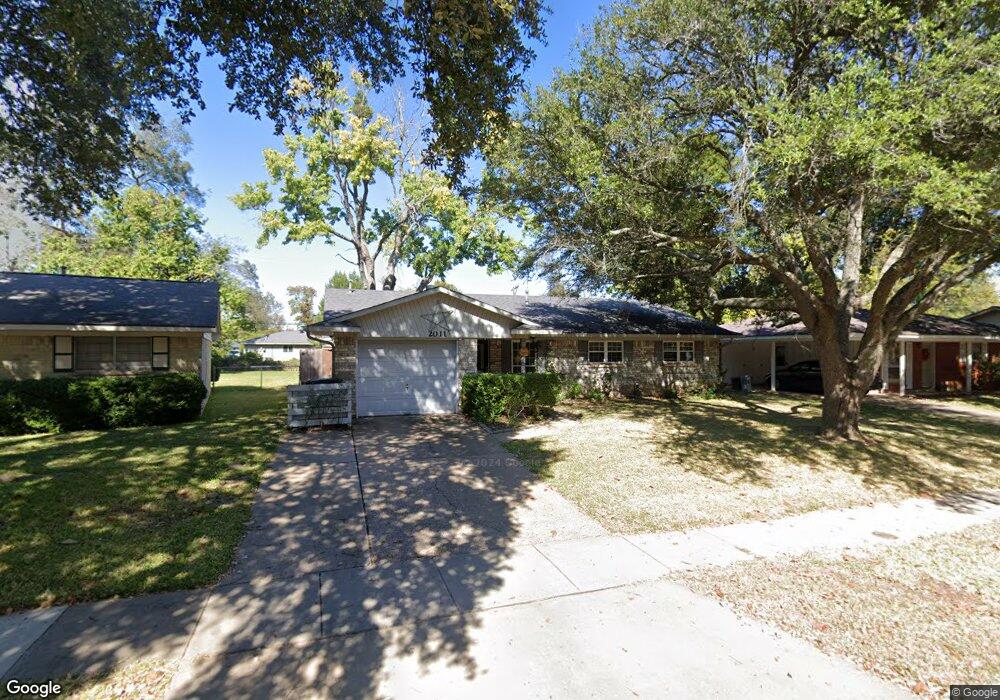
2011 Solar Ln Bossier City, LA 71112
South Bossier NeighborhoodEstimated Value: $161,000 - $214,000
4
Beds
2
Baths
1,507
Sq Ft
$119/Sq Ft
Est. Value
About This Home
This home is located at 2011 Solar Ln, Bossier City, LA 71112 and is currently estimated at $179,271, approximately $118 per square foot. 2011 Solar Ln is a home located in Bossier Parish with nearby schools including Sun City Elementary School, Curtis Elementary School, and Elm Grove Middle School.
Ownership History
Date
Name
Owned For
Owner Type
Purchase Details
Closed on
Feb 2, 2007
Sold by
Rampmaier Carl David
Bought by
Rampmaier Emily Barrington and Rampmaier Jason Gray
Current Estimated Value
Home Financials for this Owner
Home Financials are based on the most recent Mortgage that was taken out on this home.
Original Mortgage
$93,600
Outstanding Balance
$55,906
Interest Rate
6.11%
Mortgage Type
Unknown
Estimated Equity
$123,365
Purchase Details
Closed on
Jul 29, 2005
Sold by
Rampmaier Pamela Ann
Bought by
Rampmaier Carl David
Create a Home Valuation Report for This Property
The Home Valuation Report is an in-depth analysis detailing your home's value as well as a comparison with similar homes in the area
Home Values in the Area
Average Home Value in this Area
Purchase History
| Date | Buyer | Sale Price | Title Company |
|---|---|---|---|
| Rampmaier Emily Barrington | $117,000 | None Available | |
| Rampmaier Carl David | -- | None Available | |
| Rampmasier Pamela Ann | $24,500 | None Available |
Source: Public Records
Mortgage History
| Date | Status | Borrower | Loan Amount |
|---|---|---|---|
| Open | Rampmaier Emily Barrington | $93,600 |
Source: Public Records
Tax History Compared to Growth
Tax History
| Year | Tax Paid | Tax Assessment Tax Assessment Total Assessment is a certain percentage of the fair market value that is determined by local assessors to be the total taxable value of land and additions on the property. | Land | Improvement |
|---|---|---|---|---|
| 2024 | $1,489 | $12,262 | $2,450 | $9,812 |
| 2023 | $1,496 | $11,479 | $2,300 | $9,179 |
| 2022 | $1,231 | $11,479 | $2,300 | $9,179 |
| 2021 | $259 | $11,479 | $2,300 | $9,179 |
| 2020 | $426 | $11,479 | $2,300 | $9,179 |
| 2019 | $438 | $11,530 | $2,000 | $9,530 |
| 2018 | $438 | $11,530 | $2,000 | $9,530 |
| 2017 | $696 | $11,530 | $2,000 | $9,530 |
| 2016 | $696 | $11,530 | $2,000 | $9,530 |
| 2015 | $266 | $11,710 | $2,000 | $9,710 |
| 2014 | $266 | $11,710 | $2,000 | $9,710 |
Source: Public Records
Map
Nearby Homes
- 2023 Pluto Dr
- 4210 Mike St
- 1904 Carol St
- 238 Avondale Ln
- 1906 Ray Ave
- 1711 Alison Ave
- 1701 Avondale Ct
- 4213 van Deeman St
- 1911 General Jackson Place
- 466 Jordan Dr
- 2002 General Jackson Place
- 523 Columbia Cir
- 5322 Jonquil St
- 1806 Dennis St
- 4717 General Ewell Dr
- 1705 Ray Ave
- 1957 Rossie Lee Dr
- 1943 Rossie Lee Dr
- 1945 Rossie Lee Dr
- 000 Rossie Lee Dr