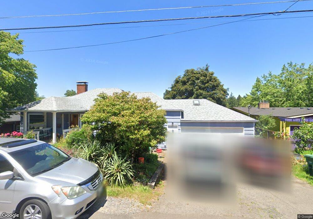
2011 SW Custer St Portland, OR 97219
Hillsdale NeighborhoodEstimated Value: $596,000 - $671,711
3
Beds
2
Baths
2,112
Sq Ft
$304/Sq Ft
Est. Value
About This Home
This home is located at 2011 SW Custer St, Portland, OR 97219 and is currently estimated at $642,428, approximately $304 per square foot. 2011 SW Custer St is a home located in Multnomah County with nearby schools including Rieke Elementary School, Robert Gray Middle School, and Ida B. Wells-Barnett High School.
Ownership History
Date
Name
Owned For
Owner Type
Purchase Details
Closed on
May 8, 2015
Sold by
Mayer James M
Bought by
Scheinberg Russell T and Scheinberg Miao Yu
Current Estimated Value
Home Financials for this Owner
Home Financials are based on the most recent Mortgage that was taken out on this home.
Original Mortgage
$293,600
Outstanding Balance
$225,850
Interest Rate
3.64%
Mortgage Type
New Conventional
Estimated Equity
$416,578
Purchase Details
Closed on
May 8, 2013
Sold by
Mayer Nancy Ann L
Bought by
Mayer James M
Create a Home Valuation Report for This Property
The Home Valuation Report is an in-depth analysis detailing your home's value as well as a comparison with similar homes in the area
Home Values in the Area
Average Home Value in this Area
Purchase History
| Date | Buyer | Sale Price | Title Company |
|---|---|---|---|
| Scheinberg Russell T | $367,000 | First American | |
| Mayer James M | -- | None Available |
Source: Public Records
Mortgage History
| Date | Status | Borrower | Loan Amount |
|---|---|---|---|
| Open | Scheinberg Russell T | $293,600 |
Source: Public Records
Tax History Compared to Growth
Tax History
| Year | Tax Paid | Tax Assessment Tax Assessment Total Assessment is a certain percentage of the fair market value that is determined by local assessors to be the total taxable value of land and additions on the property. | Land | Improvement |
|---|---|---|---|---|
| 2024 | $8,181 | $306,060 | -- | -- |
| 2023 | $7,867 | $297,150 | $0 | $0 |
| 2022 | $7,696 | $288,500 | $0 | $0 |
| 2021 | $7,566 | $280,100 | $0 | $0 |
| 2020 | $6,941 | $271,950 | $0 | $0 |
| 2019 | $6,685 | $264,030 | $0 | $0 |
| 2018 | $6,489 | $256,340 | $0 | $0 |
| 2017 | $6,219 | $248,880 | $0 | $0 |
| 2016 | $5,691 | $241,640 | $0 | $0 |
| 2015 | $5,542 | $234,610 | $0 | $0 |
| 2014 | -- | $227,780 | $0 | $0 |
Source: Public Records
Map
Nearby Homes
- 2320 SW Canby Ct
- 1834 SW Miles St
- 1739 SW Logan St
- 2119 SW Nevada Ct
- 7898 SW Capitol Hill Rd
- 2601 SW Troy St
- 8040 SW Capitol Hill Rd
- 8046 SW Capitol Hill Rd
- 7820 SW 17th Dr
- 2612 SW Moss St
- 7290 SW 13th Ave
- 6936 SW 15th Ave
- 6835 SW Capitol Hill Rd Unit 36
- 2525 SW Hume Ct
- 2831 SW Moss St
- 8329 SW 24th Ave Unit 3
- 1613 SW Hume Ct
- 7503 SW Capitol Hwy Unit 7503
- 7868 SW 30th Ave
- 2616 SW Hume Ct Unit 28
- 2005 SW Custer St
- 2021 SW Custer St
- 1935 SW Custer St
- 2020 SW Miles St
- 2014 SW Miles St
- 2026 SW Miles St
- 7526 SW Capitol Hill Rd
- 2107 SW Custer St
- 1938 SW Miles St
- 2010 SW Custer St
- 7520 SW Capitol Hill Rd
- 2004 SW Custer St
- 2022 SW Custer St
- 2042 SW Custer St
- 7500 SW Capitol Hill Rd
- 1918 SW Miles St
- 1928 SW Custer St
- 1905 SW Custer St
- 7604 SW Capitol Hill Rd
- 2021 SW Miles St