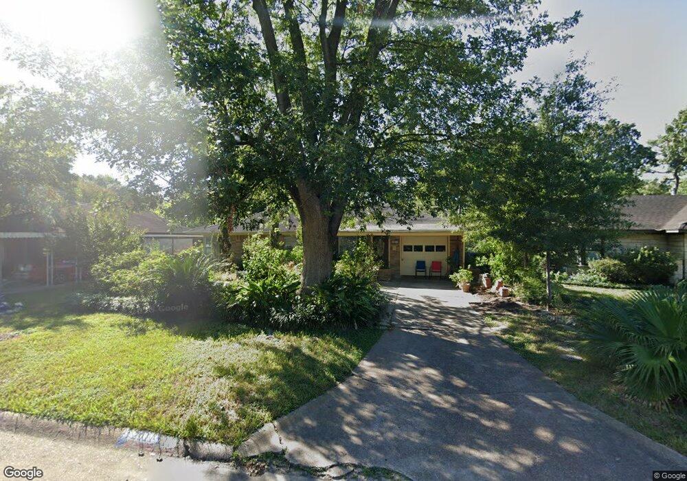
2011 Wilde Rock Way Houston, TX 77018
Oak Forest-Garden Oaks NeighborhoodEstimated Value: $357,530 - $395,000
3
Beds
1
Bath
1,191
Sq Ft
$310/Sq Ft
Est. Value
About This Home
This home is located at 2011 Wilde Rock Way, Houston, TX 77018 and is currently estimated at $368,633, approximately $309 per square foot. 2011 Wilde Rock Way is a home located in Harris County with nearby schools including Oak Forest Elementary School, Frank Black Middle School, and Waltrip High School.
Ownership History
Date
Name
Owned For
Owner Type
Purchase Details
Closed on
Jun 15, 2011
Sold by
Moore Hansi E
Bought by
Sosa Gertrudis Castillo
Current Estimated Value
Home Financials for this Owner
Home Financials are based on the most recent Mortgage that was taken out on this home.
Original Mortgage
$36,500
Interest Rate
4.74%
Mortgage Type
Seller Take Back
Purchase Details
Closed on
Jul 3, 2002
Sold by
Figaro Michael Peter
Bought by
Moore Hansi E
Home Financials for this Owner
Home Financials are based on the most recent Mortgage that was taken out on this home.
Original Mortgage
$93,200
Interest Rate
6.76%
Create a Home Valuation Report for This Property
The Home Valuation Report is an in-depth analysis detailing your home's value as well as a comparison with similar homes in the area
Home Values in the Area
Average Home Value in this Area
Purchase History
| Date | Buyer | Sale Price | Title Company |
|---|---|---|---|
| Sosa Gertrudis Castillo | -- | Infinity Title Company | |
| Moore Hansi E | -- | Chicago Title |
Source: Public Records
Mortgage History
| Date | Status | Borrower | Loan Amount |
|---|---|---|---|
| Closed | Sosa Gertrudis Castillo | $36,500 | |
| Previous Owner | Moore Hansi E | $93,200 |
Source: Public Records
Tax History Compared to Growth
Tax History
| Year | Tax Paid | Tax Assessment Tax Assessment Total Assessment is a certain percentage of the fair market value that is determined by local assessors to be the total taxable value of land and additions on the property. | Land | Improvement |
|---|---|---|---|---|
| 2025 | $129 | $331,986 | $280,800 | $51,186 |
| 2024 | $129 | $331,986 | $280,800 | $51,186 |
| 2023 | $129 | $298,588 | $245,700 | $52,888 |
| 2022 | $5,904 | $281,916 | $210,600 | $71,316 |
| 2021 | $5,682 | $243,775 | $175,500 | $68,275 |
| 2020 | $5,903 | $243,775 | $175,500 | $68,275 |
| 2019 | $6,113 | $241,575 | $175,500 | $66,075 |
| 2018 | $844 | $222,533 | $140,400 | $82,133 |
| 2017 | $5,257 | $222,533 | $140,400 | $82,133 |
| 2016 | $4,779 | $222,533 | $140,400 | $82,133 |
| 2015 | $1,000 | $207,405 | $140,400 | $67,005 |
| 2014 | $1,000 | $175,035 | $105,300 | $69,735 |
Source: Public Records
Map
Nearby Homes
- 2003 Wilde Rock Way
- 3042 Oak Forest Dr
- 2323 Wilde Rock Way
- 2402 Bron Holly Dr
- 2411 Stonecrest Dr
- 2206 Lou Ellen Ln Unit C
- 2006 Lou Ellen Ln Unit H
- 3506 Oak Forest Dr
- 2108 Bidwell Dr
- 2106 Bidwel1 Dr
- 3508 Piney Woods Dr
- 3512 Piney Woods Dr
- 3516 Piney Woods Dr
- 3520 Piney Woods Dr
- 2116 Oatfield Dr
- 2122 Oatfield Dr
- 1906 W 25th St
- 2520 Ohsfeldt St
- 1824 W 25th St
- 3715 Sherwood Ln
- 2007 Wilde Rock Way
- 2015 Wilde Rock Way
- 2010 Ansbury Dr
- 2014 Ansbury Dr
- 2006 Ansbury Dr
- 2103 Wilde Rock Way
- 2010 Wilde Rock Way
- 2102 Ansbury Dr
- 2002 Ansbury Dr
- 2006 Wilde Rock Way
- 2014 Wilde Rock Way
- 2107 Wilde Rock Way
- 2002 Wilde Rock Way
- 2102 Wilde Rock Way
- 2106 Wilde Rock Way
- 2111 Wilde Rock Way
- 2011 Bron Holly Dr
- 2011 Ansbury Dr
- 2007 Bron Holly Dr
- 2015 Bron Holly Dr