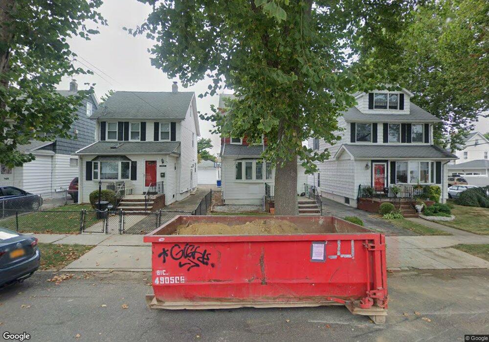
20115 50th Ave Oakland Gardens, NY 11364
Auburndale NeighborhoodEstimated Value: $878,000 - $1,177,000
--
Bed
--
Bath
1,508
Sq Ft
$675/Sq Ft
Est. Value
About This Home
This home is located at 20115 50th Ave, Oakland Gardens, NY 11364 and is currently estimated at $1,018,088, approximately $675 per square foot. 20115 50th Ave is a home located in Queens County with nearby schools including P.S. 162 The John Golden School, M.S. 158 - Marie Curie, and Francis Lewis High School.
Ownership History
Date
Name
Owned For
Owner Type
Purchase Details
Closed on
Jun 1, 2004
Sold by
Barletta George R
Bought by
Hsieh Kou Wie
Current Estimated Value
Home Financials for this Owner
Home Financials are based on the most recent Mortgage that was taken out on this home.
Original Mortgage
$333,700
Interest Rate
6.12%
Mortgage Type
Purchase Money Mortgage
Purchase Details
Closed on
May 28, 2002
Sold by
Barletta Michael A
Bought by
Barletta George R
Home Financials for this Owner
Home Financials are based on the most recent Mortgage that was taken out on this home.
Original Mortgage
$130,000
Interest Rate
6.92%
Purchase Details
Closed on
Jun 15, 1994
Sold by
Barletta Betty D
Bought by
Barletta Michael A and Betty D Barletta Revocable Trust
Create a Home Valuation Report for This Property
The Home Valuation Report is an in-depth analysis detailing your home's value as well as a comparison with similar homes in the area
Home Values in the Area
Average Home Value in this Area
Purchase History
| Date | Buyer | Sale Price | Title Company |
|---|---|---|---|
| Hsieh Kou Wie | $510,000 | -- | |
| Hsieh Kou Wie | $510,000 | -- | |
| Barletta George R | -- | -- | |
| Barletta George R | -- | -- | |
| Barletta Michael A | -- | Commonwealth Land Title Ins | |
| Barletta Michael A | -- | Commonwealth Land Title Ins |
Source: Public Records
Mortgage History
| Date | Status | Borrower | Loan Amount |
|---|---|---|---|
| Previous Owner | Hsieh Kou Wie | $333,700 | |
| Previous Owner | Barletta George R | $130,000 |
Source: Public Records
Tax History Compared to Growth
Tax History
| Year | Tax Paid | Tax Assessment Tax Assessment Total Assessment is a certain percentage of the fair market value that is determined by local assessors to be the total taxable value of land and additions on the property. | Land | Improvement |
|---|---|---|---|---|
| 2025 | $7,513 | $38,695 | $7,050 | $31,645 |
| 2024 | $7,513 | $37,404 | $7,091 | $30,313 |
| 2023 | $7,168 | $35,686 | $6,567 | $29,119 |
| 2022 | $6,781 | $51,360 | $10,920 | $40,440 |
| 2021 | $6,786 | $53,520 | $10,920 | $42,600 |
| 2020 | $6,826 | $54,000 | $10,920 | $43,080 |
| 2019 | $6,520 | $50,700 | $10,920 | $39,780 |
| 2018 | $6,062 | $29,738 | $6,474 | $23,264 |
| 2017 | $5,770 | $28,305 | $6,896 | $21,409 |
| 2016 | $5,372 | $28,305 | $6,896 | $21,409 |
| 2015 | $3,221 | $26,872 | $8,972 | $17,900 |
| 2014 | $3,221 | $25,975 | $10,411 | $15,564 |
Source: Public Records
Map
Nearby Homes
- 4843 201st St
- 48-18 202nd St
- 50-15 199th St
- 48-35 Clearview Expy
- 53-12 199th St
- 19715 53rd Ave
- 199-04 47th Ave
- 48-46 206th St Unit 2
- 46-38 204th St
- 53-40 198th St
- 47-11 197th St
- 47-24 197th St
- 198-01 56th Ave
- 4732 207th St
- 204-19 46th Rd
- 4607 204th St
- 47-65 196th St
- 56-39 Francis Lewis Blvd
- 5640 Francis Lewis Blvd
- 46-27 206th St
- 20119 50th Ave
- 20111 50th Ave
- 20109 50th Ave
- 4844 202nd St
- 20109 50th Ave
- 20107 50th Ave
- 4840 202nd St
- 20201 50th Ave
- 20105 50th Ave
- 201-05 50th Ave
- 4836 202nd St
- 4836 202nd St
- 4836 202nd St
- 20205 50th Ave
- 20101 50th Ave
- 4843 201st St Unit 2 Flrs
- 4843 201st St Unit 2 Flrs
- 4834 202nd St
- 4837 201st St
- 4843 202nd St