20119 Road 24 Delphos, OH 45833
Estimated Value: $164,000 - $320,000
--
Bed
2
Baths
1,560
Sq Ft
$168/Sq Ft
Est. Value
About This Home
This home is located at 20119 Road 24, Delphos, OH 45833 and is currently estimated at $262,814, approximately $168 per square foot. 20119 Road 24 is a home located in Putnam County with nearby schools including Fort Jennings Elementary School, Fort Jennings High School, and Delphos St. John's High School.
Ownership History
Date
Name
Owned For
Owner Type
Purchase Details
Closed on
Sep 28, 2020
Sold by
Horstman Christine R and Horstman Christine
Bought by
Horsltman Jeremy E
Current Estimated Value
Purchase Details
Closed on
Dec 1, 2016
Sold by
Horstman Gerald E
Bought by
Horstman Jeremy E and Horstman Christine
Create a Home Valuation Report for This Property
The Home Valuation Report is an in-depth analysis detailing your home's value as well as a comparison with similar homes in the area
Home Values in the Area
Average Home Value in this Area
Purchase History
| Date | Buyer | Sale Price | Title Company |
|---|---|---|---|
| Horsltman Jeremy E | -- | None Available | |
| Horstman Jeremy E | -- | Attorney |
Source: Public Records
Tax History Compared to Growth
Tax History
| Year | Tax Paid | Tax Assessment Tax Assessment Total Assessment is a certain percentage of the fair market value that is determined by local assessors to be the total taxable value of land and additions on the property. | Land | Improvement |
|---|---|---|---|---|
| 2024 | $2,191 | $84,700 | $11,290 | $73,410 |
| 2023 | $2,282 | $65,850 | $8,090 | $57,760 |
| 2022 | $1,921 | $65,850 | $8,089 | $57,761 |
| 2021 | $1,923 | $65,680 | $8,090 | $57,590 |
| 2020 | $1,929 | $50,620 | $7,050 | $43,570 |
| 2019 | $1,683 | $58,900 | $8,090 | $50,810 |
| 2018 | $1,659 | $58,900 | $8,090 | $50,810 |
| 2017 | $1,396 | $58,900 | $8,090 | $50,810 |
| 2016 | $1,396 | $50,620 | $7,050 | $43,570 |
| 2015 | $1,533 | $50,620 | $7,050 | $43,570 |
| 2014 | $1,550 | $50,620 | $7,050 | $43,570 |
| 2013 | $1,909 | $50,620 | $7,050 | $43,570 |
Source: Public Records
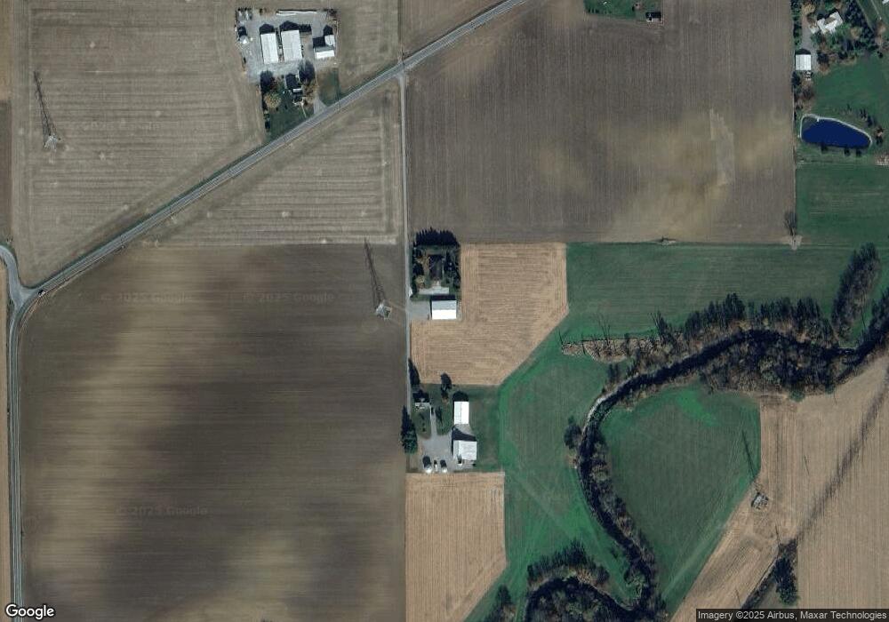
Map
Nearby Homes
- 7510 State Route 66
- 1220 Rose Anna Dr
- 1303 Carolyn Dr
- 0 Road 24-Q
- 810 N Franklin St
- 650 E 6th St
- 704 N Franklin St
- 628 N Pierce St
- 610 N Washington St
- 914 E 3rd St
- 0 Heritage Cir Unit 6112034
- 0 Heritage Cir Unit 303239
- 903 E 3rd St
- 821 E 3rd St
- 405 N Franklin St
- 320 Auglaize St
- 604 W 6th St
- 503 W 6th St
- 210 E 3rd St
- 633 E 2nd St
- 20101 Road 24
- 19866 State Route 190
- 19737 State Route 190
- 19649 State Route 190
- 20334 Road 24
- 19629 State Route 190
- 20344 Road 24
- 20235 State Route 190
- 20339 Road
- 20360 Road 24
- 20339 Road 24
- 20402 Road 24
- 20379 Road 24
- 24266 Road T
- 20411 Road 24
- 20426 Road 24
- 19599 State Route 190
- 20441 Road
- 20441 Road 24