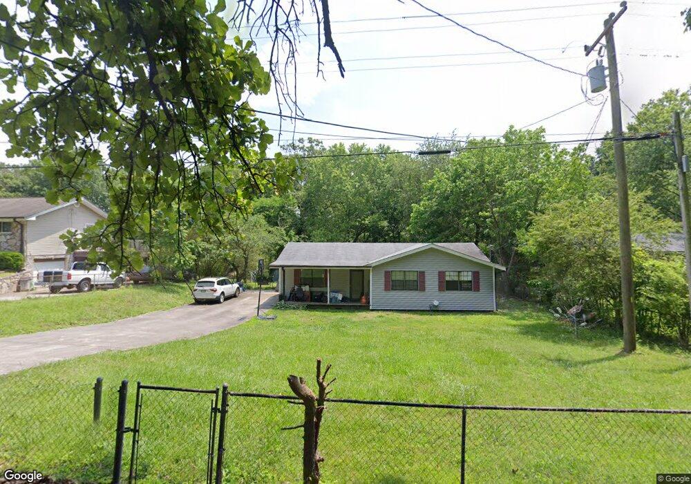
2012 1/2 Rogers Rd Rossville, GA 30741
Estimated Value: $193,000 - $216,000
--
Bed
2
Baths
1,152
Sq Ft
$178/Sq Ft
Est. Value
About This Home
This home is located at 2012 1/2 Rogers Rd, Rossville, GA 30741 and is currently estimated at $204,556, approximately $177 per square foot. 2012 1/2 Rogers Rd is a home located in Walker County with nearby schools including Stone Creek Elementary School, Rossville Middle School, and Ridgeland High School.
Ownership History
Date
Name
Owned For
Owner Type
Purchase Details
Closed on
Jun 11, 1998
Sold by
Garner Joe
Bought by
Youngblood Chanon
Current Estimated Value
Purchase Details
Closed on
Jan 28, 1998
Sold by
United Companies Lending Corp
Bought by
Garner Joe
Purchase Details
Closed on
Jan 6, 1998
Sold by
Blakemore Donnie and Blakemore Marquita
Bought by
United Companies Lending Corp
Purchase Details
Closed on
Dec 27, 1993
Sold by
Michaels Karen
Bought by
Blakemore Donnie and Blakemore Marquita
Purchase Details
Closed on
Nov 1, 1990
Sold by
Michaels Karen Delanie
Bought by
Michaels Dale and Karen Delaini
Create a Home Valuation Report for This Property
The Home Valuation Report is an in-depth analysis detailing your home's value as well as a comparison with similar homes in the area
Home Values in the Area
Average Home Value in this Area
Purchase History
| Date | Buyer | Sale Price | Title Company |
|---|---|---|---|
| Youngblood Chanon | $54,500 | -- | |
| Garner Joe | $27,000 | -- | |
| United Companies Lending Corp | $36,600 | -- | |
| Blakemore Donnie | -- | -- | |
| Michaels Karen | -- | -- | |
| Michaels Dale | -- | -- | |
| Michaels Karen Delanie | -- | -- |
Source: Public Records
Tax History Compared to Growth
Tax History
| Year | Tax Paid | Tax Assessment Tax Assessment Total Assessment is a certain percentage of the fair market value that is determined by local assessors to be the total taxable value of land and additions on the property. | Land | Improvement |
|---|---|---|---|---|
| 2024 | $1,456 | $63,750 | $4,189 | $59,561 |
| 2023 | $1,414 | $60,495 | $4,189 | $56,306 |
| 2022 | $1,329 | $52,247 | $4,189 | $48,058 |
| 2021 | $996 | $34,263 | $3,142 | $31,121 |
| 2020 | $839 | $27,126 | $3,142 | $23,984 |
| 2019 | $828 | $26,174 | $3,142 | $23,032 |
| 2018 | $693 | $26,174 | $3,142 | $23,032 |
| 2017 | $900 | $26,174 | $3,142 | $23,032 |
| 2016 | $770 | $26,174 | $3,142 | $23,032 |
| 2015 | $688 | $21,421 | $3,240 | $18,181 |
| 2014 | $605 | $21,421 | $3,240 | $18,181 |
| 2013 | -- | $21,421 | $3,240 | $18,181 |
Source: Public Records
Map
Nearby Homes
- 823 Schmitt Rd
- 927 Hulana St
- 843 Schmitt Rd
- 811 Park City Rd
- 0 Park City Rd Unit 1519998
- 7 Broadway St
- 7 Catherine St
- 705 Park City Rd
- 624 Corbley Rd
- 610 Corbley Rd
- 47 Battle Bluff Dr
- 0 Mission Ridge Rd Unit 1523146
- 0 Mission Ridge Rd Unit RTC3035902
- 42 Battle Bluff Dr
- 9 Longstreet Rd
- 145 Mission Ridge Rd
- 515 Hogan Rd
- 98 Stegall St
- 338 Kinsey St
- 0 Sunset Cir Unit 1517664