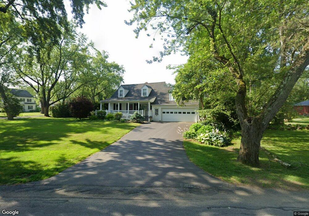
2012 Baker Ave Schenectady, NY 12309
Estimated Value: $328,981 - $375,000
3
Beds
3
Baths
1,512
Sq Ft
$233/Sq Ft
Est. Value
About This Home
This home is located at 2012 Baker Ave, Schenectady, NY 12309 and is currently estimated at $352,495, approximately $233 per square foot. 2012 Baker Ave is a home located in Schenectady County with nearby schools including Craig Elementary School, Van Antwerp Middle School, and Iroquois Middle School.
Ownership History
Date
Name
Owned For
Owner Type
Purchase Details
Closed on
Dec 11, 2013
Sold by
Woerner Maureen A
Bought by
The Maureen A Woerner Irrevocable Trust
Current Estimated Value
Purchase Details
Closed on
Jan 14, 2005
Sold by
Willard R T
Bought by
Woerner Allen
Purchase Details
Closed on
Jul 14, 2000
Sold by
Willard Richard T
Bought by
Willard R T R and Willard Laura E
Create a Home Valuation Report for This Property
The Home Valuation Report is an in-depth analysis detailing your home's value as well as a comparison with similar homes in the area
Home Values in the Area
Average Home Value in this Area
Purchase History
| Date | Buyer | Sale Price | Title Company |
|---|---|---|---|
| The Maureen A Woerner Irrevocable Trust | -- | None Available | |
| Woerner Allen | $195,000 | -- | |
| Willard R T R | -- | -- |
Source: Public Records
Tax History
| Year | Tax Paid | Tax Assessment Tax Assessment Total Assessment is a certain percentage of the fair market value that is determined by local assessors to be the total taxable value of land and additions on the property. | Land | Improvement |
|---|---|---|---|---|
| 2024 | $9,649 | $215,000 | $42,800 | $172,200 |
| 2023 | $98 | $215,000 | $42,800 | $172,200 |
| 2022 | $9,547 | $215,000 | $42,800 | $172,200 |
| 2021 | $7,844 | $215,000 | $42,800 | $172,200 |
| 2020 | $6,934 | $215,000 | $42,800 | $172,200 |
| 2019 | $3,619 | $215,000 | $42,800 | $172,200 |
| 2018 | $6,868 | $215,000 | $42,800 | $172,200 |
| 2017 | $6,717 | $215,000 | $42,800 | $172,200 |
| 2016 | $6,836 | $215,000 | $42,800 | $172,200 |
| 2015 | -- | $215,000 | $42,800 | $172,200 |
| 2014 | -- | $215,000 | $42,800 | $172,200 |
Source: Public Records
Map
Nearby Homes
- 2041 Morrow Ave
- 1549 Wyoming Ave
- 1535 Myron St
- 1527 Dean St
- 2324 Niskayuna Dr
- 1971 Nott St
- 1501 Baker Ave
- 2303 Balltown Rd
- 2313 Balltown Rd
- 1829 Pawtucket Ave
- 2135 Morrow Ave
- 1450 Baker Ave
- 14 Carrie Ct
- 2066 Orchard Park Dr
- 2370 Nott St E Unit 2370
- 1377 Tracy Ave
- 241 Mohawk Trail
- 1301 Belmont Ave
- 2131 Grand Blvd
- 1295 Myron St
- 1945 Regent St
- 1941 Regent St
- 1937 Regent St
- 1940 Dean St
- 2001 Regent St
- 1948 Regent St
- 2005 Baker Ave
- 1940 Regent St
- 2024 Baker Ave
- 2004 Dean St
- 1929 Regent St
- 1936 Regent St
- 2005 Regent St
- 1928 Dean St
- 2023 Coolidge Place
- 2004 Regent St
- 2028 Baker Ave
- 2008 Dean St
- 2027 Coolidge Place
- 2032 Baker Ave
Your Personal Tour Guide
Ask me questions while you tour the home.