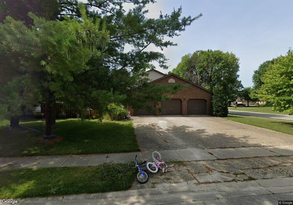
2012 Briar Ct Springfield, IL 62704
Estimated Value: $338,000 - $376,000
Studio
--
Bath
--
Sq Ft
16,640
Sq Ft
About This Home
This home is located at 2012 Briar Ct, Springfield, IL 62704 and is currently estimated at $350,458. 2012 Briar Ct is a home located in Sangamon County with nearby schools including Glenwood Elementary School, Glenwood Middle School, and Glenwood Intermediate School.
Ownership History
Date
Name
Owned For
Owner Type
Purchase Details
Closed on
Oct 1, 2020
Sold by
Griffin Daniel R and Griffin Kathryn L
Bought by
Fyans-Jimenez Angela
Current Estimated Value
Home Financials for this Owner
Home Financials are based on the most recent Mortgage that was taken out on this home.
Original Mortgage
$247,000
Outstanding Balance
$219,693
Interest Rate
2.9%
Mortgage Type
New Conventional
Estimated Equity
$130,765
Create a Home Valuation Report for This Property
The Home Valuation Report is an in-depth analysis detailing your home's value as well as a comparison with similar homes in the area
Purchase History
| Date | Buyer | Sale Price | Title Company |
|---|---|---|---|
| Fyans-Jimenez Angela | $260,000 | Cornerstone Title |
Source: Public Records
Mortgage History
| Date | Status | Borrower | Loan Amount |
|---|---|---|---|
| Open | Fyans-Jimenez Angela | $247,000 |
Source: Public Records
Tax History
| Year | Tax Paid | Tax Assessment Tax Assessment Total Assessment is a certain percentage of the fair market value that is determined by local assessors to be the total taxable value of land and additions on the property. | Land | Improvement |
|---|---|---|---|---|
| 2024 | $7,155 | $103,053 | $14,569 | $88,484 |
| 2023 | $6,767 | $94,129 | $13,307 | $80,822 |
| 2022 | $6,465 | $88,701 | $12,624 | $76,077 |
| 2021 | $6,488 | $85,379 | $12,151 | $73,228 |
| 2020 | $6,215 | $85,228 | $12,169 | $73,059 |
| 2019 | $6,110 | $84,931 | $12,127 | $72,804 |
| 2018 | $5,980 | $84,517 | $12,068 | $72,449 |
| 2017 | $5,853 | $83,424 | $11,912 | $71,512 |
| 2016 | $5,749 | $82,207 | $11,738 | $70,469 |
| 2015 | $5,725 | $81,225 | $11,598 | $69,627 |
| 2014 | $5,700 | $80,700 | $11,523 | $69,177 |
| 2013 | $5,654 | $80,700 | $11,523 | $69,177 |
Source: Public Records
Map
Nearby Homes
- 3508 Wexford Dr
- 3304 Ellendale Dr
- 3326 Jennings Dr
- 2424 Lindbergh Blvd
- 29 Belhaven Dr
- 2337 Grinnell Dr
- 90 Brookside Place Unit 57
- 141 Archer Ave
- 0 Interstate 72
- 3434 Freedom Dr
- 3418 S Park Ave Unit 1
- 3416 S Lincoln Ave Unit 1
- 4351 Conestoga Dr
- 1 Prairie Lane Ct Unit 1
- 441 Armor Rd
- 3104 Constitution Dr
- 1705 Reed Ave Unit 1
- 1737 W Homewood Ave Unit 1
- 10 Reed Ct
- 2914 S Park Ave Unit 1
- 2008 Briar Ct
- 3708 Brandonshire Dr
- 2004 Briar Ct
- 2000 Briar Ct
- 2009 Briar Ct
- 2001 Briar Ct
- 2013 Briar Ct
- 2005 Briar Ct
- 3709 Brandonshire Dr
- 3705 Brandonshire Dr
- 3621 Brandonshire Dr
- 2009 Carrington Ct
- 2005 Carrington Ct
- 2008 Attenborough Ct
- 2025 Renwick Dr
- 2004 Attenborough Ct
- 2013 Carrington Ct
- 3617 Brandonshire Dr
- 3612 Brandonshire Dr
- 2001 Carrington Ct
Your Personal Tour Guide
Ask me questions while you tour the home.