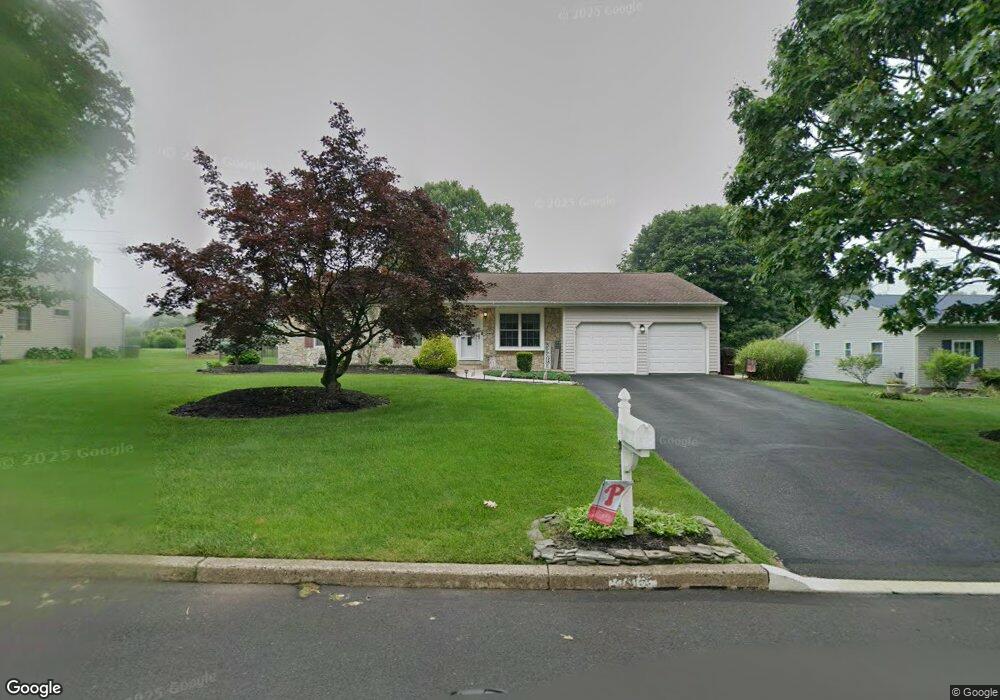
2012 Brook Ln Jamison, PA 18929
Estimated Value: $516,000 - $593,000
3
Beds
2
Baths
1,738
Sq Ft
$315/Sq Ft
Est. Value
About This Home
This home is located at 2012 Brook Ln, Jamison, PA 18929 and is currently estimated at $546,665, approximately $314 per square foot. 2012 Brook Ln is a home located in Bucks County with nearby schools including Jamison Elementary School, Tamanend Middle School, and Central Bucks High School - South.
Ownership History
Date
Name
Owned For
Owner Type
Purchase Details
Closed on
Oct 23, 1998
Sold by
Zerby Robert G and Zerby Sharon L
Bought by
Kivlin David M and Kivlin Robin C
Current Estimated Value
Home Financials for this Owner
Home Financials are based on the most recent Mortgage that was taken out on this home.
Original Mortgage
$148,500
Outstanding Balance
$32,064
Interest Rate
6.74%
Estimated Equity
$514,601
Purchase Details
Closed on
Feb 19, 1986
Bought by
Zerby Robert G and Zerby Sharon L
Create a Home Valuation Report for This Property
The Home Valuation Report is an in-depth analysis detailing your home's value as well as a comparison with similar homes in the area
Home Values in the Area
Average Home Value in this Area
Purchase History
| Date | Buyer | Sale Price | Title Company |
|---|---|---|---|
| Kivlin David M | $163,000 | -- | |
| Zerby Robert G | $91,200 | -- |
Source: Public Records
Mortgage History
| Date | Status | Borrower | Loan Amount |
|---|---|---|---|
| Open | Kivlin David M | $148,500 |
Source: Public Records
Tax History
| Year | Tax Paid | Tax Assessment Tax Assessment Total Assessment is a certain percentage of the fair market value that is determined by local assessors to be the total taxable value of land and additions on the property. | Land | Improvement |
|---|---|---|---|---|
| 2025 | $5,814 | $33,400 | $7,840 | $25,560 |
| 2024 | $5,814 | $33,400 | $7,840 | $25,560 |
| 2023 | $5,629 | $33,400 | $7,840 | $25,560 |
| 2022 | $5,566 | $33,400 | $7,840 | $25,560 |
| 2021 | $5,504 | $33,400 | $7,840 | $25,560 |
| 2020 | $5,504 | $33,400 | $7,840 | $25,560 |
| 2019 | $5,471 | $33,400 | $7,840 | $25,560 |
| 2018 | $5,471 | $33,400 | $7,840 | $25,560 |
| 2017 | $5,429 | $33,400 | $7,840 | $25,560 |
| 2016 | $5,429 | $33,400 | $7,840 | $25,560 |
| 2015 | -- | $33,400 | $7,840 | $25,560 |
| 2014 | -- | $33,400 | $7,840 | $25,560 |
Source: Public Records
Map
Nearby Homes
- 1997 Brook Ln
- 1997 Sunrise Way
- 1868 Sunrise Way
- 2210 Club House Cir
- 1621 Yorktown Rd Unit 50
- 1646 Rockcress Dr
- 2010 Canterbury Ln
- 1644 Rockcress Dr
- 2128 Robin Dr
- 1990 York Rd
- Homesite 10102 Marquis Ln
- 1004 Marquis Ln
- 1001 Marquis Ln Unit WESTMONT MODEL
- 1003 Marquis Ln Unit NORTHBROOK MODEL
- 5005 Quartermaster Ln
- 5011 Quartermaster Ln
- 2016 Marquis Ln
- 4008 Marquis Ln
- 2091 Meetinghouse Rd
- 1821 Fox Run Terrace
- 2002 Brook Ln
- 2070 Sunrise Way
- 2011 Brook Ln
- 1992 Brook Ln
- 2021 Brook Ln
- 1981 Brook Ln
- 1982 Brook Ln
- 2052 Pheasant Run
- 2075 Greentree Cir
- 2054 Pheasant Run
- 2063 Greentree Cir
- 1971 Brook Ln
- 1972 Brook Ln
- 2050 Pheasant Run
- 2055 Sunrise Way
- 2078 Sunrise Way
- 2073 Greentree Cir
- 1960 Heather Cir
- 2065 Greentree Cir
- 1962 Brook Ln
Your Personal Tour Guide
Ask me questions while you tour the home.