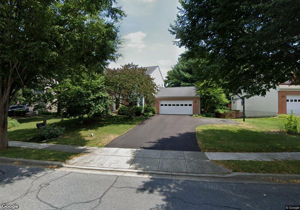
2012 Burnside Dr Frederick, MD 21702
Clover Hill NeighborhoodEstimated Value: $571,000 - $620,000
About This Home
This home is located at 2012 Burnside Dr, Frederick, MD 21702 and is currently estimated at $596,549. 2012 Burnside Dr is a home located in Frederick County with nearby schools including Monocacy Elementary School, Monocacy Middle School, and Gov. Thomas Johnson High School.
Ownership History
We collect this data history from publicly available records. To have your information removed, we recommend requesting removal directly through your county’s website.
Purchase Details
Home Financials for this Owner
Home Financials are based on the most recent Mortgage that was taken out on this home.Purchase Details
Home Values in the Area
Average Home Value in this Area
Purchase History
We collect this data history from publicly available records. To have your information removed, we recommend requesting removal directly through your county’s website.
| Date | Buyer | Sale Price | Title Company |
|---|---|---|---|
| $380,000 | -- | ||
| $202,000 | -- |
Mortgage History
We collect this data history from publicly available records. To have your information removed, we recommend requesting removal directly through your county’s website.
| Date | Status | Borrower | Loan Amount |
|---|---|---|---|
| Open | $280,000 | ||
| Previous Owner | $50,000 |
Tax History
We collect this data history from publicly available records. To have your information removed, we recommend requesting removal directly through your county’s website.
| Year | Tax Paid | Tax Assessment Tax Assessment Total Assessment is a certain percentage of the fair market value that is determined by local assessors to be the total taxable value of land and additions on the property. | Land | Improvement |
|---|---|---|---|---|
| 2025 | $7,181 | $481,800 | $115,600 | $366,200 |
| 2024 | $7,181 | $437,600 | $0 | $0 |
| 2023 | $6,694 | $393,400 | $0 | $0 |
| 2022 | $6,279 | $349,200 | $105,600 | $243,600 |
| 2021 | $5,687 | $333,267 | $0 | $0 |
| 2020 | $5,687 | $317,333 | $0 | $0 |
| 2019 | $5,417 | $301,400 | $95,600 | $205,800 |
| 2018 | $3,920 | $298,967 | $0 | $0 |
| 2017 | $5,324 | $301,400 | $0 | $0 |
| 2016 | $4,847 | $294,100 | $0 | $0 |
| 2015 | $4,847 | $283,767 | $0 | $0 |
| 2014 | $4,847 | $273,433 | $0 | $0 |
Map
- 1943 Crossing Stone Ct
- 90 Howard Ct
- 100 Sunlight Dr
- 106 Sunlight Dr
- 94 George Thomas Dr
- 2063 Buell Dr
- 2089 Buell Dr
- 2002 Rosecrans Ct
- 107 Redcloud Ct
- 218 Harpers Way
- 169 Midsummer Dr
- 2039 Sumner Dr
- 1920 Moran Dr
- 248 Timber View Ct
- 126 Wheeler Ln
- 7172 Meadowbrooke Dr
- 209 Windom Way
- 1954 Moran Dr
- 7176 Meadowbrooke Dr
- 360 Shortleaf Cir
- 2010 Burnside Dr
- 2014 Burnside Dr
- 2011 Burnside Dr
- 2009 Burnside Dr
- 98 Burnside Ct
- 2016 Burnside Dr
- 96 Cumberland Ct
- 2007 Burnside Dr
- 2008 Burnside Dr
- 94 Cumberland Ct
- 98 Vicksburg Ct
- 100 Burnside Ct
- 2018 Burnside Dr
- 100 Cumberland Ct
- 2006 Burnside Dr
- 95 Vicksburg Ct
- 92 Cumberland Ct
- 2020 Burnside Dr
- 100 Vicksburg Ct
- 99 Burnside Ct
Ask me questions while you tour the home.