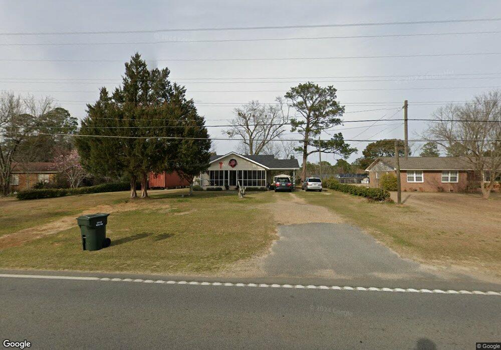
2012 Camilla Hwy Moultrie, GA 31768
Estimated Value: $105,000 - $184,000
--
Bed
2
Baths
1,386
Sq Ft
$102/Sq Ft
Est. Value
About This Home
This home is located at 2012 Camilla Hwy, Moultrie, GA 31768 and is currently estimated at $141,754, approximately $102 per square foot. 2012 Camilla Hwy is a home located in Colquitt County with nearby schools including Funston Elementary School, C.A. Gray Junior High School, and Willie J. Williams Middle School.
Ownership History
Date
Name
Owned For
Owner Type
Purchase Details
Closed on
Jan 8, 2024
Sold by
Cobb Robinson Ellen
Bought by
Bennett Drake M and Tanner James G
Current Estimated Value
Home Financials for this Owner
Home Financials are based on the most recent Mortgage that was taken out on this home.
Original Mortgage
$64,865
Outstanding Balance
$63,747
Interest Rate
7.03%
Mortgage Type
New Conventional
Estimated Equity
$78,007
Purchase Details
Closed on
Aug 19, 2015
Sold by
Hiers Linda Cobb
Bought by
Cobb Bobby L and Cobb Gayla K
Purchase Details
Closed on
Feb 3, 1989
Bought by
Cobb Bobby L
Create a Home Valuation Report for This Property
The Home Valuation Report is an in-depth analysis detailing your home's value as well as a comparison with similar homes in the area
Home Values in the Area
Average Home Value in this Area
Purchase History
| Date | Buyer | Sale Price | Title Company |
|---|---|---|---|
| Bennett Drake M | $75,000 | -- | |
| Cobb Robinson Ellen | -- | -- | |
| Cobb Gayla K | -- | -- | |
| Cobb Bobby L | $20,000 | -- | |
| Cobb Bobby L | $16,500 | -- |
Source: Public Records
Mortgage History
| Date | Status | Borrower | Loan Amount |
|---|---|---|---|
| Open | Cobb Gayla K | $64,865 |
Source: Public Records
Tax History Compared to Growth
Tax History
| Year | Tax Paid | Tax Assessment Tax Assessment Total Assessment is a certain percentage of the fair market value that is determined by local assessors to be the total taxable value of land and additions on the property. | Land | Improvement |
|---|---|---|---|---|
| 2024 | $1,720 | $43,175 | $2,600 | $40,575 |
| 2023 | $1,303 | $29,214 | $2,600 | $26,614 |
| 2022 | $955 | $28,535 | $2,600 | $25,935 |
| 2021 | $876 | $25,838 | $2,600 | $23,238 |
| 2020 | $891 | $25,838 | $2,600 | $23,238 |
| 2019 | $1,003 | $25,838 | $2,600 | $23,238 |
| 2018 | $1,032 | $25,838 | $2,600 | $23,238 |
| 2017 | $992 | $25,838 | $2,600 | $23,238 |
| 2016 | $1,032 | $25,838 | $2,600 | $23,238 |
| 2015 | $1,035 | $25,838 | $2,600 | $23,238 |
| 2014 | -- | $26,168 | $2,600 | $23,568 |
| 2013 | -- | $26,168 | $2,600 | $23,568 |
Source: Public Records
Map
Nearby Homes
- 2393 Georgia 37
- 216 Circle Rd
- 410 West Bypass NW
- 1321 Hallmark Dr
- 410 W Bypass Pass NW
- 722 Martin Luther King jr Dr
- 417 9th St NW
- 408 9th St NW
- 1208 Maple St
- 610 1st Ave NW
- 2010 West Blvd
- 521 5th Ave NW
- 618 2nd Ave SW
- 316 5th Ave NW
- 610 4th Ave SW
- 00 1st Ave SW
- 515 8th St SW
- 118 5th St SW
- 221 6th St SW
- 198 Westwoods Dr
- 2008 Camilla Hwy
- 2016 Camilla Hwy
- 2020 Camilla Hwy
- 2011 Magnolia Ave
- 2004 Camilla Hwy
- 2007 Magnolia Ave
- 2017 Magnolia Ave
- 2019 Magnolia Ave
- 2024 Camilla Hwy
- 2003 Magnolia Ave
- 1928 Camilla Hwy
- 2008 Magnolia Ave
- 2023 Magnolia Ave
- 2012 Magnolia Ave
- 1927 Magnolia Ave
- 2021 Camilla Hwy
- 2019 Camilla Hwy
- 2028 Camilla Hwy
- 2025 Camilla Hwy
- 2024 Magnolia Ave