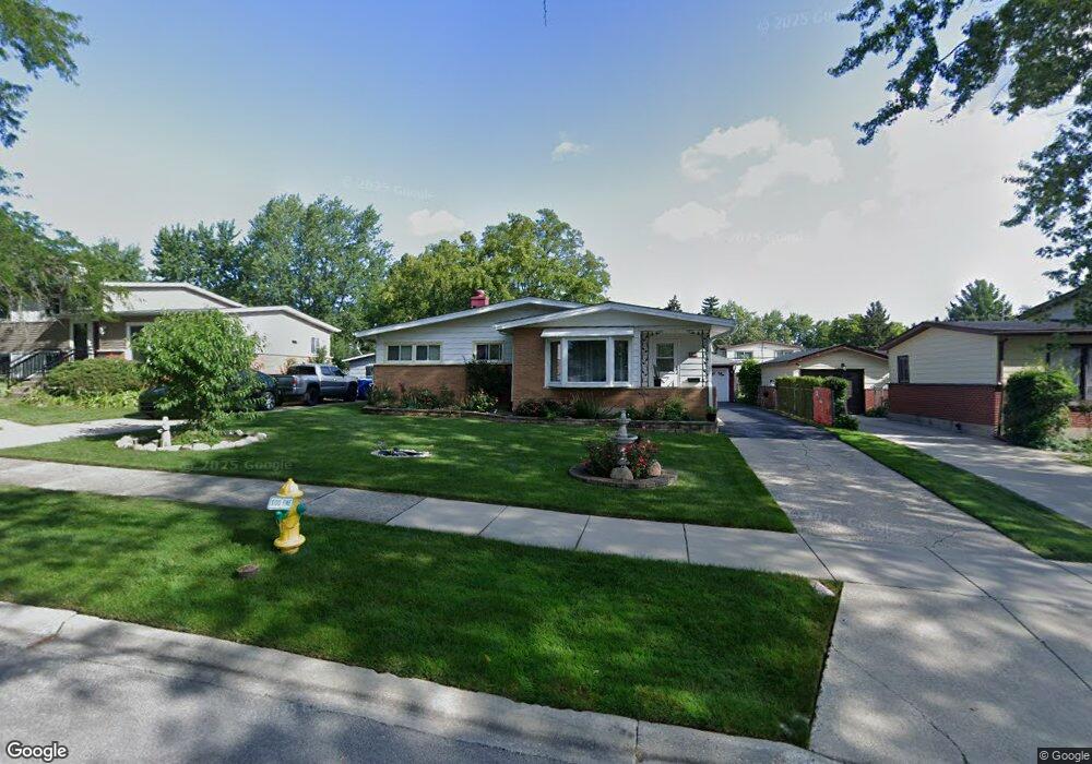
2012 Devonshire Rd Unit 1 Waukegan, IL 60087
Estimated Value: $227,000 - $282,000
3
Beds
1
Bath
1,081
Sq Ft
$235/Sq Ft
Est. Value
About This Home
This home is located at 2012 Devonshire Rd Unit 1, Waukegan, IL 60087 and is currently estimated at $254,149, approximately $235 per square foot. 2012 Devonshire Rd Unit 1 is a home located in Lake County with nearby schools including H R McCall Elementary School, Jack Benny Middle School, and Waukegan High School.
Ownership History
Date
Name
Owned For
Owner Type
Purchase Details
Closed on
Oct 27, 2000
Sold by
Rennick Ronald R and Rennick Mary L
Bought by
Lopez Francisco G
Current Estimated Value
Home Financials for this Owner
Home Financials are based on the most recent Mortgage that was taken out on this home.
Original Mortgage
$73,000
Outstanding Balance
$558
Interest Rate
7.96%
Estimated Equity
$253,591
Create a Home Valuation Report for This Property
The Home Valuation Report is an in-depth analysis detailing your home's value as well as a comparison with similar homes in the area
Purchase History
| Date | Buyer | Sale Price | Title Company |
|---|---|---|---|
| Lopez Francisco G | $123,000 | First American Title Ins |
Source: Public Records
Mortgage History
| Date | Status | Borrower | Loan Amount |
|---|---|---|---|
| Open | Lopez Francisco G | $73,000 |
Source: Public Records
Tax History
| Year | Tax Paid | Tax Assessment Tax Assessment Total Assessment is a certain percentage of the fair market value that is determined by local assessors to be the total taxable value of land and additions on the property. | Land | Improvement |
|---|---|---|---|---|
| 2024 | $4,834 | $65,604 | $10,899 | $54,705 |
| 2023 | $4,153 | $59,266 | $9,847 | $49,419 |
| 2022 | $4,153 | $48,484 | $8,444 | $40,040 |
| 2021 | $4,495 | $49,115 | $8,042 | $41,073 |
| 2020 | $4,507 | $45,756 | $7,492 | $38,264 |
| 2019 | $4,486 | $41,928 | $6,865 | $35,063 |
| 2018 | $3,854 | $36,165 | $8,832 | $27,333 |
| 2017 | $3,701 | $31,996 | $7,814 | $24,182 |
| 2016 | $3,372 | $27,803 | $6,790 | $21,013 |
| 2015 | $3,190 | $24,884 | $6,077 | $18,807 |
| 2014 | $3,100 | $23,865 | $6,135 | $17,730 |
| 2012 | $4,063 | $25,854 | $6,646 | $19,208 |
Source: Public Records
Map
Nearby Homes
- 2936 Witchwood Ln
- 1507 W York House Rd
- 3101 Country Club Ln
- 1730 W Beach Rd
- 2820 N Elmwood Ave
- 1403 W Beach Rd
- 2805 N Elmwood Ave
- 38169 N North Shore Ave
- 38132 N Manor Ave
- 38546 N Pine Ave
- 11471 W Leland Ave
- 38119 N Wilson Ave
- 38633 N Cedar Ave
- 2629 N Mcaree Rd
- 3805 Bertrand Ln
- 1136 10 Pin Ln
- 2605 N Pine St
- 11342-11364 W Wadsworth Rd
- 12346 W Sallmon Ave
- 38410 N Tewes Ct
- 2008 Devonshire Rd
- 2016 Devonshire Rd Unit 1
- 2004 Devonshire Rd
- 2013 Edgewood Rd Unit 1
- 2020 Devonshire Rd
- 2009 Edgewood Rd
- 2017 Edgewood Rd
- 2005 Edgewood Rd Unit 1
- 2021 Edgewood Rd
- 2024 Devonshire Rd
- 2013 Devonshire Rd
- 2000 Devonshire Rd
- 2017 Devonshire Rd
- 2009 Devonshire Rd
- 2001 Edgewood Rd Unit 1
- 2021 Devonshire Rd
- 2025 Edgewood Rd
- 2005 Devonshire Rd
- 2028 Devonshire Rd
- 3325 Bristol Rd
Your Personal Tour Guide
Ask me questions while you tour the home.