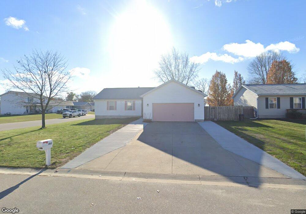
2012 Grant Place Port Huron, MI 48060
Estimated Value: $163,000 - $208,000
3
Beds
2
Baths
1,372
Sq Ft
$139/Sq Ft
Est. Value
About This Home
This home is located at 2012 Grant Place, Port Huron, MI 48060 and is currently estimated at $190,891, approximately $139 per square foot. 2012 Grant Place is a home located in St. Clair County with nearby schools including Cleveland Elementary School, Central Middle School, and Port Huron High School.
Ownership History
Date
Name
Owned For
Owner Type
Purchase Details
Closed on
Jan 16, 2007
Sold by
Mortgage Electronic Registration Systems
Bought by
Price Tanika
Current Estimated Value
Home Financials for this Owner
Home Financials are based on the most recent Mortgage that was taken out on this home.
Original Mortgage
$99,200
Outstanding Balance
$59,117
Interest Rate
6.16%
Mortgage Type
New Conventional
Estimated Equity
$131,774
Purchase Details
Closed on
Nov 18, 2005
Sold by
Miller Jennifer E
Bought by
Mers
Create a Home Valuation Report for This Property
The Home Valuation Report is an in-depth analysis detailing your home's value as well as a comparison with similar homes in the area
Home Values in the Area
Average Home Value in this Area
Purchase History
| Date | Buyer | Sale Price | Title Company |
|---|---|---|---|
| Price Tanika | $99,200 | Lapeer Title Agency | |
| Mers | $90,284 | None Available |
Source: Public Records
Mortgage History
| Date | Status | Borrower | Loan Amount |
|---|---|---|---|
| Open | Price Tanika | $99,200 |
Source: Public Records
Tax History Compared to Growth
Tax History
| Year | Tax Paid | Tax Assessment Tax Assessment Total Assessment is a certain percentage of the fair market value that is determined by local assessors to be the total taxable value of land and additions on the property. | Land | Improvement |
|---|---|---|---|---|
| 2025 | $2,268 | $93,500 | $0 | $0 |
| 2024 | $1,931 | $91,200 | $0 | $0 |
| 2023 | $1,824 | $81,000 | $0 | $0 |
| 2022 | $1,919 | $69,600 | $0 | $0 |
| 2021 | $1,821 | $63,100 | $0 | $0 |
| 2020 | $1,842 | $59,700 | $59,700 | $0 |
| 2019 | $1,809 | $43,300 | $0 | $0 |
| 2018 | $1,769 | $43,300 | $0 | $0 |
| 2017 | $1,579 | $39,100 | $0 | $0 |
| 2016 | $1,351 | $39,100 | $0 | $0 |
| 2015 | $1,326 | $38,900 | $38,900 | $0 |
| 2014 | $1,326 | $37,300 | $37,300 | $0 |
| 2013 | -- | $36,400 | $0 | $0 |
Source: Public Records
Map
Nearby Homes
- 9999 Cleveland Ave
- 3230 Ashland Ct
- 3136 Military St
- 2506 Vanness St
- 2511 Vanness St
- 2513 Vanness St
- 2600 Vanness St
- 2702 Vanness St
- 2627 24th St
- 3830 Military St
- 1403 Catherine McAuley Dr
- 2752 Military St
- 0 Dove Rd Unit G31368528
- 2718 Electric Ave
- 2724 Military St
- 9999 24th St
- 2704 Military St
- Lot 3 24th St
- 000 Gratiot Blvd
- 00 Gratiot Blvd
- 2020 Grant Place
- 2011 Grant Place
- 2011 Grant Place Unit PLC
- 2017 Grant Place
- 2023 Grant Place
- 2028 Grant Place
- 2104 Grant Place
- 2013 Thornhill St
- 2021 Thornhill St
- 1943 Grant Place
- 1937 Lakewood Ave
- 2027 Grant Place
- 2029 Thornhill St
- 1939 Grant Place
- 1933 Lakewood Ave
- 2103 Grant Place
- 2112 Grant Place
- 1935 Grant Place
- 2014 Thornhill St
- 2022 Thornhill St