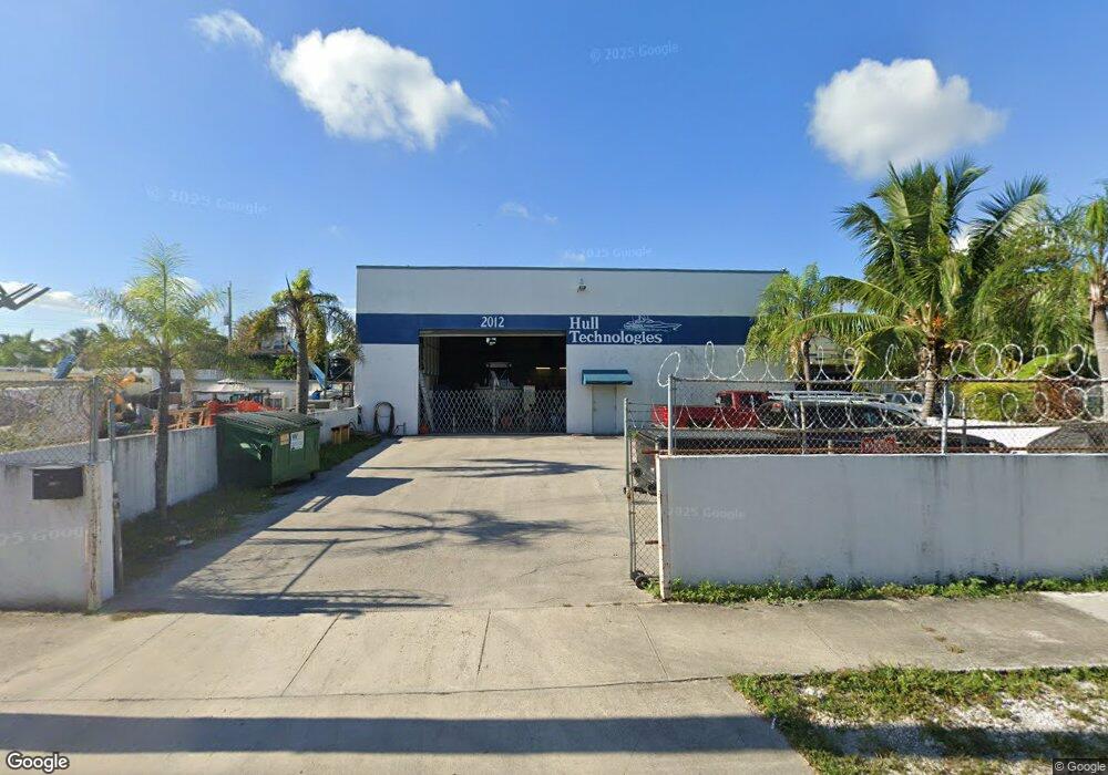
2012 Harding St Hollywood, FL 33020
Royal Poinciana Neighborhood
--
Bed
--
Bath
4,740
Sq Ft
4,792
Sq Ft Lot
About This Home
This home is located at 2012 Harding St, Hollywood, FL 33020. 2012 Harding St is a home located in Broward County with nearby schools including Dania Elementary School, Olsen Middle School, and South Broward High School.
Ownership History
Date
Name
Owned For
Owner Type
Purchase Details
Closed on
Dec 6, 2012
Sold by
Nagelbush Limited Partnership
Bought by
Kaleda 1 Properties Llc
Home Financials for this Owner
Home Financials are based on the most recent Mortgage that was taken out on this home.
Original Mortgage
$305,500
Outstanding Balance
$135,458
Interest Rate
3.43%
Mortgage Type
Future Advance Clause Open End Mortgage
Purchase Details
Closed on
Dec 4, 2002
Sold by
Mankuta David B
Bought by
Nagelbush Ltd Partnership
Purchase Details
Closed on
Jan 4, 2002
Sold by
Harding Street Llc
Bought by
Mankuta David B
Home Financials for this Owner
Home Financials are based on the most recent Mortgage that was taken out on this home.
Original Mortgage
$300,000
Interest Rate
6.72%
Mortgage Type
Commercial
Purchase Details
Closed on
Sep 1, 1992
Sold by
Available Not
Bought by
Available Not
Create a Home Valuation Report for This Property
The Home Valuation Report is an in-depth analysis detailing your home's value as well as a comparison with similar homes in the area
Home Values in the Area
Average Home Value in this Area
Purchase History
| Date | Buyer | Sale Price | Title Company |
|---|---|---|---|
| Kaleda 1 Properties Llc | $540,000 | Attorney | |
| Nagelbush Ltd Partnership | -- | -- | |
| Mankuta David B | $400,000 | -- | |
| Available Not | $150,000 | -- |
Source: Public Records
Mortgage History
| Date | Status | Borrower | Loan Amount |
|---|---|---|---|
| Open | Kaleda 1 Properties Llc | $305,500 | |
| Previous Owner | Mankuta David B | $300,000 |
Source: Public Records
Tax History Compared to Growth
Tax History
| Year | Tax Paid | Tax Assessment Tax Assessment Total Assessment is a certain percentage of the fair market value that is determined by local assessors to be the total taxable value of land and additions on the property. | Land | Improvement |
|---|---|---|---|---|
| 2025 | $14,066 | $664,990 | -- | -- |
| 2024 | $12,099 | $664,990 | $96,550 | $464,550 |
| 2023 | $12,099 | $549,590 | $0 | $0 |
| 2022 | $10,763 | $499,630 | $96,550 | $403,080 |
| 2021 | $10,237 | $462,210 | $96,550 | $365,660 |
| 2020 | $10,040 | $452,010 | $96,550 | $355,460 |
| 2019 | $10,361 | $452,010 | $96,550 | $355,460 |
| 2018 | $10,091 | $450,560 | $96,550 | $354,010 |
| 2017 | $9,822 | $435,070 | $0 | $0 |
| 2016 | $9,446 | $402,030 | $0 | $0 |
| 2015 | $8,998 | $365,490 | $0 | $0 |
| 2014 | $8,970 | $362,590 | $0 | $0 |
| 2013 | -- | $330,990 | $96,550 | $234,440 |
Source: Public Records
Map
Nearby Homes
- 1917 Harding St
- 1913 Harding St
- 1918 Taft St
- 1708 N Dixie Hwy
- 1853 Taft St
- 1820 Coolidge St
- 2001 N 22nd Ave
- 1954 Thomas St
- 1923 Roosevelt St
- 1812 Coolidge St
- 1955 Thomas St
- 2205 Coolidge St
- 2218 Harding St
- 1611 N 22nd Ave
- 2235 Coolidge St
- 2210 Roosevelt St
- 1812 Roosevelt St
- 1924 Sheridan St
- 1818 Sherman St
- 2236 Taft St
- 1912 N 20th Ave Unit CENTER
- 1912 N 20th Ave Unit Rear
- 1912 N 20th Ave
- 2000 Harding St
- 1903 N 20th Ave Unit 1-2
- 1903 N 20th Ave
- 2016 Harding St
- 2008 Coolidge St
- 1922 N 20th Ave
- 1928 N 20th Ave
- 2025 Harding St
- 2015 Coolidge St
- 1951 Harding St
- 1813 N 20th Ave
- 1949 Harding St
- 1948 Coolidge St
- 1956 Harding St Unit 1
- 1956 Harding St
- 2000 Coolidge St