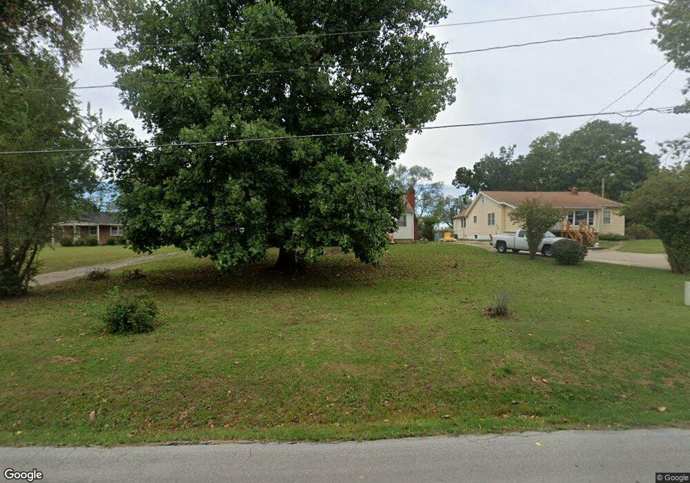
2012 James Downey Rd Independence, MO 64057
Bridger NeighborhoodEstimated Value: $187,039 - $230,000
2
Beds
1
Bath
1,217
Sq Ft
$168/Sq Ft
Est. Value
About This Home
This home is located at 2012 James Downey Rd, Independence, MO 64057 and is currently estimated at $205,010, approximately $168 per square foot. 2012 James Downey Rd is a home located in Jackson County with nearby schools including Blackburn Elementary School, Bridger Middle School, and Bingham Middle School.
Ownership History
Date
Name
Owned For
Owner Type
Purchase Details
Closed on
Dec 18, 2025
Sold by
Millsap & Singer Pc
Bought by
Rocket Mortgage Llc
Current Estimated Value
Purchase Details
Closed on
Aug 7, 2014
Sold by
Thompson Terrell W and Buchanan Vicky
Bought by
Thompson Terrell W
Home Financials for this Owner
Home Financials are based on the most recent Mortgage that was taken out on this home.
Original Mortgage
$38,503
Interest Rate
4.16%
Mortgage Type
FHA
Create a Home Valuation Report for This Property
The Home Valuation Report is an in-depth analysis detailing your home's value as well as a comparison with similar homes in the area
Home Values in the Area
Average Home Value in this Area
Purchase History
| Date | Buyer | Sale Price | Title Company |
|---|---|---|---|
| Rocket Mortgage Llc | $122,500 | None Listed On Document | |
| Thompson Terrell W | -- | Title Source Inc |
Source: Public Records
Mortgage History
| Date | Status | Borrower | Loan Amount |
|---|---|---|---|
| Previous Owner | Thompson Terrell W | $38,503 |
Source: Public Records
Tax History
| Year | Tax Paid | Tax Assessment Tax Assessment Total Assessment is a certain percentage of the fair market value that is determined by local assessors to be the total taxable value of land and additions on the property. | Land | Improvement |
|---|---|---|---|---|
| 2025 | $1,553 | $21,860 | $8,195 | $13,665 |
| 2024 | $1,553 | $22,422 | $6,587 | $15,835 |
| 2023 | $1,518 | $22,422 | $5,900 | $16,522 |
| 2022 | $1,221 | $16,530 | $3,316 | $13,214 |
| 2021 | $1,220 | $16,530 | $3,316 | $13,214 |
| 2020 | $1,192 | $15,691 | $3,316 | $12,375 |
| 2019 | $1,173 | $15,691 | $3,316 | $12,375 |
| 2018 | $1,214 | $15,502 | $3,627 | $11,875 |
| 2017 | $1,214 | $15,502 | $3,627 | $11,875 |
| 2016 | $1,196 | $15,114 | $3,327 | $11,787 |
| 2014 | $1,136 | $14,674 | $3,230 | $11,444 |
Source: Public Records
Map
Nearby Homes
- 2018 James Downey Rd
- 2100 James Downey Rd
- 16805 Sunset Dr
- 1800 S M 291 Hwy
- 5218 Indiana Ave
- 1721 S Ellison Way
- 1909 S Ellison Way
- 1704 Highland Dr
- 16208 E Sea Ave
- 1611 S Queen Ridge Way
- 1602 S Queen Ridge Way
- 1225 Berry Rd
- 1215 Berry Rd
- 2417 S Ellison Way
- 2527 Queen Ridge Dr
- 2608 Baker Rd
- 17504 E R D Mize Rd
- 17813 E 26th St S
- 2805 Berry Ave
- 2431 S Ponca Ave
- 2006 James Downey Rd
- 2015 James Downey Rd
- 2007 James Downey Rd
- 2000 James Downey Rd
- 2024 James Downey Rd
- 2019 James Downey Rd
- 2001 James Downey Rd
- 1934 James Downey Rd
- 2025 James Downey Rd
- 2030 James Downey Rd
- 1922 James Downey Rd
- 2031 James Downey Rd
- 2001 S State Route 291
- 1929 James Downey Rd
- 1931 James Downey Rd
- 1916 James Downey Rd
- 1917 James Downey Rd
- 1928 Belmont Blvd
- 2101 James Downey Rd
- 1932 Belmont Blvd
Your Personal Tour Guide
Ask me questions while you tour the home.