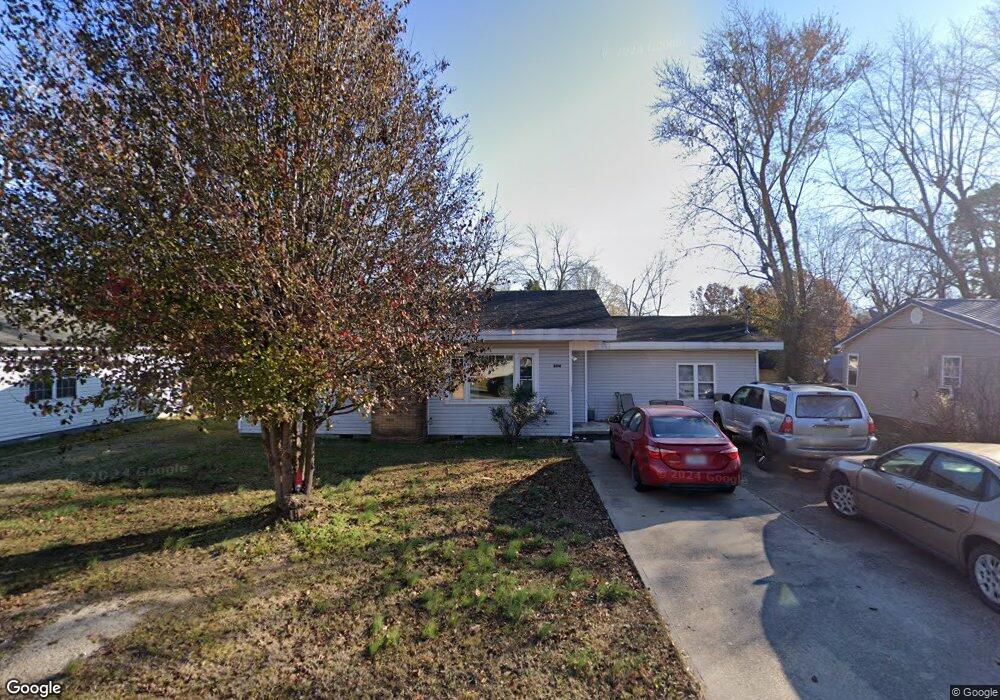
2012 Kentucky Ave Poplar Bluff, MO 63901
Estimated Value: $62,000 - $120,000
Studio
--
Bath
1,338
Sq Ft
$70/Sq Ft
Est. Value
About This Home
This home is located at 2012 Kentucky Ave, Poplar Bluff, MO 63901 and is currently estimated at $94,092, approximately $70 per square foot. 2012 Kentucky Ave is a home with nearby schools including Eugene Field Elementary School, Poplar Bluff Fifth & Sixth Grade Center, and Poplar Bluff Junior High School.
Ownership History
Date
Name
Owned For
Owner Type
Purchase Details
Closed on
Nov 10, 2010
Sold by
Wilson Kim and Wilson Therisia
Bought by
Aud Kathy E
Current Estimated Value
Home Financials for this Owner
Home Financials are based on the most recent Mortgage that was taken out on this home.
Original Mortgage
$58,528
Outstanding Balance
$37,954
Interest Rate
4.32%
Mortgage Type
Future Advance Clause Open End Mortgage
Estimated Equity
$56,138
Create a Home Valuation Report for This Property
The Home Valuation Report is an in-depth analysis detailing your home's value as well as a comparison with similar homes in the area
Home Values in the Area
Average Home Value in this Area
Purchase History
| Date | Buyer | Sale Price | Title Company |
|---|---|---|---|
| Aud Kathy E | -- | -- |
Source: Public Records
Mortgage History
| Date | Status | Borrower | Loan Amount |
|---|---|---|---|
| Open | Aud Kathy E | $58,528 |
Source: Public Records
Tax History
| Year | Tax Paid | Tax Assessment Tax Assessment Total Assessment is a certain percentage of the fair market value that is determined by local assessors to be the total taxable value of land and additions on the property. | Land | Improvement |
|---|---|---|---|---|
| 2025 | $498 | $10,550 | $0 | $0 |
| 2024 | $5 | $9,760 | $0 | $0 |
| 2023 | $472 | $9,760 | $0 | $0 |
| 2022 | $390 | $8,090 | $0 | $0 |
| 2021 | $390 | $8,090 | $0 | $0 |
| 2020 | $380 | $7,770 | $0 | $0 |
| 2019 | $378 | $7,770 | $0 | $0 |
| 2018 | $378 | $7,770 | $0 | $0 |
| 2017 | -- | $7,770 | $0 | $0 |
| 2016 | -- | $7,770 | $0 | $0 |
| 2015 | -- | $7,770 | $0 | $0 |
| 2014 | -- | $7,240 | $0 | $0 |
| 2012 | $311 | $7,310 | $0 | $0 |
Source: Public Records
Map
Nearby Homes
- 2017 Tennessee St
- 1620 Thomas St
- 2320 Thomas St
- 251 Hampton Ct
- 518 W Victor St
- 2335 Cheshire Blvd
- 713 W Victor St
- 625 Dewey St
- 912 Delano St
- 1300 Highway 53
- 1000 W Victor St
- 2325 Mangold St
- 2324 Pike St
- 0 County Road 605
- 693 County Road 605
- 439 Short A St
- 816 Kendall Dr
- 234 S Riverview Dr
- 23 Prenzel Rd
- 225 S 6th St
- 2008 Kentucky Ave
- 2014 Kentucky Ave
- 2011 Kentucky Ave
- 2009 Kentucky Ave
- 2016 Kentucky Ave
- 2004 Kentucky Ave
- 2029 Tennessee St
- 2017 Kentucky Ave
- 2005 Kentucky Ave
- 2025 Tennessee St
- 2018 Kentucky Ave
- 2021 Tennessee St
- 2033 Tennessee St
- 2019 Kentucky Ave
- 2013 Tennessee St
- 2003 Kentucky Ave
- 2037 Tennessee St
- 2007 Tennessee St
- 2000 Kentucky Ave
- 317 W Midland St
Your Personal Tour Guide
Ask me questions while you tour the home.