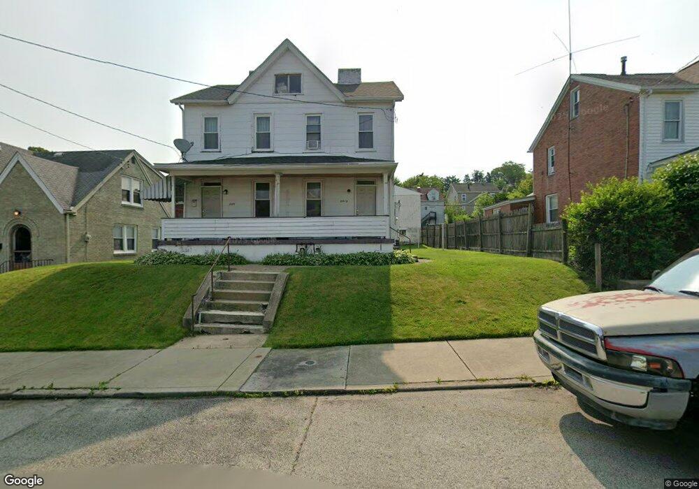
2012 Leishman Ave Unit 14 New Kensington, PA 15068
Estimated Value: $52,157 - $107,000
--
Bed
--
Bath
--
Sq Ft
7,231
Sq Ft Lot
About This Home
This home is located at 2012 Leishman Ave Unit 14, New Kensington, PA 15068 and is currently estimated at $87,789. 2012 Leishman Ave Unit 14 is a home located in Westmoreland County with nearby schools including Mary Queen of Apostles School.
Ownership History
Date
Name
Owned For
Owner Type
Purchase Details
Closed on
Jun 11, 2025
Sold by
Tolle Ronald David
Bought by
Tolle Ronald Thomas
Current Estimated Value
Purchase Details
Closed on
Nov 2, 2007
Sold by
Reighard Thomas H and Reighard Donna S
Bought by
Tolle Ronald D
Home Financials for this Owner
Home Financials are based on the most recent Mortgage that was taken out on this home.
Original Mortgage
$39,841
Interest Rate
6.42%
Mortgage Type
Purchase Money Mortgage
Create a Home Valuation Report for This Property
The Home Valuation Report is an in-depth analysis detailing your home's value as well as a comparison with similar homes in the area
Home Values in the Area
Average Home Value in this Area
Purchase History
| Date | Buyer | Sale Price | Title Company |
|---|---|---|---|
| Tolle Ronald Thomas | -- | None Listed On Document | |
| Tolle Ronald D | $37,250 | None Available |
Source: Public Records
Mortgage History
| Date | Status | Borrower | Loan Amount |
|---|---|---|---|
| Previous Owner | Tolle Ronald D | $39,841 |
Source: Public Records
Tax History Compared to Growth
Tax History
| Year | Tax Paid | Tax Assessment Tax Assessment Total Assessment is a certain percentage of the fair market value that is determined by local assessors to be the total taxable value of land and additions on the property. | Land | Improvement |
|---|---|---|---|---|
| 2025 | $2,368 | $13,840 | $4,200 | $9,640 |
| 2024 | $2,348 | $13,840 | $4,200 | $9,640 |
| 2023 | $2,230 | $13,840 | $4,200 | $9,640 |
| 2022 | $2,167 | $13,840 | $4,200 | $9,640 |
| 2021 | $2,121 | $13,840 | $4,200 | $9,640 |
| 2020 | $2,080 | $13,840 | $4,200 | $9,640 |
| 2019 | $2,073 | $13,840 | $4,200 | $9,640 |
| 2018 | $2,045 | $13,840 | $4,200 | $9,640 |
| 2017 | $2,045 | $13,840 | $4,200 | $9,640 |
| 2016 | $2,045 | $13,840 | $4,200 | $9,640 |
| 2015 | $2,045 | $13,840 | $4,200 | $9,640 |
| 2014 | $1,974 | $13,840 | $4,200 | $9,640 |
Source: Public Records
Map
Nearby Homes
- 2004 Victoria Ave
- 2004 Woodmont Ave
- 2016 Kenneth Ave
- 2105 Victoria Ave
- 1919 Victoria Ave
- 2015 Kenneth Ave
- 1915 Woodmont Ave
- 1909 Woodmont Ave
- 2112 Kenneth Ave
- 2014 Constitution Blvd
- 344 Iroquois Dr
- 1818 Kenneth Ave
- 1802 Alcoa Dr
- 1810 Ridge Ave
- 1407 Drey St Unit 29
- 1809 Kimball Ave
- 170 Esther Ave
- 381 Camp Ave
- 1802 Kimball Ave
- 1734 Constitution Blvd
- 2010 Leishman Ave
- 2016 Leishman Ave
- 2008 Leishman Ave
- 2018 Leishman Ave
- 2022 Leishman Ave
- 2004 Leishman Ave
- 2004 Leishman Ave
- 2015 Victoria Ave
- 2013 Victoria Ave
- 2011 Victoria Ave
- 2019 Victoria Ave Unit 30
- 2002 Leishman Ave
- 2017 Victoria Ave
- 2007 Victoria Ave
- 2015 Leishman Ave
- 2013 Leishman Ave
- 2024 Leishman Ave
- 2011 Leishman Ave
- 2021 Victoria Ave Unit 30
- 2009 Leishman Ave