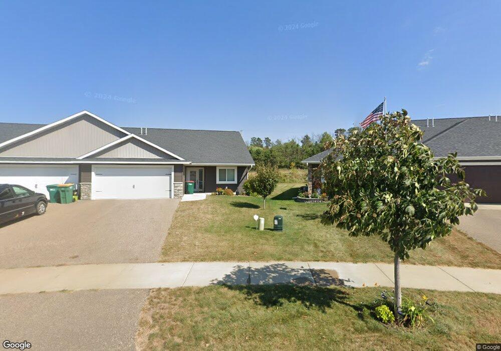
2012 Michael Ln River Falls, WI 54022
Estimated Value: $321,000 - $459,000
3
Beds
2
Baths
1,444
Sq Ft
$260/Sq Ft
Est. Value
About This Home
This home is located at 2012 Michael Ln, River Falls, WI 54022 and is currently estimated at $376,146, approximately $260 per square foot. 2012 Michael Ln is a home located in Pierce County with nearby schools including Rocky Branch Elementary School, Meyer Middle School, and River Falls High School.
Ownership History
Date
Name
Owned For
Owner Type
Purchase Details
Closed on
Apr 11, 2023
Sold by
Helmer Milton T
Bought by
Helmer Carol J
Current Estimated Value
Purchase Details
Closed on
Jun 29, 2021
Sold by
Pasquarette Roy Michael
Bought by
Helmer Milton T and Helmer Carol J
Home Financials for this Owner
Home Financials are based on the most recent Mortgage that was taken out on this home.
Original Mortgage
$39,200
Interest Rate
2.9%
Mortgage Type
New Conventional
Purchase Details
Closed on
May 15, 2020
Sold by
Pasquarette Roy M
Bought by
Pasquarette Danielle N and Sponseller Luke
Purchase Details
Closed on
Apr 22, 2019
Sold by
Hubsy Homes Llc
Bought by
Pasquarette Roy Michael
Purchase Details
Closed on
Jun 29, 2018
Sold by
Gtmz Llc
Bought by
Husby Homes Llc
Create a Home Valuation Report for This Property
The Home Valuation Report is an in-depth analysis detailing your home's value as well as a comparison with similar homes in the area
Home Values in the Area
Average Home Value in this Area
Purchase History
| Date | Buyer | Sale Price | Title Company |
|---|---|---|---|
| Helmer Carol J | $257,900 | Joel D. Schlitz | |
| Helmer Milton T | $305,000 | Edina Realty Title | |
| Pasquarette Danielle N | -- | None Available | |
| Pasquarette Roy Michael | $237,500 | None Available | |
| Husby Homes Llc | $40,000 | None Available |
Source: Public Records
Mortgage History
| Date | Status | Borrower | Loan Amount |
|---|---|---|---|
| Previous Owner | Helmer Milton T | $39,200 |
Source: Public Records
Tax History Compared to Growth
Tax History
| Year | Tax Paid | Tax Assessment Tax Assessment Total Assessment is a certain percentage of the fair market value that is determined by local assessors to be the total taxable value of land and additions on the property. | Land | Improvement |
|---|---|---|---|---|
| 2024 | $5,012 | $237,500 | $24,000 | $213,500 |
| 2023 | $4,870 | $237,500 | $24,000 | $213,500 |
| 2022 | $4,014 | $237,500 | $24,000 | $213,500 |
| 2021 | $4,005 | $237,500 | $24,000 | $213,500 |
| 2020 | $3,332 | $141,500 | $16,500 | $125,000 |
| 2019 | $3,276 | $141,500 | $16,500 | $125,000 |
| 2018 | $386 | $16,500 | $16,500 | $0 |
Source: Public Records
Map
Nearby Homes
- 168 Raymond Ave
- 176 Raymond Ave
- 1794 Bennett St
- 1836 Greenwood Valley Dr
- 1762 Bennett St
- 133 Butternut Ct
- 2323 Aurora Cir
- 1335 Oak St
- 1450 Foster St
- N8147 1015th St
- 451 E Johnson St
- TBD 1015th St
- 543 Hamilton Ct
- W10006 State Road 29
- 410 River Hills Rd
- 367 Foster St
- 749 River Ridge Ct
- 415 River Hills Rd
- 1807 Morning Glory Dr
- 520 River Hills Dr
- 2016 Michael Ln
- 2009 Michael Ln
- 2028 Michael Ln
- 1998 Michael Ln
- 2023 Michael Ln
- 2034 Michael Ln
- 1992 Michael Ln
- 1988 Michael Ln
- 2044 Michael Ln
- 2039 Michael Ln
- 1898 Bennett St
- 1898 Bennett St Unit 62
- 1980 Michael Ln
- 2050 Michael Ln
- 1896 Bennett St
- 1960 Lexi St
- 1972 Michael Ln
- 2053 Michael Ln
- 1982 Lexi St
- 2062 Michael Ln