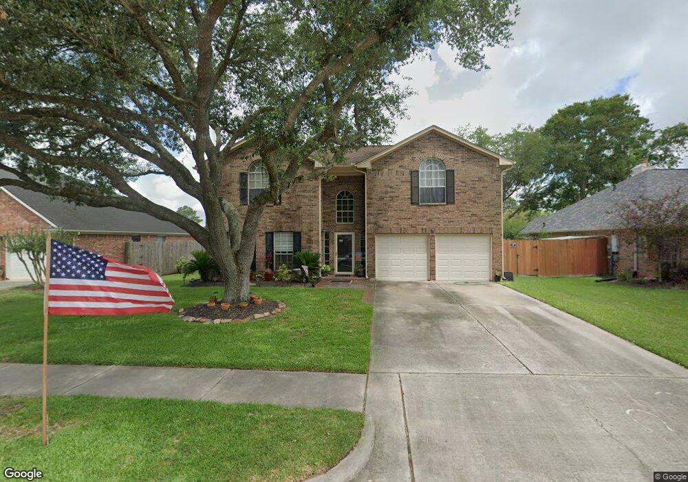
2012 N Mission Cir Friendswood, TX 77546
Estimated Value: $400,309 - $406,000
--
Bed
3
Baths
2,759
Sq Ft
$146/Sq Ft
Est. Value
About This Home
This home is located at 2012 N Mission Cir, Friendswood, TX 77546 and is currently estimated at $403,077, approximately $146 per square foot. 2012 N Mission Cir is a home located in Galveston County with nearby schools including C.W. Cline Elementary School, Windsong Elementary School, and Friendswood Junior High School.
Ownership History
Date
Name
Owned For
Owner Type
Purchase Details
Closed on
Feb 27, 2001
Sold by
Beaty Roy and Beaty Linda
Bought by
Mcmahon Andrew J and Mcmahon Marcia K
Current Estimated Value
Home Financials for this Owner
Home Financials are based on the most recent Mortgage that was taken out on this home.
Original Mortgage
$150,100
Outstanding Balance
$54,451
Interest Rate
6.97%
Estimated Equity
$348,626
Create a Home Valuation Report for This Property
The Home Valuation Report is an in-depth analysis detailing your home's value as well as a comparison with similar homes in the area
Home Values in the Area
Average Home Value in this Area
Purchase History
| Date | Buyer | Sale Price | Title Company |
|---|---|---|---|
| Mcmahon Andrew J | -- | Texas American Title Company |
Source: Public Records
Mortgage History
| Date | Status | Borrower | Loan Amount |
|---|---|---|---|
| Open | Mcmahon Andrew J | $150,100 |
Source: Public Records
Tax History Compared to Growth
Tax History
| Year | Tax Paid | Tax Assessment Tax Assessment Total Assessment is a certain percentage of the fair market value that is determined by local assessors to be the total taxable value of land and additions on the property. | Land | Improvement |
|---|---|---|---|---|
| 2025 | $5,758 | $393,310 | $29,450 | $363,860 |
| 2024 | $5,758 | $373,712 | -- | -- |
| 2023 | $5,758 | $339,738 | $0 | $0 |
| 2022 | $6,803 | $308,853 | $0 | $0 |
| 2021 | $6,558 | $334,860 | $29,450 | $305,410 |
| 2020 | $6,149 | $255,250 | $29,450 | $225,800 |
| 2019 | $6,673 | $262,780 | $29,450 | $233,330 |
| 2018 | $6,838 | $267,720 | $29,450 | $238,270 |
| 2017 | $6,621 | $272,590 | $29,450 | $243,140 |
| 2016 | $6,019 | $248,300 | $29,450 | $218,850 |
| 2015 | $1,914 | $214,720 | $29,450 | $185,270 |
| 2014 | $1,802 | $191,550 | $29,450 | $162,100 |
Source: Public Records
Map
Nearby Homes
- 1804 San Jose St
- 1910 N Mission Cir
- 2211 S Mission Cir
- 40 Windsong Ln
- 1804 Anna Way
- 601 E Castle Harbour Dr
- 1718 Avery Ln
- 644 E Castle Harbour Dr
- 2117 San Miguel Dr
- 2605 S Mission Cir
- 1804 Sandy Lake Dr
- 111 Dunbar Unit 501
- 1536 River Point Dr
- 2411 Lakeway Dr
- 2512 Ravenna Ct
- 2314 Leslies Ct
- Jade Plan at Avalon at Friendswood - 60s
- Palladium Plan at Avalon at Friendswood - 70s
- Regatta Plan at Avalon at Friendswood - 60s
- Calypso Plan at Avalon at Friendswood - 70s
- 2010 N Mission Cir
- 2008 N Mission Cir
- 2016 N Mission Cir
- 1801 Desota St
- 1802 La Salle St
- 2013 Stapleton Dr
- 2011 Stapleton Dr
- 2006 N Mission Cir
- 2015 Stapleton Dr
- 1803 Desota St
- 1802 Desota St
- 1804 La Salle St
- 2009 Stapleton Dr
- 2004 N Mission Cir
- 1804 Desota St
- 1801 La Salle St
- 2007 Stapleton Dr
- 1806 La Salle St
- 1805 Desota St
- 1803 La Salle St