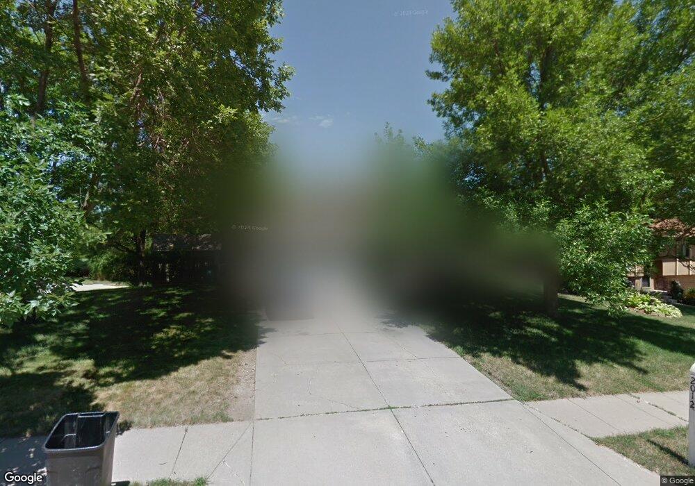
2012 Nottingham Dr Bellevue, NE 68123
Estimated Value: $267,739 - $311,000
3
Beds
5
Baths
1,643
Sq Ft
$175/Sq Ft
Est. Value
About This Home
This home is located at 2012 Nottingham Dr, Bellevue, NE 68123 and is currently estimated at $287,935, approximately $175 per square foot. 2012 Nottingham Dr is a home located in Sarpy County with nearby schools including Fort Crook Elementary School, Bellevue Mission Middle School, and Bellevue West High School.
Ownership History
Date
Name
Owned For
Owner Type
Purchase Details
Closed on
Oct 5, 1999
Sold by
Shaak Thomas L and Shaak Margaret J
Bought by
Sanders Keith Alan and Sanders Linnae Lea
Current Estimated Value
Home Financials for this Owner
Home Financials are based on the most recent Mortgage that was taken out on this home.
Original Mortgage
$114,200
Interest Rate
7.83%
Create a Home Valuation Report for This Property
The Home Valuation Report is an in-depth analysis detailing your home's value as well as a comparison with similar homes in the area
Home Values in the Area
Average Home Value in this Area
Purchase History
| Date | Buyer | Sale Price | Title Company |
|---|---|---|---|
| Sanders Keith Alan | $112,000 | -- |
Source: Public Records
Mortgage History
| Date | Status | Borrower | Loan Amount |
|---|---|---|---|
| Closed | Sanders Keith Alan | $114,200 |
Source: Public Records
Tax History
| Year | Tax Paid | Tax Assessment Tax Assessment Total Assessment is a certain percentage of the fair market value that is determined by local assessors to be the total taxable value of land and additions on the property. | Land | Improvement |
|---|---|---|---|---|
| 2025 | $3,672 | $233,589 | $42,000 | $191,589 |
| 2024 | $4,203 | $211,307 | $36,000 | $175,307 |
| 2023 | $4,203 | $199,059 | $33,000 | $166,059 |
| 2022 | $3,728 | $173,237 | $28,000 | $145,237 |
| 2021 | $3,407 | $156,631 | $28,000 | $128,631 |
| 2020 | $3,236 | $148,277 | $24,000 | $124,277 |
| 2019 | $2,976 | $137,229 | $24,000 | $113,229 |
| 2018 | $2,712 | $128,429 | $20,000 | $108,429 |
| 2017 | $2,518 | $118,402 | $20,000 | $98,402 |
| 2016 | $2,830 | $136,022 | $20,000 | $116,022 |
| 2015 | $2,763 | $133,579 | $20,000 | $113,579 |
| 2014 | $2,689 | $129,186 | $20,000 | $109,186 |
| 2012 | -- | $128,154 | $20,000 | $108,154 |
Source: Public Records
Map
Nearby Homes
- 2303 Coventry Dr
- 13507 Innis Cir
- 2504 Century Rd
- 0000 Cedar Island Road East of Old 36th St
- 2711 Lynnwood Dr
- 1508 Old Gaelic St
- 14106 S 21st St
- 12901 S 29th Place
- 14002 Tregaron Ridge Ave Unit B
- 2924 Blackhawk Cir
- 2917 Daniell Cir
- 13910 Kelly Dr
- 2920 Leawood Dr
- 13007 S 29th Ave
- 40.48 Acres
- 14313 S 20th St
- 3004 Lone Tree Rd
- 3102 Lone Tree Rd
- 1928 Canyon St
- 3110 Jason Cir
- 2010 Nottingham Dr
- 13305 S 21st St
- 13308 S 21st St
- 13306 S 21st St
- 2008 Nottingham Dr
- 2009 Nottingham Dr
- 2101 Nottingham Dr
- 13303 S 21st St
- 2103 Nottingham Dr
- 2005 Nottingham Dr
- 13302 S 21st St
- 13301 S 21st St
- 2105 Nottingham Dr
- 2115 Brighton Dr
- 2108 Nottingham Dr
- 2003 Nottingham Dr
- 2012 Whitted Dr
- 2117 Brighton Dr
- 2113 Brighton Dr
- 2010 Whitted Dr
Your Personal Tour Guide
Ask me questions while you tour the home.