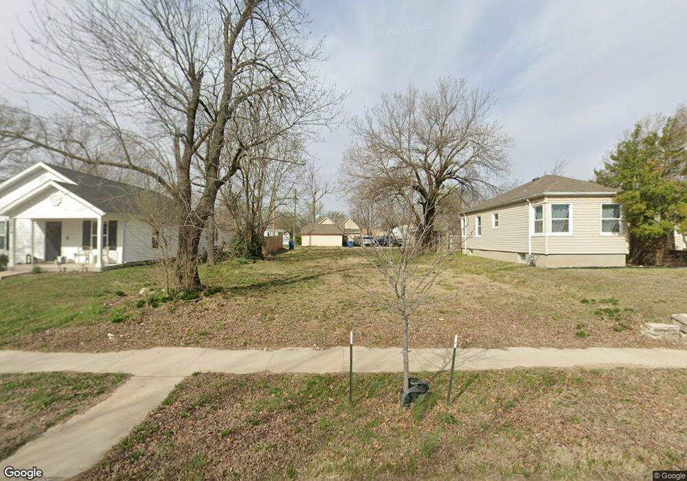
2012 S Connor Ave Joplin, MO 64804
Blendville South NeighborhoodEstimated Value: $227,000 - $360,000
--
Bed
1
Bath
788
Sq Ft
$360/Sq Ft
Est. Value
About This Home
This home is located at 2012 S Connor Ave, Joplin, MO 64804 and is currently estimated at $284,000, approximately $360 per square foot. 2012 S Connor Ave is a home located in Jasper County with nearby schools including Cecil Floyd Elementary School, North Middle School, and Joplin High School.
Ownership History
Date
Name
Owned For
Owner Type
Purchase Details
Closed on
Sep 23, 2025
Sold by
Coulter Laura Ann
Bought by
Land Scout Llc
Current Estimated Value
Purchase Details
Closed on
Jun 15, 2006
Sold by
Burnham Arlan C and Burnham Ruby L
Bought by
Coulter Dennis and Coulter Laura Ann
Home Financials for this Owner
Home Financials are based on the most recent Mortgage that was taken out on this home.
Original Mortgage
$27,500
Interest Rate
6.58%
Mortgage Type
Seller Take Back
Purchase Details
Closed on
May 10, 2006
Sold by
M & M Rentals Llc
Bought by
Burnham Arlan C and Burnham Ruby L
Home Financials for this Owner
Home Financials are based on the most recent Mortgage that was taken out on this home.
Original Mortgage
$27,500
Interest Rate
6.58%
Mortgage Type
Seller Take Back
Create a Home Valuation Report for This Property
The Home Valuation Report is an in-depth analysis detailing your home's value as well as a comparison with similar homes in the area
Home Values in the Area
Average Home Value in this Area
Purchase History
| Date | Buyer | Sale Price | Title Company |
|---|---|---|---|
| Land Scout Llc | -- | None Listed On Document | |
| Land Scout Llc | -- | None Listed On Document | |
| Coulter Dennis | -- | Abbey | |
| Burnham Arlan C | -- | Abbey |
Source: Public Records
Mortgage History
| Date | Status | Borrower | Loan Amount |
|---|---|---|---|
| Previous Owner | Coulter Dennis | $27,500 |
Source: Public Records
Tax History Compared to Growth
Tax History
| Year | Tax Paid | Tax Assessment Tax Assessment Total Assessment is a certain percentage of the fair market value that is determined by local assessors to be the total taxable value of land and additions on the property. | Land | Improvement |
|---|---|---|---|---|
| 2025 | $56 | $1,210 | $1,210 | -- |
| 2024 | $56 | $1,210 | $1,210 | -- |
| 2023 | $56 | $1,210 | $1,210 | $0 |
| 2022 | $301 | $6,550 | $1,210 | $5,340 |
| 2021 | $299 | $6,550 | $1,210 | $5,340 |
| 2020 | $286 | $6,120 | $1,210 | $4,910 |
| 2019 | $286 | $6,120 | $1,210 | $4,910 |
| 2018 | $279 | $5,980 | $0 | $0 |
| 2017 | $280 | $5,980 | $0 | $0 |
| 2016 | $276 | $5,980 | $0 | $0 |
| 2015 | $276 | $5,980 | $0 | $0 |
| 2014 | $276 | $5,980 | $0 | $0 |
Source: Public Records
Map
Nearby Homes
- 2026 Bird Ave
- 2031 Murphy Ave
- 1916 S Murphy Ave
- 2216 & 1/2 S Connor Ave
- 1814 S Sergeant Ave
- 2109 S Moffet Ave
- 1815 S Picher Ave
- 1901 S Moffet Ave
- 1815 S Empire Ave
- 2115 Byers Ave
- 1701 S Jackson Ave
- 1620 S Connor Ave
- 1619 S Murphy Ave
- 1417 W 20th St
- 2121 S Pearl Ave
- 2118 S Wall Ave
- 1730 Annie Baxter Ave
- 2108 S Harlem Ave
- 2114 S Joplin Ave
- 1507 S Sergeant Ave
- 2006 S Connor Ave
- 2014 S Connor Ave
- 2018 S Connor Ave
- 2002 S Connor Ave
- 2011 Bird Ave
- 2024 S Connor Ave
- 2005 Bird Ave
- 2017 Bird Ave
- 2003 Bird Ave
- 2003 Bird Ave
- 2021 Bird Ave
- 2015 S Connor Ave
- 2007 S Connor Ave
- 2017 S Connor Ave
- 2027 Bird Ave
- 2005 S Connor Ave
- 2019 S Connor Ave
- 2001 Bird Ave
- 2001 S Connor Ave
- 2025 S Connor Ave