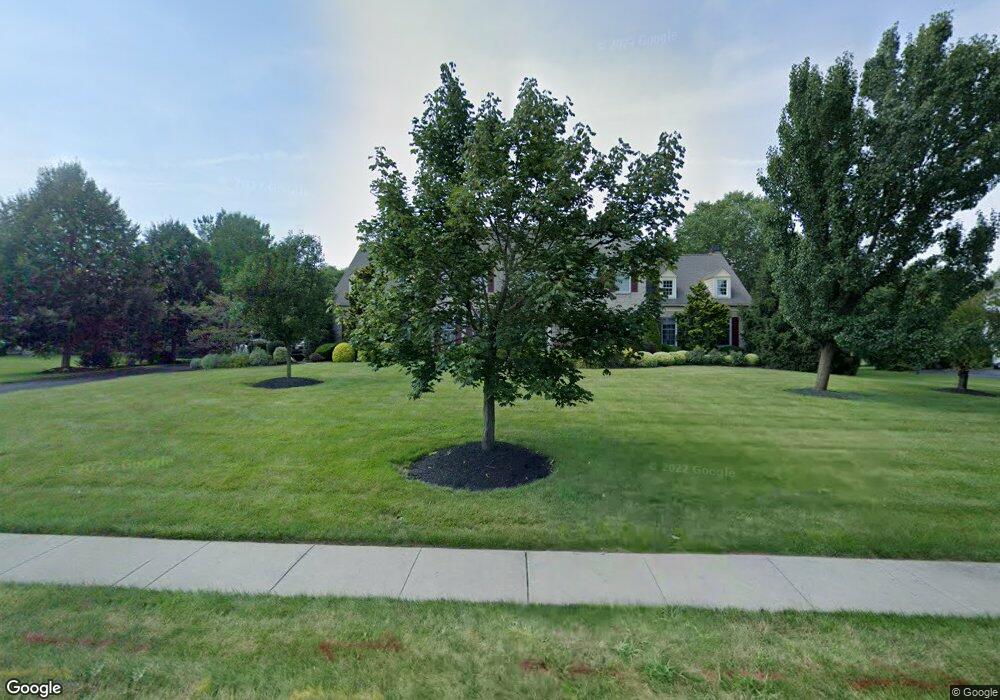
2012 Silverwood Dr Newtown, PA 18940
Estimated Value: $1,048,000 - $1,417,000
5
Beds
3
Baths
3,219
Sq Ft
$382/Sq Ft
Est. Value
About This Home
This home is located at 2012 Silverwood Dr, Newtown, PA 18940 and is currently estimated at $1,230,794, approximately $382 per square foot. 2012 Silverwood Dr is a home located in Bucks County with nearby schools including Afton Elementary School, William Penn Middle School, and Pennsbury High School.
Ownership History
Date
Name
Owned For
Owner Type
Purchase Details
Closed on
Jan 22, 2018
Sold by
Iannacone Michael R and Iannacone Joanne M
Bought by
Iannacone Michael R and Iannacone Joanne M
Current Estimated Value
Purchase Details
Closed on
Jun 22, 2001
Sold by
Peterson Roger D and Peterson Lisa Marie
Bought by
Iannacone Michael R and Iannacone Joanne M
Home Financials for this Owner
Home Financials are based on the most recent Mortgage that was taken out on this home.
Original Mortgage
$275,000
Outstanding Balance
$105,212
Interest Rate
7.2%
Estimated Equity
$1,125,582
Purchase Details
Closed on
Sep 11, 1998
Sold by
Dolington Estates Lp
Bought by
Peterson Roger D and Peterson Lisa Marie
Home Financials for this Owner
Home Financials are based on the most recent Mortgage that was taken out on this home.
Original Mortgage
$300,050
Interest Rate
6.87%
Create a Home Valuation Report for This Property
The Home Valuation Report is an in-depth analysis detailing your home's value as well as a comparison with similar homes in the area
Home Values in the Area
Average Home Value in this Area
Purchase History
| Date | Buyer | Sale Price | Title Company |
|---|---|---|---|
| Iannacone Michael R | -- | Doylestown Abst | |
| Iannacone Michael R | $591,000 | -- | |
| Peterson Roger D | $393,559 | -- |
Source: Public Records
Mortgage History
| Date | Status | Borrower | Loan Amount |
|---|---|---|---|
| Open | Iannacone Michael R | $275,000 | |
| Previous Owner | Peterson Roger D | $300,050 | |
| Closed | Iannacone Michael R | $75,000 |
Source: Public Records
Tax History Compared to Growth
Tax History
| Year | Tax Paid | Tax Assessment Tax Assessment Total Assessment is a certain percentage of the fair market value that is determined by local assessors to be the total taxable value of land and additions on the property. | Land | Improvement |
|---|---|---|---|---|
| 2025 | $17,749 | $74,960 | $10,880 | $64,080 |
| 2024 | $17,749 | $74,960 | $10,880 | $64,080 |
| 2023 | $16,859 | $74,960 | $10,880 | $64,080 |
| 2022 | $16,494 | $74,960 | $10,880 | $64,080 |
| 2021 | $16,232 | $74,960 | $10,880 | $64,080 |
| 2020 | $16,232 | $74,960 | $10,880 | $64,080 |
| 2019 | $15,910 | $74,960 | $10,880 | $64,080 |
| 2018 | $15,631 | $74,960 | $10,880 | $64,080 |
| 2017 | $15,147 | $74,960 | $10,880 | $64,080 |
| 2016 | $14,971 | $74,960 | $10,880 | $64,080 |
| 2015 | -- | $74,960 | $10,880 | $64,080 |
| 2014 | -- | $74,960 | $10,880 | $64,080 |
Source: Public Records
Map
Nearby Homes
- 2036 Silverwood Dr
- 910 Old Dolington Rd
- 2 Old Barn Ct
- 21 Belamour Dr
- 1092 S Kimbles Rd
- 29 Sunnyside Ln
- 25 Hillyer Ln
- 1768 Ashbourne Dr
- 1789 Wrightstown Rd
- 3 Stonebridge Crossing Rd
- 22 Delaney Dr
- 69 Hillyer Ln
- 1566 Woodside Rd
- 52 Yorkshire Dr
- 1659 Wrightstown Rd
- 1720 Jockeys Way
- 44 Aster Way
- 140 Glenwood Dr
- 1045 Washington Crossing Rd
- 21 Violet Ln Unit 161A
- 2014 Silverwood Dr
- 2010 Silverwood Dr
- 2008 Silverwood Dr
- 2011 Silverwood Dr
- 2009 Silverwood Dr
- 2016 Silverwood Dr
- 2015 Silverwood Dr
- 2007 Silverwood Dr
- 691 Washington Crossing Rd
- 2006 Silverwood Dr
- 650 Washington Crossing Rd
- 801 Balderston Dr
- 2018 Silverwood Dr
- 2001 Silverwood Dr
- 2021 Silverwood Dr
- 805 Balderston Dr
- 2018 Beacon Hill Dr
- 2022 Beacon Hill Dr
- 2020 Silverwood Dr
- 2026 Beacon Hill Dr