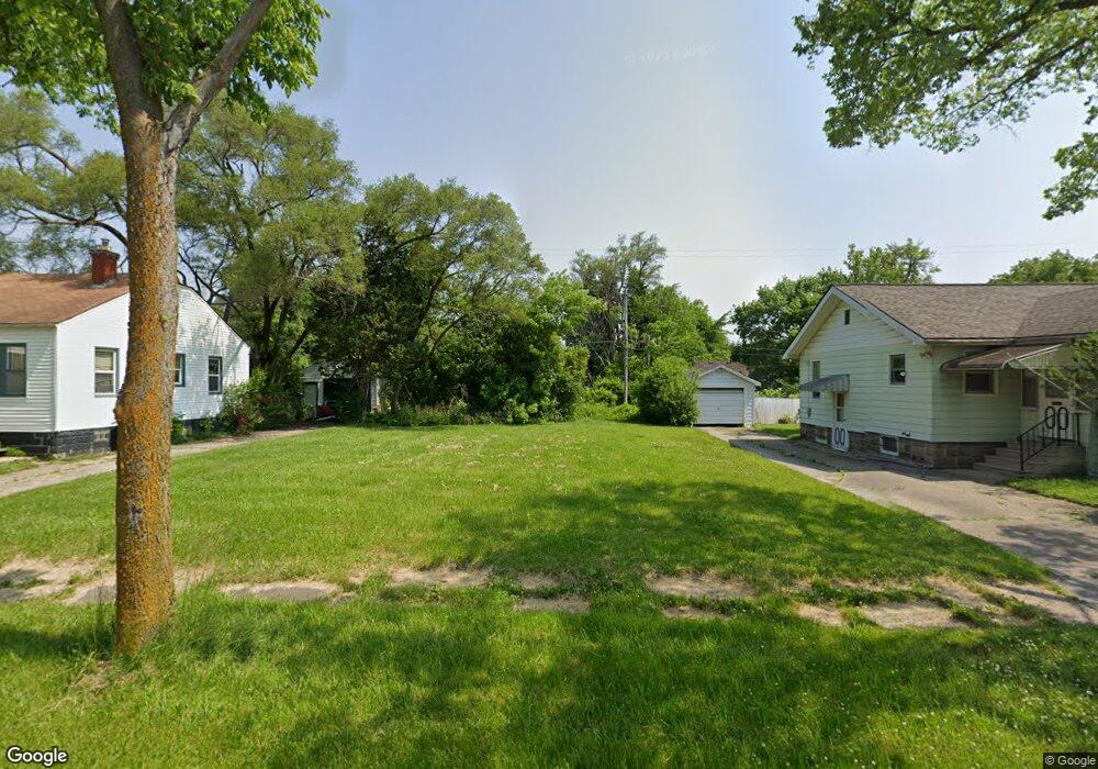
2012 Stevenson St Flint, MI 48504
Ballenger Park NeighborhoodEstimated Value: $25,035 - $116,000
2
Beds
1
Bath
672
Sq Ft
$83/Sq Ft
Est. Value
About This Home
This home is located at 2012 Stevenson St, Flint, MI 48504 and is currently estimated at $55,678, approximately $82 per square foot. 2012 Stevenson St is a home located in Genesee County with nearby schools including Durant-Tuuri-Mott Elementary School, St John Vianney Catholic School, and St. Paul Lutheran School.
Ownership History
Date
Name
Owned For
Owner Type
Purchase Details
Closed on
Nov 19, 2013
Sold by
State Of Michigan
Bought by
Genesee County Land Bank Authority
Current Estimated Value
Purchase Details
Closed on
Nov 8, 2013
Sold by
Genesee County Land Bank Authority
Bought by
State Of Michigan and Land Bank Fast Track Authority
Purchase Details
Closed on
Dec 20, 2012
Sold by
Cherry Deborah L
Bought by
Genesee County Land Bank
Purchase Details
Closed on
Jul 28, 2004
Sold by
Ruhstorfer Bernadette J
Bought by
Blough Steven
Create a Home Valuation Report for This Property
The Home Valuation Report is an in-depth analysis detailing your home's value as well as a comparison with similar homes in the area
Home Values in the Area
Average Home Value in this Area
Purchase History
| Date | Buyer | Sale Price | Title Company |
|---|---|---|---|
| Genesee County Land Bank Authority | -- | None Available | |
| State Of Michigan | -- | None Available | |
| Genesee County Land Bank | -- | None Available | |
| Blough Steven | $21,000 | First American Title |
Source: Public Records
Tax History
| Year | Tax Paid | Tax Assessment Tax Assessment Total Assessment is a certain percentage of the fair market value that is determined by local assessors to be the total taxable value of land and additions on the property. | Land | Improvement |
|---|---|---|---|---|
| 2025 | -- | $0 | $0 | $0 |
| 2024 | -- | $0 | $0 | $0 |
| 2023 | -- | $0 | $0 | $0 |
| 2022 | $0 | $0 | $0 | $0 |
| 2021 | $0 | $0 | $0 | $0 |
| 2020 | $0 | $0 | $0 | $0 |
| 2019 | $0 | $0 | $0 | $0 |
| 2018 | $0 | $0 | $0 | $0 |
| 2017 | $0 | $0 | $0 | $0 |
| 2016 | $0 | $0 | $0 | $0 |
| 2015 | -- | $0 | $0 | $0 |
| 2014 | -- | $0 | $0 | $0 |
| 2012 | -- | $8,500 | $0 | $0 |
Source: Public Records
Map
Nearby Homes
- 2001 Mackin Rd
- 1717 Wolcott St
- 2410 Sloan St
- 1409 Prospect St
- 2602 Sloan St
- 1025 Frost St
- 2023 Cadillac St
- 2509 Barth St
- 2302 Mallery St
- 1016 Dupont St
- 971 N Chevrolet Ave
- 913 Perry St
- 1900 Cadillac St
- 1220 Forest Hill Ave
- 2513 Tiffin St
- 1651 N Chevrolet Ave
- 2424 Begole St
- 1645 Seminole St
- 2612 Concord St
- 2622 Concord St
- 2016 Stevenson St
- 2008 Stevenson St
- 2020 Stevenson St
- 2011 Wolcott St
- 2002 Stevenson St
- 2015 Wolcott St
- 2007 Wolcott St
- 2019 Wolcott St
- 2001 Wolcott St
- 2102 Stevenson St
- 2011 Stevenson St
- 2015 Stevenson St
- 2007 Stevenson St
- 2101 Wolcott St
- 2019 Stevenson St
- 2001 Stevenson St
- 2106 Stevenson St
- 2101 Stevenson St
- 2105 Wolcott St
- 2110 Stevenson St
Your Personal Tour Guide
Ask me questions while you tour the home.