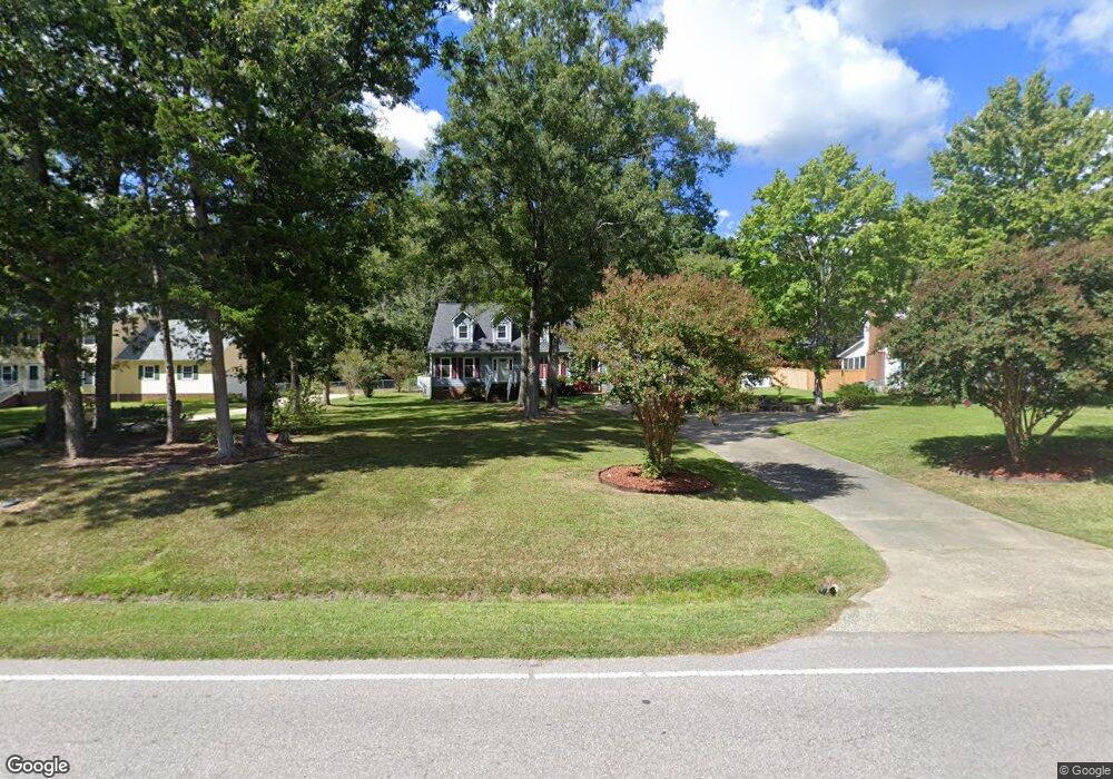
2012 Umstead Rd Durham, NC 27712
North Durham NeighborhoodEstimated Value: $462,176 - $514,000
3
Beds
3
Baths
2,264
Sq Ft
$212/Sq Ft
Est. Value
About This Home
This home is located at 2012 Umstead Rd, Durham, NC 27712 and is currently estimated at $479,544, approximately $211 per square foot. 2012 Umstead Rd is a home located in Durham County with nearby schools including Eno Valley Elementary, George L Carrington Middle, and Northern High School.
Ownership History
Date
Name
Owned For
Owner Type
Purchase Details
Closed on
Dec 15, 2004
Sold by
Cendant Mobility Government Financial Se
Bought by
Pugh Carolyn B
Current Estimated Value
Home Financials for this Owner
Home Financials are based on the most recent Mortgage that was taken out on this home.
Original Mortgage
$143,200
Outstanding Balance
$78,836
Interest Rate
7.25%
Mortgage Type
Purchase Money Mortgage
Estimated Equity
$400,708
Purchase Details
Closed on
Aug 2, 2004
Sold by
Nolan Melissa T
Bought by
Cendant Mobility Government Financial Se
Create a Home Valuation Report for This Property
The Home Valuation Report is an in-depth analysis detailing your home's value as well as a comparison with similar homes in the area
Home Values in the Area
Average Home Value in this Area
Purchase History
| Date | Buyer | Sale Price | Title Company |
|---|---|---|---|
| Pugh Carolyn B | $179,000 | -- | |
| Cendant Mobility Government Financial Se | $185,000 | -- |
Source: Public Records
Mortgage History
| Date | Status | Borrower | Loan Amount |
|---|---|---|---|
| Open | Pugh Carolyn B | $143,200 | |
| Closed | Pugh Carolyn B | $35,800 |
Source: Public Records
Tax History
| Year | Tax Paid | Tax Assessment Tax Assessment Total Assessment is a certain percentage of the fair market value that is determined by local assessors to be the total taxable value of land and additions on the property. | Land | Improvement |
|---|---|---|---|---|
| 2025 | $3,271 | $463,425 | $105,625 | $357,800 |
| 2024 | $2,764 | $272,195 | $63,262 | $208,933 |
| 2023 | $2,622 | $272,195 | $63,262 | $208,933 |
| 2022 | $2,519 | $272,195 | $63,262 | $208,933 |
| 2021 | $2,306 | $272,195 | $63,262 | $208,933 |
| 2020 | $2,259 | $272,195 | $63,262 | $208,933 |
| 2019 | $2,259 | $272,195 | $63,262 | $208,933 |
| 2018 | $2,376 | $265,965 | $42,175 | $223,790 |
| 2017 | $2,350 | $265,965 | $42,175 | $223,790 |
| 2016 | $2,250 | $265,965 | $42,175 | $223,790 |
| 2015 | $1,979 | $204,485 | $49,460 | $155,025 |
| 2014 | $1,979 | $204,485 | $49,460 | $155,025 |
Source: Public Records
Map
Nearby Homes
- 1011 Umstead Rd
- 1013 Umstead Rd
- 9 Otters Run
- 2222 Umstead Rd
- 5120 Raintree Rd
- 1113 Umstead Grove Way
- 109 November Dr
- 111 November Dr
- 1708 Mystic Dr
- 204 Accura Ct
- 3103 Broomsedge Way
- 2811 Reynolda Cir
- 316 Continental Dr
- 411 Latta Cir
- 405 Latta Rd
- 5803 Lillie Dr
- 12 Crail Ct
- 1621 Bramble Dr
- 3026 Rosebriar Dr
- 3023 Pump Station Ln
- 2008 Umstead Rd
- 2020 Umstead Rd
- 2048 Umstead Rd
- 112 N Riverdale Dr
- 118 N Riverdale Dr
- 2002 Umstead Rd
- 2015 Umstead Rd
- 104 N Riverdale Dr
- 8 Sunny Oaks Place
- 12 Sunny Oaks Place
- 2009 Umstead Rd
- 1920 Umstead Rd
- 124 N Riverdale Dr
- 16 Sunny Oaks Place
- 20 Clover Hill Place
- 1914 Umstead Rd
- 2031 Umstead Rd
- 19 Clover Hill Place
- 2 Otters Run
- 111 N Riverdale Dr
Your Personal Tour Guide
Ask me questions while you tour the home.