2012 W 11970 S Riverton, UT 84065
Estimated Value: $497,000 - $534,000
4
Beds
2
Baths
866
Sq Ft
$589/Sq Ft
Est. Value
About This Home
This home is located at 2012 W 11970 S, Riverton, UT 84065 and is currently estimated at $510,346, approximately $589 per square foot. 2012 W 11970 S is a home located in Salt Lake County with nearby schools including Rosamond Elementary School, Oquirrh Hills Middle School, and Riverton High School.
Ownership History
Date
Name
Owned For
Owner Type
Purchase Details
Closed on
Aug 23, 2005
Sold by
Frank Dale E
Bought by
Frank Dale E and Frank Brenda J
Current Estimated Value
Home Financials for this Owner
Home Financials are based on the most recent Mortgage that was taken out on this home.
Original Mortgage
$123,373
Outstanding Balance
$64,601
Interest Rate
5.61%
Mortgage Type
FHA
Estimated Equity
$445,745
Purchase Details
Closed on
Jan 25, 1999
Sold by
Gibson Carl N
Bought by
Frank Dale E
Home Financials for this Owner
Home Financials are based on the most recent Mortgage that was taken out on this home.
Original Mortgage
$112,572
Interest Rate
6.63%
Mortgage Type
FHA
Purchase Details
Closed on
Nov 17, 1993
Sold by
Gibson Carl N and Gibson Alice M
Bought by
Gibson Carl N and Gibson Alice M
Create a Home Valuation Report for This Property
The Home Valuation Report is an in-depth analysis detailing your home's value as well as a comparison with similar homes in the area
Home Values in the Area
Average Home Value in this Area
Purchase History
| Date | Buyer | Sale Price | Title Company |
|---|---|---|---|
| Frank Dale E | -- | Founders Title | |
| Frank Dale E | -- | Founders Title | |
| Frank Dale E | -- | Salt Lake Title | |
| Gibson Carl N | -- | -- |
Source: Public Records
Mortgage History
| Date | Status | Borrower | Loan Amount |
|---|---|---|---|
| Open | Frank Dale E | $123,373 | |
| Closed | Frank Dale E | $123,373 | |
| Closed | Frank Dale E | $112,572 |
Source: Public Records
Tax History Compared to Growth
Tax History
| Year | Tax Paid | Tax Assessment Tax Assessment Total Assessment is a certain percentage of the fair market value that is determined by local assessors to be the total taxable value of land and additions on the property. | Land | Improvement |
|---|---|---|---|---|
| 2025 | $2,542 | $446,700 | $216,500 | $230,200 |
| 2024 | $2,542 | $439,900 | $212,600 | $227,300 |
| 2023 | $2,467 | $402,500 | $196,800 | $205,700 |
| 2022 | $2,590 | $414,600 | $193,000 | $221,600 |
| 2021 | $2,226 | $317,300 | $144,700 | $172,600 |
| 2020 | $1,985 | $263,800 | $129,700 | $134,100 |
| 2019 | $1,983 | $259,000 | $117,900 | $141,100 |
| 2018 | $1,863 | $239,600 | $117,900 | $121,700 |
| 2017 | $1,774 | $222,400 | $117,900 | $104,500 |
| 2016 | $1,767 | $212,500 | $106,200 | $106,300 |
| 2015 | $1,824 | $212,700 | $108,000 | $104,700 |
| 2014 | $1,762 | $201,400 | $103,000 | $98,400 |
Source: Public Records
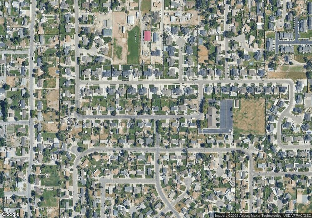
Map
Nearby Homes
- 12034 S 1900 W
- 2295 W Myers Ln
- 1721 W Hollow Cedar Ln Unit 1
- 11666 S Gold Dust Dr
- 11788 S Myers Park Ln Unit 101
- 1767 W Lunford Ln
- 11707 S Myers Park Ln Unit 111
- 1611 W Laurel Chase Dr
- 1661 W Madison View Dr
- 2511 W 11730 S
- 12317 S Redwood Rd
- 12325 S Redwood Rd
- 12345 S Redwood Rd
- 1592 W Andover Rd
- 11716 S 2610 W
- 11694 Stone Crest Cir
- 11711 Stone Crest Cir
- 11423 S Polo Club Ct
- 1410 W 12115 S
- 11784 Stone Ridge Ct
- 2028 W 11970 S
- 2004 W 11970 S
- 2029 W Bamberger Dr Unit 22
- 2007 W Bamberger Dr
- 2046 W 11970 S
- 1988 W 11970 S
- 2051 W Bamberger Dr
- 2027 W 11970 S
- 2005 W 11970 S
- 2045 W 11970 S
- 1989 W Bamberger Dr Unit 20
- 2066 W 11970 S
- 1972 W 11970 S
- 1987 W 11970 S
- 2067 W Bamberger Dr
- 2065 W 11970 S
- 2022 W Bamberger Dr Unit 8
- 2022 W Bamberger Dr
- 1971 W 11970 S
- 2022 W 12015 S