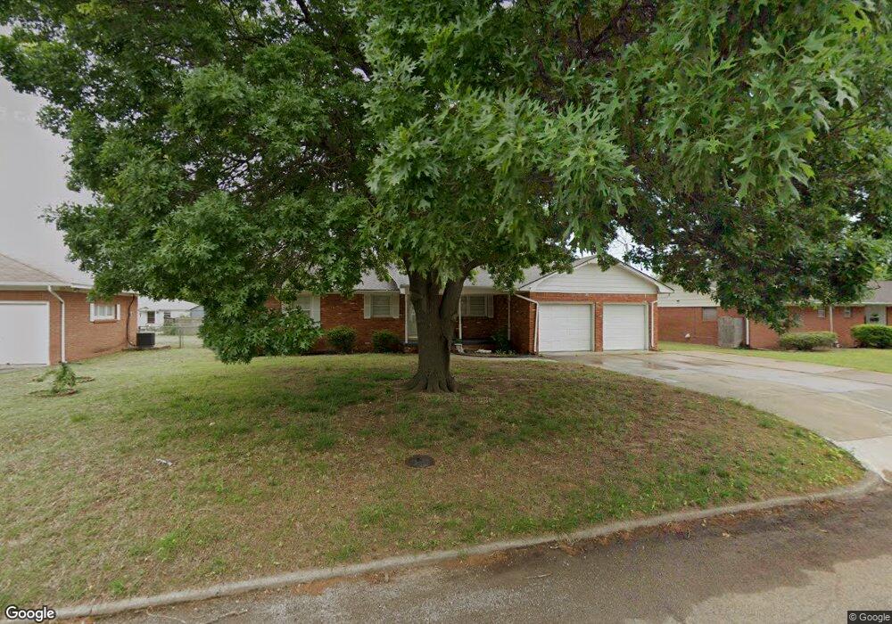
2012 W Holly Ave Duncan, OK 73533
Estimated Value: $127,614 - $142,000
3
Beds
2
Baths
1,389
Sq Ft
$98/Sq Ft
Est. Value
About This Home
This home is located at 2012 W Holly Ave, Duncan, OK 73533 and is currently estimated at $135,904, approximately $97 per square foot. 2012 W Holly Ave is a home located in Stephens County with nearby schools including Horace Mann Elementary School, Duncan Middle School, and Duncan High School.
Ownership History
Date
Name
Owned For
Owner Type
Purchase Details
Closed on
Jun 22, 2022
Sold by
Hightower Dennie J and Hightower Betty S
Bought by
Hightower Dennie J and Hightower Betty S
Current Estimated Value
Purchase Details
Closed on
Apr 23, 2003
Sold by
Benefield Nima
Bought by
Hightower Dennie J and Hightower Betty S
Purchase Details
Closed on
Jun 9, 1999
Sold by
Benefield Nima
Purchase Details
Closed on
Feb 5, 1993
Sold by
Kirkpatrick Mark J
Purchase Details
Closed on
Sep 1, 1992
Sold by
Walker Eleanore F
Purchase Details
Closed on
Aug 31, 1992
Sold by
Leuck Phillip J
Purchase Details
Closed on
Aug 7, 1991
Create a Home Valuation Report for This Property
The Home Valuation Report is an in-depth analysis detailing your home's value as well as a comparison with similar homes in the area
Purchase History
| Date | Buyer | Sale Price | Title Company |
|---|---|---|---|
| Hightower Dennie J | -- | None Listed On Document | |
| Hightower Dennie J | $60,000 | -- | |
| -- | -- | -- | |
| -- | $48,500 | -- | |
| -- | $39,500 | -- | |
| -- | $39,500 | -- | |
| -- | -- | -- |
Source: Public Records
Tax History
| Year | Tax Paid | Tax Assessment Tax Assessment Total Assessment is a certain percentage of the fair market value that is determined by local assessors to be the total taxable value of land and additions on the property. | Land | Improvement |
|---|---|---|---|---|
| 2025 | $844 | $10,013 | $876 | $9,137 |
| 2024 | $774 | $9,081 | $876 | $8,205 |
| 2023 | $774 | $9,082 | $876 | $8,206 |
| 2022 | $700 | $8,649 | $876 | $7,773 |
| 2021 | $668 | $7,845 | $876 | $6,969 |
| 2020 | $659 | $7,627 | $876 | $6,751 |
| 2019 | $678 | $7,833 | $876 | $6,957 |
| 2018 | $698 | $7,833 | $876 | $6,957 |
| 2017 | $697 | $8,112 | $876 | $7,236 |
| 2016 | $773 | $9,096 | $876 | $8,220 |
| 2015 | $702 | $8,663 | $876 | $7,787 |
| 2014 | $702 | $8,251 | $876 | $7,375 |
Source: Public Records
Map
Nearby Homes
- 2002 Redbud Ave
- 1928 W Parkview Ave
- 2206 W Spruce Ave
- 2210 Western Dr
- 1817 W Parkview Ave
- 1099 N 19th St
- 1902 W Randall Ave
- 903 N Harville Rd
- 1212 N 20th St
- 1311 Whisenant Ct
- 1309 Whisenant Ct
- 1905 W Ash Ave
- 209 N 22nd St
- 1705 W Ash Ave
- 174831 N 2844 Rd
- 1803 W Birch Ave
- 1315 W Spruce Ave
- 1309 W Spruce Ave
- 261 N 29th St
- 2202 Canary Ave
- 2010 W Holly Ave
- 2014 W Holly Ave
- 2011 W Cedar Ave
- 2013 W Cedar Ave
- 2008 W Holly Ave
- 2009 W Cedar Ave
- 2015 W Cedar Ave
- 2016 W Holly Ave
- 2011 W Holly Ave
- 2013 W Holly Ave
- 2009 W Holly Ave
- 2015 W Holly Ave
- 2007 W Cedar Ave
- 2009 2009 W Holly Ave
- 2006 W Holly Ave
- 2017 W Cedar Ave
- 2007 W Holly Ave
- 2017 W Holly Ave
- 2005 2005 W Cedar
- 2005 W Cedar Ave
Your Personal Tour Guide
Ask me questions while you tour the home.