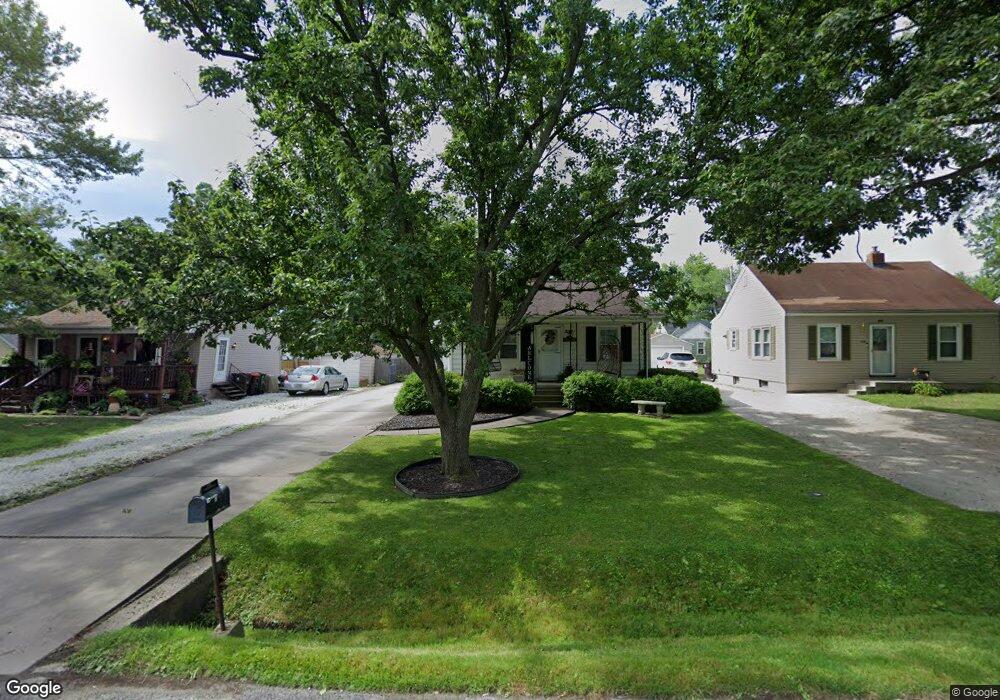
2012 W Richwoods Blvd Peoria, IL 61604
El Vista NeighborhoodEstimated Value: $82,860 - $96,000
2
Beds
1
Bath
984
Sq Ft
$92/Sq Ft
Est. Value
About This Home
This home is located at 2012 W Richwoods Blvd, Peoria, IL 61604 and is currently estimated at $90,965, approximately $92 per square foot. 2012 W Richwoods Blvd is a home with nearby schools including Dr Maude A Sanders Primary School, Sterling Middle School, and Peoria High School.
Ownership History
Date
Name
Owned For
Owner Type
Purchase Details
Closed on
Jun 21, 2023
Sold by
Svetich Dorothy J
Bought by
Wells Earl and Wells Sonia
Current Estimated Value
Purchase Details
Closed on
Jun 20, 2023
Sold by
Svetich Dorothy J and Svetich Stanley
Bought by
Wells Earl and Wells Sonia
Purchase Details
Closed on
Jun 15, 2001
Bought by
Svetich Stanley J and Svetich Dorothy J
Create a Home Valuation Report for This Property
The Home Valuation Report is an in-depth analysis detailing your home's value as well as a comparison with similar homes in the area
Home Values in the Area
Average Home Value in this Area
Purchase History
| Date | Buyer | Sale Price | Title Company |
|---|---|---|---|
| Wells Earl | $71,900 | None Listed On Document | |
| Wells Earl | $71,900 | None Listed On Document | |
| Svetich Stanley J | $65,000 | -- |
Source: Public Records
Tax History Compared to Growth
Tax History
| Year | Tax Paid | Tax Assessment Tax Assessment Total Assessment is a certain percentage of the fair market value that is determined by local assessors to be the total taxable value of land and additions on the property. | Land | Improvement |
|---|---|---|---|---|
| 2024 | $1,586 | $23,530 | $3,770 | $19,760 |
| 2023 | $2,031 | $21,590 | $3,460 | $18,130 |
| 2022 | $1,958 | $20,300 | $3,300 | $17,000 |
| 2021 | $1,922 | $19,330 | $3,140 | $16,190 |
| 2020 | $1,918 | $19,140 | $3,110 | $16,030 |
| 2019 | $1,946 | $19,530 | $3,170 | $16,360 |
| 2018 | $1,956 | $20,080 | $3,200 | $16,880 |
| 2017 | $1,955 | $20,280 | $3,230 | $17,050 |
| 2016 | $1,901 | $20,280 | $3,230 | $17,050 |
| 2015 | $1,903 | $19,890 | $3,170 | $16,720 |
| 2014 | $1,903 | $20,670 | $3,010 | $17,660 |
| 2013 | -- | $20,920 | $3,050 | $17,870 |
Source: Public Records
Map
Nearby Homes
- 2011 W Richwoods Blvd
- 2036 W Richwoods Blvd
- 2221 W Tripp Ave
- 2029 W Forrest Hill Ave
- 3720 N Saint Michael Ave
- 3423 N El Vista Ave
- 2318 W Albany Ave
- 2315 W Hudson St
- 2214 W Bainter Ln
- 3623 N Sterling Ave Unit b-17
- 2909 N Mission Rd
- 2822 N Easton Place
- 1721 W Gilbert Ave
- 2705 W Millbrook Ct
- 2703 N Golf Dr
- 2214 W Arrowhead Ln
- 4011 N Sterling Ave
- 3114 N Elmcroft Terrace
- 3121 N Isabell Ave
- 1413 W Aire Ave
- 2016 W Richwoods Blvd
- 2008 W Richwoods Blvd
- 2018 W Richwoods Blvd
- 2006 W Richwoods Blvd
- 2002 W Richwoods Blvd
- 2007 W Albany Ave
- 2022 W Richwoods Blvd
- 2013 W Richwoods Blvd
- 2003 W Albany Ave
- 2017 W Richwoods Blvd
- 2011 W Albany Ave
- 2019 W Richwoods Blvd
- 2015 W Albany Ave
- 2026 W Richwoods Blvd
- 2007 W Richwoods Blvd
- 1922 W Richwoods Blvd
- 2021 W Richwoods Blvd
- 1925 W Albany Ave
- 2005 W Richwoods Blvd
- 2028 W Richwoods Blvd