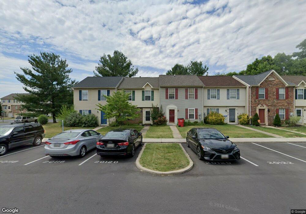
20120 Daniels Cir Hagerstown, MD 21742
Estimated Value: $218,593 - $227,000
--
Bed
2
Baths
1,160
Sq Ft
$191/Sq Ft
Est. Value
About This Home
This home is located at 20120 Daniels Cir, Hagerstown, MD 21742 and is currently estimated at $221,398, approximately $190 per square foot. 20120 Daniels Cir is a home located in Washington County with nearby schools including Ruth Ann Monroe Primary School, Eastern Elementary School, and E. Russell Hicks Middle School.
Ownership History
Date
Name
Owned For
Owner Type
Purchase Details
Closed on
Jun 21, 2018
Sold by
Byrd Evelyn L and Byrd Donald C
Bought by
Byrd Evelyn L and Byrd Donald C
Current Estimated Value
Purchase Details
Closed on
Nov 24, 1995
Sold by
Secretary Of Veterans Affairs
Bought by
Johnson Ronald D and Johnson Cathie J
Purchase Details
Closed on
Nov 18, 1993
Sold by
Washington Homes Inc
Bought by
Sine Brian L
Home Financials for this Owner
Home Financials are based on the most recent Mortgage that was taken out on this home.
Original Mortgage
$85,680
Interest Rate
6.77%
Create a Home Valuation Report for This Property
The Home Valuation Report is an in-depth analysis detailing your home's value as well as a comparison with similar homes in the area
Home Values in the Area
Average Home Value in this Area
Purchase History
| Date | Buyer | Sale Price | Title Company |
|---|---|---|---|
| Byrd Evelyn L | -- | None Available | |
| Johnson Ronald D | $66,500 | -- | |
| Sine Brian L | $84,010 | -- |
Source: Public Records
Mortgage History
| Date | Status | Borrower | Loan Amount |
|---|---|---|---|
| Previous Owner | Sine Brian L | $85,680 | |
| Closed | Johnson Ronald D | -- |
Source: Public Records
Tax History Compared to Growth
Tax History
| Year | Tax Paid | Tax Assessment Tax Assessment Total Assessment is a certain percentage of the fair market value that is determined by local assessors to be the total taxable value of land and additions on the property. | Land | Improvement |
|---|---|---|---|---|
| 2025 | $1,297 | $146,733 | $0 | $0 |
| 2024 | $1,297 | $125,300 | $25,000 | $100,300 |
| 2023 | $1,188 | $114,733 | $0 | $0 |
| 2022 | $1,079 | $104,167 | $0 | $0 |
| 2021 | $992 | $93,600 | $25,000 | $68,600 |
| 2020 | $984 | $93,233 | $0 | $0 |
| 2019 | $984 | $92,867 | $0 | $0 |
| 2018 | $981 | $92,500 | $25,000 | $67,500 |
| 2017 | $981 | $92,500 | $0 | $0 |
| 2016 | -- | $92,500 | $0 | $0 |
| 2015 | $1,254 | $92,800 | $0 | $0 |
| 2014 | $1,254 | $92,800 | $0 | $0 |
Source: Public Records
Map
Nearby Homes
- 20138 Daniels Cir
- 20205 Kellys Ln
- 20057 Rosebank Way
- 20040 Rosebank Way
- 20036 Rosebank Way
- Poplar Plan at Rosebank
- 20023 Rosebank Way
- Caroline Plan at Rosebank
- 20045 Rosebank Way
- 11302 Robinwood Dr
- 20037 Rosebank Way
- 20033 Rosebank Way
- 20035 Rosebank Way
- 20025 Rosebank Way
- LOT 9A Rosebank Way
- LOT 24A Rosebank Way
- LOT 5B Rosebank Way
- LOT 19B Rosebank Way
- LOT 5A Rosebank Way
- LOT 17B Rosebank Way
- 20118 Daniels Cir
- 20124 Daniels Cir
- 20116 Daniels Cir
- 20126 Daniels Cir
- 20112 Daniels Cir
- 20110 Daniels Cir
- 20108 Daniels Cir
- 20106 Daniels Cir
- 20132 Daniels Cir
- 20130 Daniels Cir
- 20134 Daniels Cir
- 20128 Daniels Cir
- 20136 Daniels Cir
- 20100 Kellys Ln
- 11252 Grouse Ln N
- 11243 Grouse Ln N
- 11241 Grouse Ln N
- 11239 Grouse Ln N
- 11237 Grouse Ln N
- 11233 Grouse Ln N