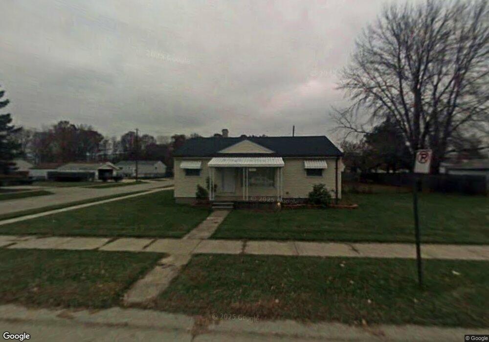
20121 Webster St Unit Bldg-Unit Clinton Township, MI 48035
Estimated Value: $126,000 - $166,000
3
Beds
1
Bath
884
Sq Ft
$172/Sq Ft
Est. Value
About This Home
This home is located at 20121 Webster St Unit Bldg-Unit, Clinton Township, MI 48035 and is currently estimated at $151,682, approximately $171 per square foot. 20121 Webster St Unit Bldg-Unit is a home located in Macomb County with nearby schools including Clintondale High School.
Ownership History
Date
Name
Owned For
Owner Type
Purchase Details
Closed on
Aug 6, 2018
Sold by
Simmons Kelly J and Bohman Kelly Jo
Bought by
America Jr Virgilio Alan P
Current Estimated Value
Home Financials for this Owner
Home Financials are based on the most recent Mortgage that was taken out on this home.
Original Mortgage
$82,741
Outstanding Balance
$71,857
Interest Rate
4.5%
Mortgage Type
VA
Estimated Equity
$79,825
Purchase Details
Closed on
Jul 13, 1999
Sold by
Sieg Debra
Bought by
Jackson Lisa M
Create a Home Valuation Report for This Property
The Home Valuation Report is an in-depth analysis detailing your home's value as well as a comparison with similar homes in the area
Home Values in the Area
Average Home Value in this Area
Purchase History
| Date | Buyer | Sale Price | Title Company |
|---|---|---|---|
| America Jr Virgilio Alan P | $81,000 | Ata National Title Group Llc | |
| Jackson Lisa M | $79,000 | -- |
Source: Public Records
Mortgage History
| Date | Status | Borrower | Loan Amount |
|---|---|---|---|
| Open | America Jr Virgilio Alan P | $82,741 |
Source: Public Records
Tax History Compared to Growth
Tax History
| Year | Tax Paid | Tax Assessment Tax Assessment Total Assessment is a certain percentage of the fair market value that is determined by local assessors to be the total taxable value of land and additions on the property. | Land | Improvement |
|---|---|---|---|---|
| 2025 | $2,140 | $70,700 | $0 | $0 |
| 2024 | $1,317 | $57,100 | $0 | $0 |
| 2023 | $1,250 | $56,900 | $0 | $0 |
| 2022 | $2,078 | $48,300 | $0 | $0 |
| 2021 | $1,875 | $45,800 | $0 | $0 |
| 2020 | $1,127 | $43,400 | $0 | $0 |
| 2019 | $1,726 | $37,400 | $0 | $0 |
| 2018 | $2,171 | $33,300 | $0 | $0 |
| 2017 | $2,607 | $28,600 | $9,300 | $19,300 |
| 2016 | $1,682 | $28,600 | $0 | $0 |
| 2015 | -- | $26,100 | $0 | $0 |
| 2014 | -- | $25,300 | $0 | $0 |
| 2011 | -- | $38,400 | $16,300 | $22,100 |
Source: Public Records
Map
Nearby Homes
- 19630 Webster St
- 20219 Finley St
- 20158 Williamson St
- 20118 Nicke St
- 19573 Heckman St
- 19565 Stafford St
- 20415 Nicke St
- 19578 Opal St
- 19541 Colman St
- 20446 Williamson St
- 20440 Nicke St
- 19633 E 14 Mile Rd
- 34029 Little MacK Ave
- 34161 Beaconsfield St
- 20851 Elm Forest Ct
- 19560 Spagnuolo Ln Unit 22
- 20810 Colman St
- 20178 Lakeworth St
- 19793 Electra St
- 19732 Voiland St
- 20121 Webster St
- 20141 Webster St
- 20114 Colman St
- 20144 Colman St
- 19867 Webster St
- 20110 Webster St
- 20118 Webster St
- 19852 Colman St
- 20149 Webster St
- 20152 Colman St
- 20142 Webster St
- 19840 Colman St
- 19874 Webster St
- 20159 Webster St
- 20162 Colman St
- 20152 Webster St
- 19845 Webster St
- 20115 Colman St
- 20119 Colman St
- 19846 Colman St