20126 Highway 1081 Covington, LA 70435
Estimated Value: $275,868 - $358,000
3
Beds
2
Baths
1,620
Sq Ft
$194/Sq Ft
Est. Value
About This Home
This home is located at 20126 Highway 1081, Covington, LA 70435 and is currently estimated at $313,956, approximately $193 per square foot. 20126 Highway 1081 is a home located in St. Tammany Parish with nearby schools including Lee Road Junior High School and Covington High School.
Ownership History
Date
Name
Owned For
Owner Type
Purchase Details
Closed on
Dec 3, 2014
Sold by
Penton Tammy H and Penton Robert E
Bought by
Penton Tammy H and Penton Robert E
Current Estimated Value
Home Financials for this Owner
Home Financials are based on the most recent Mortgage that was taken out on this home.
Original Mortgage
$148,778
Interest Rate
4.62%
Mortgage Type
FHA
Create a Home Valuation Report for This Property
The Home Valuation Report is an in-depth analysis detailing your home's value as well as a comparison with similar homes in the area
Home Values in the Area
Average Home Value in this Area
Purchase History
| Date | Buyer | Sale Price | Title Company |
|---|---|---|---|
| Penton Tammy H | -- | -- |
Source: Public Records
Mortgage History
| Date | Status | Borrower | Loan Amount |
|---|---|---|---|
| Closed | Penton Tammy H | $148,778 |
Source: Public Records
Tax History
| Year | Tax Paid | Tax Assessment Tax Assessment Total Assessment is a certain percentage of the fair market value that is determined by local assessors to be the total taxable value of land and additions on the property. | Land | Improvement |
|---|---|---|---|---|
| 2025 | -- | $13,945 | $1,903 | $12,042 |
| 2024 | -- | $13,945 | $1,903 | $12,042 |
| 2023 | $1 | $13,945 | $1,903 | $12,042 |
| 2022 | $0 | $13,945 | $1,903 | $12,042 |
| 2021 | $1,812 | $13,945 | $1,903 | $12,042 |
| 2020 | $1,801 | $13,945 | $1,903 | $12,042 |
| 2019 | $1,876 | $13,945 | $1,903 | $12,042 |
| 2018 | $1,878 | $13,736 | $1,694 | $12,042 |
| 2017 | $1,906 | $13,736 | $1,694 | $12,042 |
| 2016 | $1,914 | $13,736 | $1,694 | $12,042 |
| 2015 | $1,991 | $13,742 | $1,700 | $12,042 |
| 2014 | $1,969 | $13,742 | $1,700 | $12,042 |
| 2013 | -- | $13,742 | $1,700 | $12,042 |
Source: Public Records
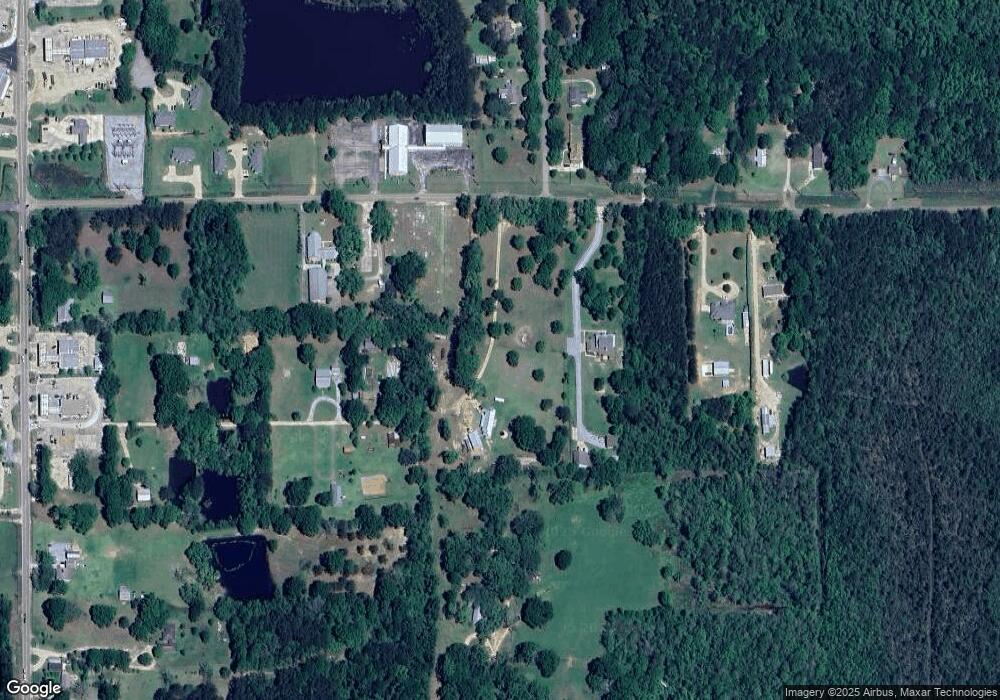
Map
Nearby Homes
- 20320 Brunning Rd
- 00 Leru Rd
- 20213 Narrow Rd
- 20015 Campground Rd
- 20200 Narrow Rd
- 0 Pat O'Brien Rd
- 79205 Pat Obrien Rd
- 79463 Hwy 1129
- 77405 Saint Joseph St
- 78212 Highway 1081
- 77553 Highway 1081 None
- 77553 Louisiana 1081
- 78028 N Fitzmorris Ext None
- 78028 N Fitzmorris Extension
- 0 Pat Obrien Rd
- 79397 Louisiana 1082
- 22009 Spring Clover Ln
- 20140 Walden St
- 20072 Walden St
- 20126 Louisiana 1081
- 20204 Highway 1081
- 20117 A W Galloway Rd
- 20104 A W Galloway Rd
- 20105 A W Galloway Rd
- 0 1081 (Stafford Rd) Hwy Unit 980118
- 0 1081 (Stafford Rd) Hwy Unit 2010797
- 20127 Hwy 1081
- 20116 Louisiana 1081
- 20232 Highway 1081
- 20123 Knights Rd
- 20244 Highway 1081
- 1081 Oak Crest Dr
- 20236 Highway 1081
- 20053 A W Galloway Rd
- 1074 Oak Crest Dr
- 20249 Highway 1081
- 1075 Oak Crest Dr
- 20040 A W Galloway Rd
- 78280 Dutsch Ln
Your Personal Tour Guide
Ask me questions while you tour the home.