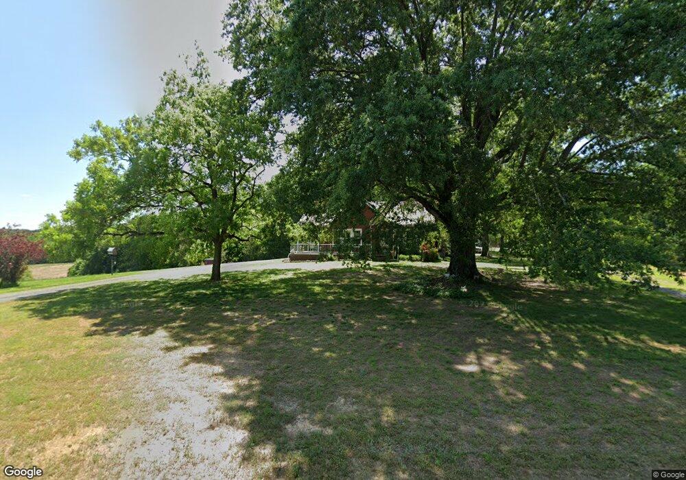
20127 Sam Rd Albemarle, NC 28001
Estimated Value: $433,000 - $625,502
3
Beds
1
Bath
2,980
Sq Ft
$176/Sq Ft
Est. Value
About This Home
This home is located at 20127 Sam Rd, Albemarle, NC 28001 and is currently estimated at $523,501, approximately $175 per square foot. 20127 Sam Rd is a home located in Stanly County with nearby schools including Endy Elementary School, West Stanly Middle School, and West Stanly High School.
Ownership History
Date
Name
Owned For
Owner Type
Purchase Details
Closed on
Sep 9, 2021
Sold by
Sides Donnie S and Sides Kimberly P
Bought by
Sides Donnie S and Sides Kimberly P
Current Estimated Value
Home Financials for this Owner
Home Financials are based on the most recent Mortgage that was taken out on this home.
Original Mortgage
$201,600
Outstanding Balance
$127,652
Interest Rate
2.8%
Mortgage Type
New Conventional
Estimated Equity
$395,849
Purchase Details
Closed on
Sep 24, 2008
Sold by
Sides Johnsie H
Bought by
Sides Donnie S
Home Financials for this Owner
Home Financials are based on the most recent Mortgage that was taken out on this home.
Original Mortgage
$130,000
Interest Rate
6.45%
Mortgage Type
Purchase Money Mortgage
Create a Home Valuation Report for This Property
The Home Valuation Report is an in-depth analysis detailing your home's value as well as a comparison with similar homes in the area
Purchase History
| Date | Buyer | Sale Price | Title Company |
|---|---|---|---|
| Sides Donnie S | -- | None Available | |
| Sides Donnie S | -- | None Listed On Document | |
| Sides Donnie S | -- | None Available |
Source: Public Records
Mortgage History
| Date | Status | Borrower | Loan Amount |
|---|---|---|---|
| Open | Sides Donnie S | $201,600 | |
| Closed | Sides Donnie S | $201,600 | |
| Previous Owner | Sides Donnie S | $130,000 |
Source: Public Records
Tax History
| Year | Tax Paid | Tax Assessment Tax Assessment Total Assessment is a certain percentage of the fair market value that is determined by local assessors to be the total taxable value of land and additions on the property. | Land | Improvement |
|---|---|---|---|---|
| 2025 | $3,136 | $497,750 | $78,700 | $419,050 |
| 2024 | $1,508 | $206,546 | $50,840 | $155,706 |
| 2023 | $1,020 | $143,633 | $56,590 | $87,043 |
| 2022 | $1,117 | $143,633 | $56,590 | $87,043 |
| 2021 | $1,127 | $143,633 | $56,590 | $87,043 |
| 2020 | $1,037 | $122,755 | $51,530 | $71,225 |
| 2019 | $1,042 | $122,755 | $51,530 | $71,225 |
| 2018 | $626 | $122,755 | $51,530 | $71,225 |
| 2017 | $896 | $122,755 | $51,530 | $71,225 |
| 2016 | $850 | $116,506 | $47,220 | $69,286 |
| 2015 | $936 | $116,506 | $47,220 | $69,286 |
| 2014 | $865 | $116,506 | $47,220 | $69,286 |
Source: Public Records
Map
Nearby Homes
- 20402 Norton Rd
- 17154 Frog Pond Rd
- 18613 Newsome Rd
- 20673 Sam Rd
- 25611 Bridgeport Rd
- 20420 Ridgecrest Rd
- 2411 Stoney Run Dr
- 28100 N Carolina 24
- 28100 Nc 24 27 Hwy
- 00 Offie Rd
- 03 Ramsey Rd
- 29660 Sides Rd
- 25683 April Ln
- 00 Carriker Rd
- VAC Ridgebrook Ln
- 14309 Liberty Hill Church Rd
- 17858 Red Ridge Ct
- 1911 Redwood Dr
- 24686 Barbees Grove Rd
- 00 Millingport Rd Unit 1
- 20171 Sam Rd
- 20089 Sam Rd
- 20186 Sam Rd
- 20225 Sam Rd
- 24133 Nc 24 27 Hwy
- 20028 Sam Rd
- 24195 Nc 24 27 Hwy
- 20269 Sam Rd
- 20270 Friendly Dr
- 24294 Nc 24 27 Hwy
- 24327 Nc Hwy 24 27 Hwy
- 24047 Nc 24 27 Hwy
- 24047 Nc 24 27 Hwy
- 20255 Friendly Dr
- 20218 Friendly Dr
- 20325 Sam Rd
- 20334 Sam Rd
- 24344 Nc Hwy 24 27 Hwy
- 24344 Nc 24 27 Hwy
- 0000 Sam Rd
Your Personal Tour Guide
Ask me questions while you tour the home.