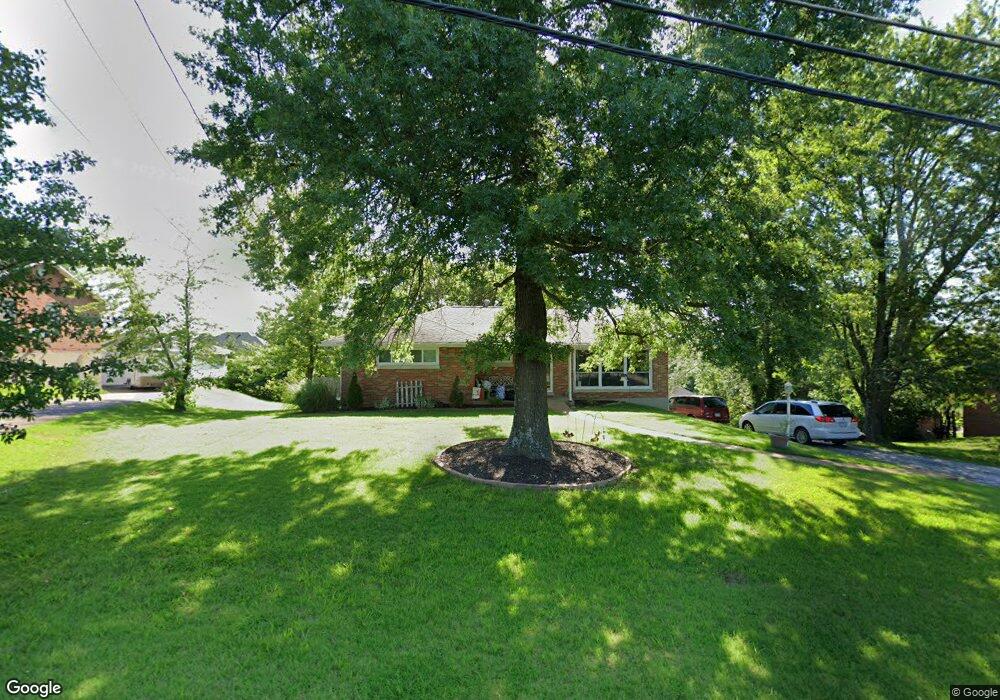
2013 Bald Hill Rd Jefferson City, MO 65101
Estimated Value: $198,000 - $245,000
3
Beds
3
Baths
1,404
Sq Ft
$161/Sq Ft
Est. Value
About This Home
This home is located at 2013 Bald Hill Rd, Jefferson City, MO 65101 and is currently estimated at $226,480, approximately $161 per square foot. 2013 Bald Hill Rd is a home located in Cole County with nearby schools including Moreau Heights Elementary School, Lewis & Clark Middle School, and Jefferson City High School.
Ownership History
Date
Name
Owned For
Owner Type
Purchase Details
Closed on
Jun 26, 2023
Sold by
Hi-Phyv Financial Services Llc
Bought by
Steele Nancy L and Steele Leslie W
Current Estimated Value
Home Financials for this Owner
Home Financials are based on the most recent Mortgage that was taken out on this home.
Original Mortgage
$202,500
Outstanding Balance
$196,610
Interest Rate
6.35%
Mortgage Type
New Conventional
Estimated Equity
$29,870
Create a Home Valuation Report for This Property
The Home Valuation Report is an in-depth analysis detailing your home's value as well as a comparison with similar homes in the area
Home Values in the Area
Average Home Value in this Area
Purchase History
| Date | Buyer | Sale Price | Title Company |
|---|---|---|---|
| Steele Nancy L | -- | Midwest Title |
Source: Public Records
Mortgage History
| Date | Status | Borrower | Loan Amount |
|---|---|---|---|
| Open | Steele Nancy L | $202,500 |
Source: Public Records
Tax History Compared to Growth
Tax History
| Year | Tax Paid | Tax Assessment Tax Assessment Total Assessment is a certain percentage of the fair market value that is determined by local assessors to be the total taxable value of land and additions on the property. | Land | Improvement |
|---|---|---|---|---|
| 2025 | $1,374 | $23,040 | $2,660 | $20,380 |
| 2024 | $1,374 | $23,040 | $2,660 | $20,380 |
| 2023 | $1,374 | $23,040 | $2,660 | $20,380 |
| 2022 | $1,310 | $21,890 | $0 | $21,890 |
| 2021 | $1,317 | $21,890 | $0 | $21,890 |
| 2020 | $1,333 | $23,959 | $2,660 | $21,299 |
| 2019 | $1,296 | $21,831 | $2,660 | $19,171 |
| 2018 | $1,294 | $22,230 | $2,660 | $19,570 |
| 2017 | $1,264 | $21,888 | $2,660 | $19,228 |
| 2016 | -- | $21,888 | $2,660 | $19,228 |
| 2015 | $1,080 | $0 | $0 | $0 |
| 2014 | $1,080 | $21,888 | $2,660 | $19,228 |
Source: Public Records
Map
Nearby Homes
- 0 Eastland (Lots 338 339 340) Dr Unit 10066899
- 0 Eastland (Lot 361) Dr Unit 10065799
- 0 Schotthill Woods Dr
- 1635 Seven Hills Rd
- 425 Cedar Creek Ct
- 0 Rolling Hills Rd
- 1820 Green Berry Rd
- 0 Eastland Dr
- 321 Joe Ln
- 1828 Green Berry Rd
- 337 David St
- 1422 E Miller St
- 0 David St
- 1606 E Mccarty St
- 1743 Engelwood Dr
- 1233 E Dunklin St Unit A&B
- 1219 Cottage Ln
- 1105 Moreau Dr
- 1403 E Mccarty St
- 1114 Moreau Dr
- 2009 Bald Hill Rd
- 2017 Bald Hill Rd
- 2018 Brady Dr
- 2022 Brady Dr
- 2003 Bald Hill Rd
- 2014 Bald Hill Rd
- 2018 Bald Hill Rd
- 2019 Brady Dr
- 1925 Bald Hill Rd
- 2006 Brady Dr
- 1115 Eastland Dr
- 2013 Brady Dr
- 2009 Brady Dr
- 1923 Bald Hill Rd
- 1109 Eastland Dr
- 1922 Bald Hill Rd
- 2002 Brady Dr
- 2104 Bald Hill Rd
- 1105 Eastland Dr
- 2005 Brady Dr