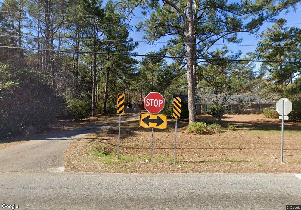
2013 Beattie Rd Albany, GA 31721
Estimated Value: $408,000 - $744,000
4
Beds
5
Baths
4,128
Sq Ft
$147/Sq Ft
Est. Value
About This Home
This home is located at 2013 Beattie Rd, Albany, GA 31721 and is currently estimated at $606,848, approximately $147 per square foot. 2013 Beattie Rd is a home located in Dougherty County with nearby schools including Live Oak Elementary School, Merry Acres Middle School, and Westover High School.
Ownership History
Date
Name
Owned For
Owner Type
Purchase Details
Closed on
Jul 1, 2021
Sold by
Murdock Angela H
Bought by
Gatewood Catherine H and Gatewood James C
Current Estimated Value
Home Financials for this Owner
Home Financials are based on the most recent Mortgage that was taken out on this home.
Original Mortgage
$425,000
Outstanding Balance
$385,622
Interest Rate
2.9%
Mortgage Type
New Conventional
Estimated Equity
$221,226
Purchase Details
Closed on
Jan 26, 1999
Sold by
Murdock Andy P Aka Andre Philip Murdoc
Bought by
Murdock Angela H
Purchase Details
Closed on
Feb 20, 1998
Sold by
Williams Mary Gail
Bought by
Murdock Andy P
Purchase Details
Closed on
Apr 12, 1988
Sold by
Maxxus Inc
Bought by
Williams Mary Gail
Create a Home Valuation Report for This Property
The Home Valuation Report is an in-depth analysis detailing your home's value as well as a comparison with similar homes in the area
Home Values in the Area
Average Home Value in this Area
Purchase History
| Date | Buyer | Sale Price | Title Company |
|---|---|---|---|
| Gatewood Catherine H | $625,000 | -- | |
| Murdock Angela H | -- | -- | |
| Murdock Andy P | -- | -- | |
| Williams Mary Gail | $40,000 | -- |
Source: Public Records
Mortgage History
| Date | Status | Borrower | Loan Amount |
|---|---|---|---|
| Open | Gatewood Catherine H | $425,000 |
Source: Public Records
Tax History Compared to Growth
Tax History
| Year | Tax Paid | Tax Assessment Tax Assessment Total Assessment is a certain percentage of the fair market value that is determined by local assessors to be the total taxable value of land and additions on the property. | Land | Improvement |
|---|---|---|---|---|
| 2024 | $7,116 | $151,160 | $36,000 | $115,160 |
| 2023 | $6,111 | $151,160 | $36,000 | $115,160 |
| 2022 | $7,069 | $151,160 | $36,000 | $115,160 |
| 2021 | $6,467 | $151,160 | $36,000 | $115,160 |
| 2020 | $6,482 | $151,160 | $36,000 | $115,160 |
| 2019 | $6,507 | $151,160 | $36,000 | $115,160 |
| 2018 | $6,534 | $151,160 | $36,000 | $115,160 |
| 2017 | $6,087 | $151,160 | $36,000 | $115,160 |
| 2016 | $6,090 | $151,160 | $36,000 | $115,160 |
| 2015 | $6,107 | $151,160 | $36,000 | $115,160 |
| 2014 | $6,030 | $151,160 | $36,000 | $115,160 |
Source: Public Records
Map
Nearby Homes
- 2212 Arrowwood Dr
- 3422 Plantation Dr
- 2207 Vineyard Ct
- 2221 Bedford Ct
- 2305 E Alberson Dr
- 2202 Trowbridge Rd
- 1729 Dorchester Dr
- 2107 Cumberland Ln
- 2303 Saddlebrook Ct
- 1903 Devon Dr
- 3424 Bellingham Ln
- 1720 Whisperwood St
- 2115 Cumberland Ln
- 3114 Westgate Dr
- 2421 E Alberson Dr
- 3013 Ember Ct
- 2423 E Alberson Dr
- 2532 E Alberson Dr
- 1627 Devon Dr
- 3108 Cane Mill Ct
- 2015 Beattie Rd
- 2025 Beattie Rd
- 2027 Beattie Rd
- 2029 Beattie Rd
- 2021 Beattie Rd
- 3318 Westgate Dr
- 2101 Beattie Rd
- 2005 Beattie Rd
- 3317 Westgate Dr
- 2000 Trowbridge Rd
- 1731 Beattie Rd
- 2009 Beattie Rd
- 1800 - 2 Beattie Rd
- 1800 Beattie Rd
- 2019 Beattie Rd
- 2002 Beattie Rd
- 3316 Westgate Dr
- 2017 Beattie Rd
- 3600 Mayfair Ln
- 3604 Mayfair Ln
